
| Memorials | : | 1 |
| Location | : | Downey, Los Angeles County, USA |
| Coordinate | : | 33.9235609, -118.1694582 |
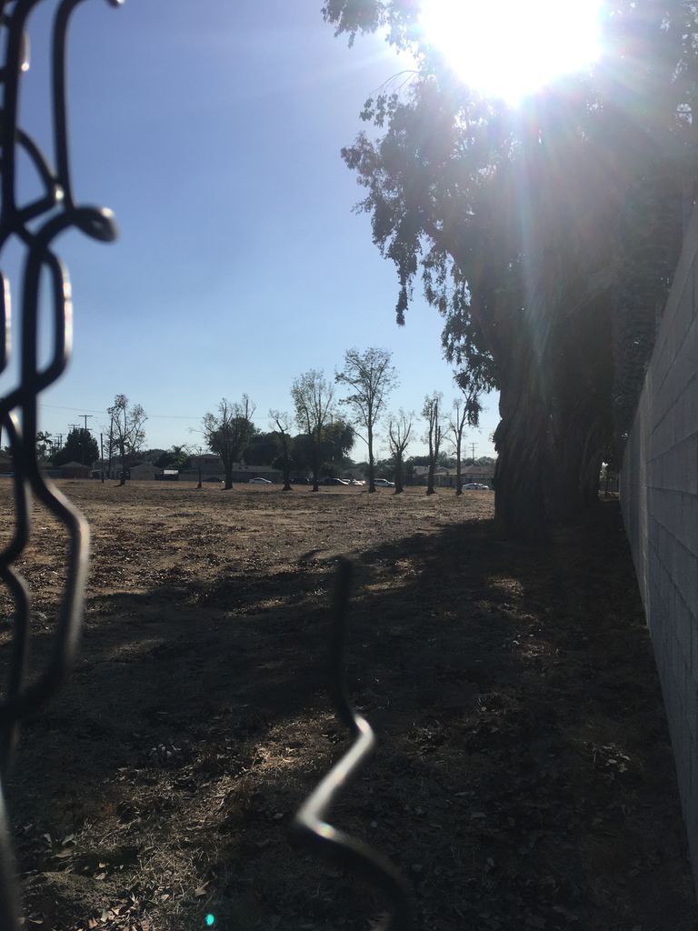
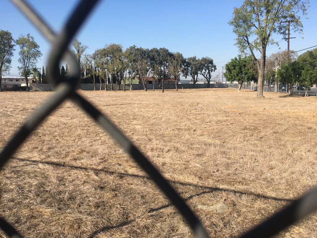
| Description | : | The Los Angeles County Farm opened in late November, 1888 near Downey, California on about 124 acres of land, eventually growing to almost 600 acres. The “inmates” were the elderly, the disabled, the physically and mentally ill. Most were from other states or foreign countries. They had come to California seeking their fortunes or to regain their health. When they became ill and destitute they had no family support system to fall back on and had to turn to the county government for help. The farm provided shelter, good food, medical care and the possibility of recovering and making a... Read More |
frequently asked questions (FAQ):
-
Where is Los Angeles County Farm Cemetery?
Los Angeles County Farm Cemetery is located at Northwest corner of Garfield Avenue and Gardendale Street Downey, Los Angeles County ,California ,USA.
-
Los Angeles County Farm Cemetery cemetery's updated grave count on graveviews.com?
1 memorials
-
Where are the coordinates of the Los Angeles County Farm Cemetery?
Latitude: 33.9235609
Longitude: -118.1694582
Nearby Cemetories:
1. Downey District Cemetery
Downey, Los Angeles County, USA
Coordinate: 33.9102783, -118.1399994
2. Angeles Abbey Memorial Park
Compton, Los Angeles County, USA
Coordinate: 33.8982887, -118.2065582
3. Saint Marks Episcopal Church Columbarium
Downey, Los Angeles County, USA
Coordinate: 33.9491800, -118.1271200
4. Young Israel Cemetery
Norwalk, Los Angeles County, USA
Coordinate: 33.9071000, -118.1081300
5. Mount Carmel Cemetery
Commerce, Los Angeles County, USA
Coordinate: 33.9736300, -118.1443500
6. Park Lawn Memorial Park
Commerce, Los Angeles County, USA
Coordinate: 33.9734200, -118.1427500
7. Mount Olive Memorial Park
Los Angeles, Los Angeles County, USA
Coordinate: 33.9795280, -118.1349300
8. Russian Molokan Cemetery
Commerce, Los Angeles County, USA
Coordinate: 33.9798600, -118.1356400
9. Paradise Memorial Park
Santa Fe Springs, Los Angeles County, USA
Coordinate: 33.9354540, -118.0869900
10. Little Lake Cemetery
Santa Fe Springs, Los Angeles County, USA
Coordinate: 33.9317900, -118.0779100
11. Woodlawn Memorial Park
Compton, Los Angeles County, USA
Coordinate: 33.8812700, -118.2468800
12. Palm Cemetery
Long Beach, Los Angeles County, USA
Coordinate: 33.8447200, -118.1682500
13. Forest Lawn Memorial Park
Long Beach, Los Angeles County, USA
Coordinate: 33.8436012, -118.1691971
14. Artesia Cemetery
Cerritos, Los Angeles County, USA
Coordinate: 33.8717003, -118.0958023
15. Lincoln Memorial Park
Carson, Los Angeles County, USA
Coordinate: 33.8806000, -118.2521973
16. All Souls Cemetery
Long Beach, Los Angeles County, USA
Coordinate: 33.8405991, -118.1647034
17. Cinco Camp Burial Grounds
Cantil, Kern County, USA
Coordinate: 33.9277710, -118.0649960
18. Norwalk State Hospital Cemetery
Norwalk, Los Angeles County, USA
Coordinate: 33.9277710, -118.0649960
19. Natural History Museum Warehouse
Vernon, Los Angeles County, USA
Coordinate: 34.0046280, -118.2221420
20. Beth Israel Cemetery
Los Angeles, Los Angeles County, USA
Coordinate: 34.0205994, -118.1772003
21. Mount Zion Cemetery
Los Angeles, Los Angeles County, USA
Coordinate: 34.0214005, -118.1774979
22. Home of Peace Memorial Park
East Los Angeles, Los Angeles County, USA
Coordinate: 34.0217018, -118.1742020
23. Agudath Achim Cemetery
Los Angeles, Los Angeles County, USA
Coordinate: 34.0216713, -118.1799393
24. Olive Grove Cemetery
Whittier, Los Angeles County, USA
Coordinate: 33.9452300, -118.0511700