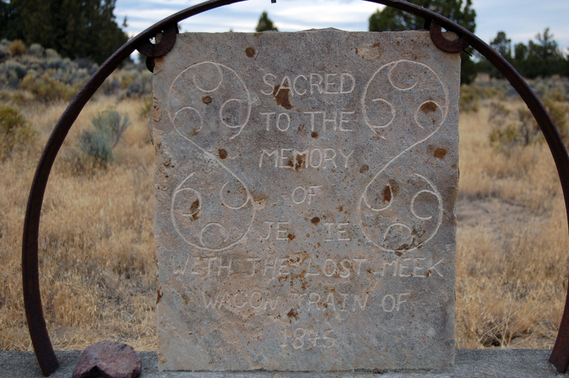
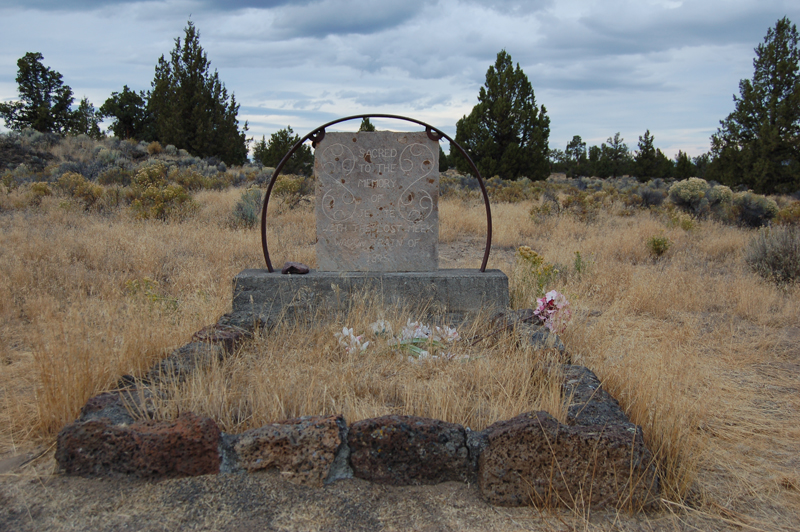
| Memorials | : | 0 |
| Location | : | Alfalfa, Deschutes County, USA |
| Coordinate | : | 44.0601578, -121.0321198 |
| Description | : | This grave can be found by going east from Bend on the Alfalfa Road. After crossing over the water canal, turn south, going about 1 mile, then west, cross the canal, again turning south on the ditch road for 1/4 mile and west to the grave. NE 1/4 of the NE 1/4 of Section 34, Twp. 17S, Range 14E |
frequently asked questions (FAQ):
-
Where is Lost Immigrant Grave?
Lost Immigrant Grave is located at Walker Road Alfalfa, Deschutes County ,Oregon , 97701USA.
-
Lost Immigrant Grave cemetery's updated grave count on graveviews.com?
0 memorials
-
Where are the coordinates of the Lost Immigrant Grave?
Latitude: 44.0601578
Longitude: -121.0321198
Nearby Cemetories:
1. Pilgrims Rest Cemetery
Powell Butte, Crook County, USA
Coordinate: 44.2038400, -121.0271400
2. Greenwood Cemetery
Bend, Deschutes County, USA
Coordinate: 44.0569000, -121.2866974
3. Pilot Butte Cemetery
Bend, Deschutes County, USA
Coordinate: 44.0525360, -121.2886150
4. Deschutes Memorial Gardens
Bend, Deschutes County, USA
Coordinate: 44.1183014, -121.2906036
5. Trinity Episcopal Church Columbarium
Bend, Deschutes County, USA
Coordinate: 44.0558840, -121.3178980
6. Cooley-Tetherow Meek Cutoff Lone Burial Site
Redmond, Deschutes County, USA
Coordinate: 44.2246700, -121.2066700
7. Redmond Memorial Cemetery
Redmond, Deschutes County, USA
Coordinate: 44.2449989, -121.2016983
8. Tumalo Cemetery
Tumalo, Deschutes County, USA
Coordinate: 44.1652985, -121.3181000
9. Roberts Cemetery
Crook County, USA
Coordinate: 44.0755997, -120.6875000
10. Juniper Haven Cemetery
Prineville, Crook County, USA
Coordinate: 44.3153000, -120.8471985
11. Alkali Butte Meek Gravesites
Post, Crook County, USA
Coordinate: 44.0559900, -120.6161400
12. Terrebonne Pioneer Cemetery
Terrebonne, Deschutes County, USA
Coordinate: 44.3486100, -121.1502800
13. Harper Cemetery
La Pine, Deschutes County, USA
Coordinate: 43.8582993, -121.4458008
14. McCoin Orchard Grave Site
Opal City, Jefferson County, USA
Coordinate: 44.4284000, -121.0888100
15. Dehler Grizzly Mountain Cemetery
Prineville, Crook County, USA
Coordinate: 44.4251800, -120.9356100
16. Mill Creek Cemetery
Crook County, USA
Coordinate: 44.3208008, -120.6611023
17. Vandevert Gravesite
Sunriver, Deschutes County, USA
Coordinate: 43.8315163, -121.4457169
18. Cyrus Cemetery
Cloverdale, Deschutes County, USA
Coordinate: 44.2693500, -121.4727000
19. Knox Cemetery
Crook County, USA
Coordinate: 44.1121000, -120.4808300
20. Gray Butte Cemetery
Culver, Jefferson County, USA
Coordinate: 44.4626007, -121.0992966
21. Camp Polk Cemetery
Cloverdale, Deschutes County, USA
Coordinate: 44.3231010, -121.5139008
22. Lost Meek Rimrock Springs Burial Site
Grizzly, Jefferson County, USA
Coordinate: 44.4954450, -121.0546000
23. Grizzly Cemetery
Jefferson County, USA
Coordinate: 44.4902992, -120.9332962
24. Breese Cemetery
Paulina Lake Lodge, Deschutes County, USA
Coordinate: 43.7263985, -121.4375000


