
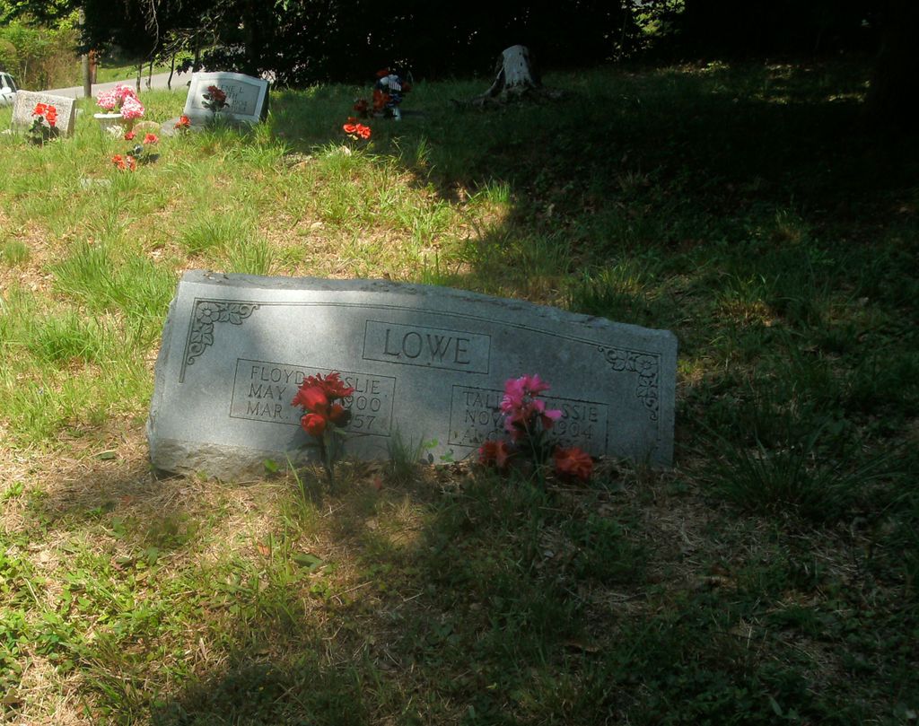
| Memorials | : | 0 |
| Location | : | Coal Run Village, Pike County, USA |
| Coordinate | : | 37.5338780, -82.5749940 |
| Description | : | First left up Cowpen(Coal Run,Pike County, Ky) on the road named Arrowhead Estates. Cemetery on the right at the top of hill(partial fenced on side and back. |
frequently asked questions (FAQ):
-
Where is Lowe Cemetery?
Lowe Cemetery is located at Coal Run Village, Pike County ,Kentucky ,USA.
-
Lowe Cemetery cemetery's updated grave count on graveviews.com?
0 memorials
-
Where are the coordinates of the Lowe Cemetery?
Latitude: 37.5338780
Longitude: -82.5749940
Nearby Cemetories:
1. Mossy Bottom Cemetery
Coal Run Village, Pike County, USA
Coordinate: 37.5278760, -82.5735050
2. Joseph E. Stanley Cemetery
Coal Run Village, Pike County, USA
Coordinate: 37.5190400, -82.5650200
3. Marrs Cemetery -- Broad Bottom
Broad Bottom, Pike County, USA
Coordinate: 37.5380800, -82.5968800
4. Compton Cemetery
Broad Bottom, Pike County, USA
Coordinate: 37.5184760, -82.5894850
5. Ratliff-Steele Cemetery
Coal Run Village, Pike County, USA
Coordinate: 37.5509652, -82.5869681
6. Adkins and Justice Family Cemetery
Blair Town, Pike County, USA
Coordinate: 37.5557310, -82.5546800
7. Weddington Cemetery
Coal Run Village, Pike County, USA
Coordinate: 37.5119019, -82.5511017
8. Clark Cemetery
Coal Run Village, Pike County, USA
Coordinate: 37.5044060, -82.5515320
9. Clevinger Cemetery
Coal Run Village, Pike County, USA
Coordinate: 37.5467000, -82.5270200
10. Betsy Layne Cemetery
Betsy Layne, Floyd County, USA
Coordinate: 37.5545040, -82.6352940
11. Akers Family Cemetery
Dana, Floyd County, USA
Coordinate: 37.5467280, -82.6728690
12. Elijah Akers Cemetery
Dana, Floyd County, USA
Coordinate: 37.5565110, -82.6811720
13. John Hall Cemetery
Banner, Floyd County, USA
Coordinate: 37.5150800, -82.6831500
14. Conn-Samons Cemetery
Dana, Floyd County, USA
Coordinate: 37.5484200, -82.6850840
15. Harvey Family Cemetery
Banner, Floyd County, USA
Coordinate: 37.5229000, -82.6863000
16. Wilford Boyd Cemetery
Dana, Floyd County, USA
Coordinate: 37.5516220, -82.6880930
17. Fred Conn Cemetery
Dana, Floyd County, USA
Coordinate: 37.5510380, -82.6942530
18. John D Boyd Cemetery
Dana, Floyd County, USA
Coordinate: 37.5597600, -82.6942210
19. Williams Cemetery #2
Dana, Floyd County, USA
Coordinate: 37.5669640, -82.6922410
20. Allen W Akers Cemetery
Banner, Floyd County, USA
Coordinate: 37.5670570, -82.6923360
21. Hall Cemetery #3
Banner, Floyd County, USA
Coordinate: 37.5884267, -82.6909192
22. Newsome Cemetery
Craynor, Floyd County, USA
Coordinate: 37.4453820, -82.6583470
23. Grant Weddington Cemetery
Banner, Floyd County, USA
Coordinate: 37.6001480, -82.6921580
24. Crum Cemetery
Banner, Floyd County, USA
Coordinate: 37.5932553, -82.7016773