
| Memorials | : | 0 |
| Location | : | Coal Run Village, Pike County, USA |
| Coordinate | : | 37.5278760, -82.5735050 |
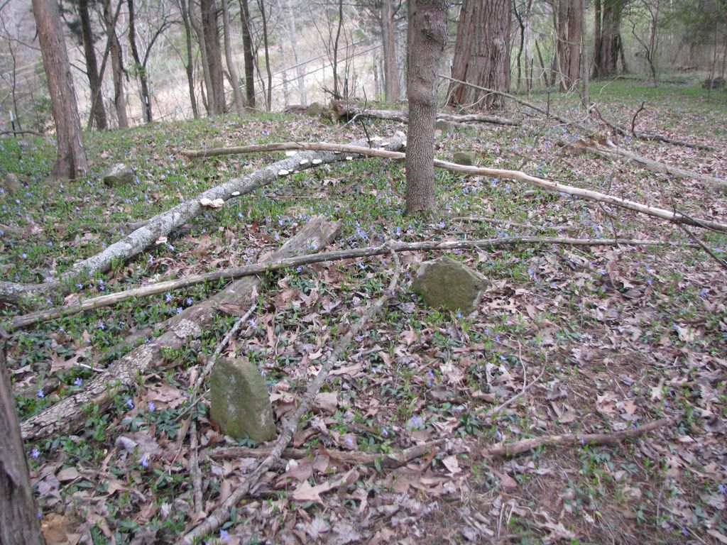
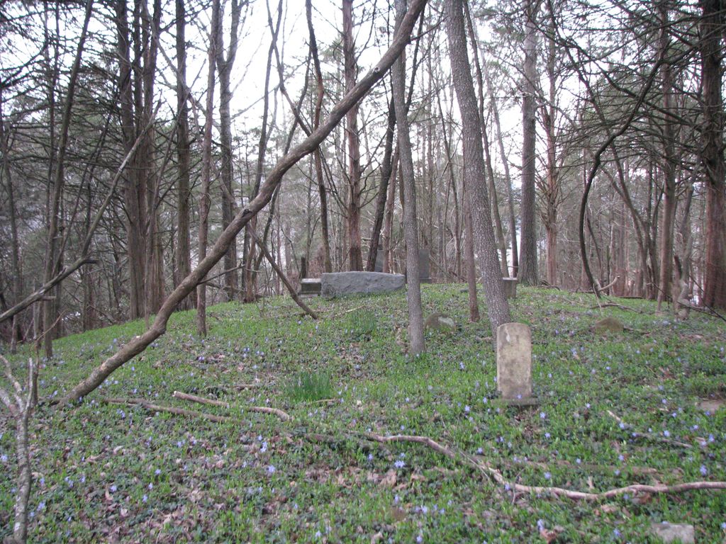
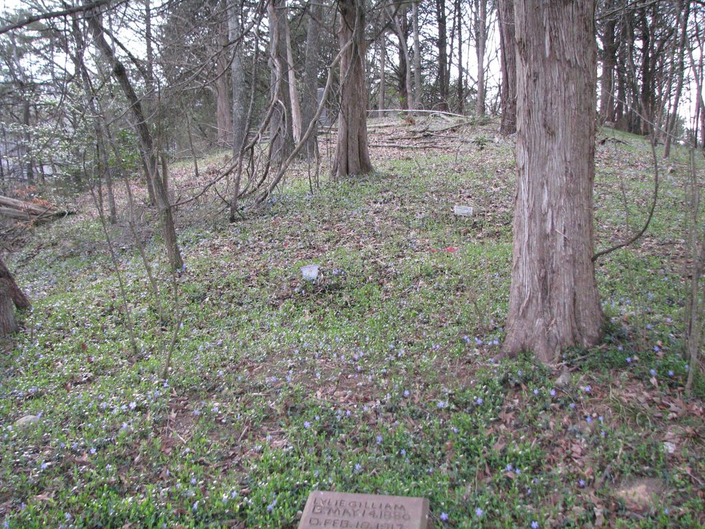
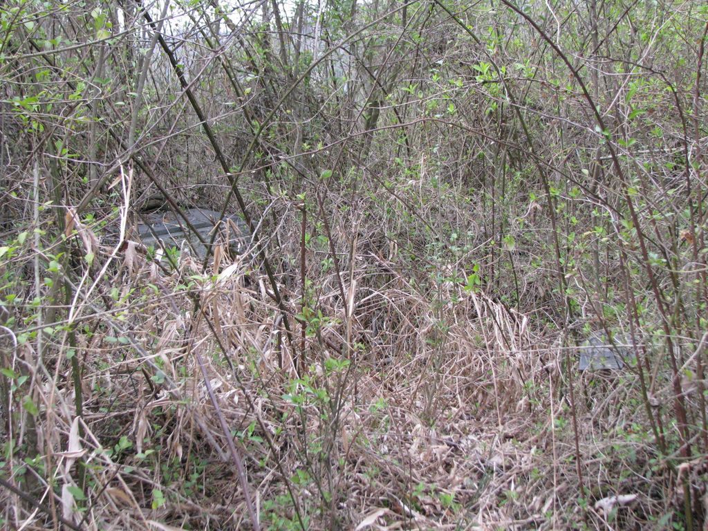
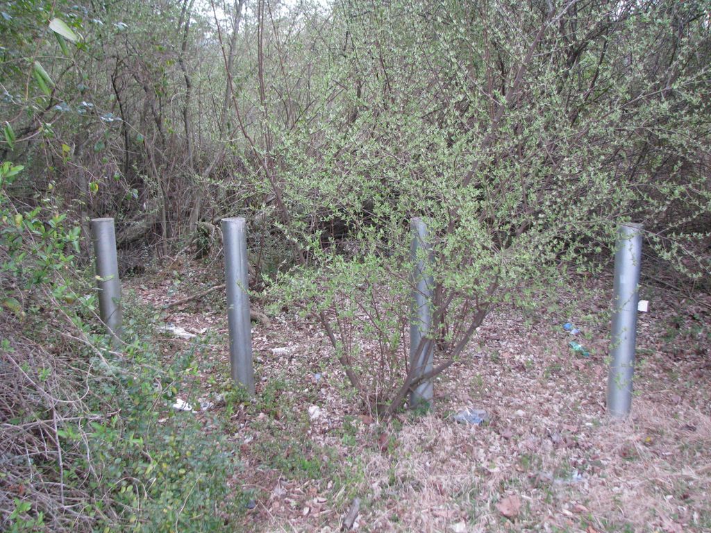
| Description | : | I don't know the correct name for this cemetery. I named it for it's location and death certificates that named location as "Mossy Bottom" instead of giving the actual cemetery name....If you have further information about it, I would love to hear from you. Contributor #47660252 Could be known as the Nan Weddington Cemetery. Located to the right of Wind Mill Restaurant parking lot. Locate the medal post to the right of the parking lot, blocking cars, go through those and follow the path back to the cemetery. Extremely overgrown and lost to time. |
frequently asked questions (FAQ):
-
Where is Mossy Bottom Cemetery?
Mossy Bottom Cemetery is located at Coal Run Village, Pike County ,Kentucky ,USA.
-
Mossy Bottom Cemetery cemetery's updated grave count on graveviews.com?
0 memorials
-
Where are the coordinates of the Mossy Bottom Cemetery?
Latitude: 37.5278760
Longitude: -82.5735050
Nearby Cemetories:
1. Lowe Cemetery
Coal Run Village, Pike County, USA
Coordinate: 37.5338780, -82.5749940
2. Joseph E. Stanley Cemetery
Coal Run Village, Pike County, USA
Coordinate: 37.5190400, -82.5650200
3. Compton Cemetery
Broad Bottom, Pike County, USA
Coordinate: 37.5184760, -82.5894850
4. Marrs Cemetery -- Broad Bottom
Broad Bottom, Pike County, USA
Coordinate: 37.5380800, -82.5968800
5. Weddington Cemetery
Coal Run Village, Pike County, USA
Coordinate: 37.5119019, -82.5511017
6. Ratliff-Steele Cemetery
Coal Run Village, Pike County, USA
Coordinate: 37.5509652, -82.5869681
7. Clark Cemetery
Coal Run Village, Pike County, USA
Coordinate: 37.5044060, -82.5515320
8. Adkins and Justice Family Cemetery
Blair Town, Pike County, USA
Coordinate: 37.5557310, -82.5546800
9. Clevinger Cemetery
Coal Run Village, Pike County, USA
Coordinate: 37.5467000, -82.5270200
10. Betsy Layne Cemetery
Betsy Layne, Floyd County, USA
Coordinate: 37.5545040, -82.6352940
11. Akers Family Cemetery
Dana, Floyd County, USA
Coordinate: 37.5467280, -82.6728690
12. John Hall Cemetery
Banner, Floyd County, USA
Coordinate: 37.5150800, -82.6831500
13. Harvey Family Cemetery
Banner, Floyd County, USA
Coordinate: 37.5229000, -82.6863000
14. Elijah Akers Cemetery
Dana, Floyd County, USA
Coordinate: 37.5565110, -82.6811720
15. Conn-Samons Cemetery
Dana, Floyd County, USA
Coordinate: 37.5484200, -82.6850840
16. Wilford Boyd Cemetery
Dana, Floyd County, USA
Coordinate: 37.5516220, -82.6880930
17. Fred Conn Cemetery
Dana, Floyd County, USA
Coordinate: 37.5510380, -82.6942530
18. John D Boyd Cemetery
Dana, Floyd County, USA
Coordinate: 37.5597600, -82.6942210
19. Williams Cemetery #2
Dana, Floyd County, USA
Coordinate: 37.5669640, -82.6922410
20. Allen W Akers Cemetery
Banner, Floyd County, USA
Coordinate: 37.5670570, -82.6923360
21. Newsome Cemetery
Craynor, Floyd County, USA
Coordinate: 37.4453820, -82.6583470
22. Hall Cemetery #3
Banner, Floyd County, USA
Coordinate: 37.5884267, -82.6909192
23. Osbrone Cemetery
Dry Creek, Knott County, USA
Coordinate: 37.4465141, -82.6728058
24. Grant Weddington Cemetery
Banner, Floyd County, USA
Coordinate: 37.6001480, -82.6921580