| Memorials | : | 0 |
| Location | : | Lustleigh, Teignbridge District, England |
| Website | : | www.lustleigh-society.org.uk |
| Coordinate | : | 50.6148900, -3.7172400 |
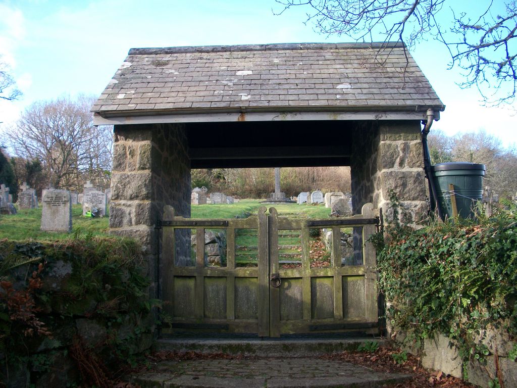
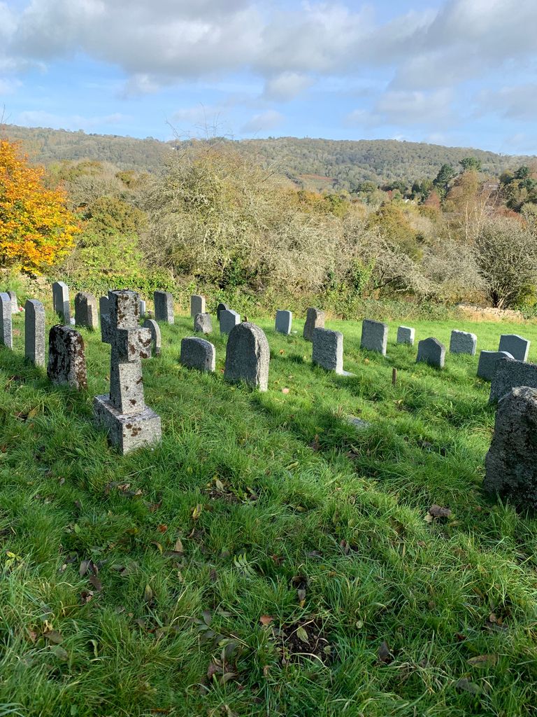
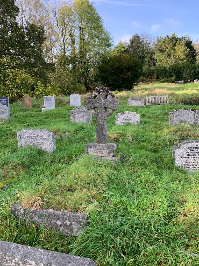
| Description | : | The burial grounds around St John the Baptist Parish Church in Lustleigh were very limited in space, and so in 1929 plans were approved for the cemetery in Mill Lane. The ground was consecrated in 1932 and the first burials took place from December 1932 onwards. Further information and records are available from the ‘Lustleigh Community Archive' Lustleigh Cemetery on Mill Lane is in a very quiet, beautiful spot, overlooking the valley. If you wish to visit, there is very little parking near this cemetery - with space for one small car, along a narrow, winding lane. Its recommended you park... Read More |
frequently asked questions (FAQ):
-
Where is Lustleigh Cemetery?
Lustleigh Cemetery is located at Mill Lane Lustleigh, Teignbridge District ,Devon ,England.
-
Lustleigh Cemetery cemetery's updated grave count on graveviews.com?
0 memorials
-
Where are the coordinates of the Lustleigh Cemetery?
Latitude: 50.6148900
Longitude: -3.7172400
Nearby Cemetories:
1. St. John the Baptist Churchyard
Lustleigh, Teignbridge District, England
Coordinate: 50.6183700, -3.7188600
2. St Peter, St Paul & St Thomas of Canterbury
Bovey Tracey, Teignbridge District, England
Coordinate: 50.5950903, -3.6673713
3. St Mary's Church
Hennock, Teignbridge District, England
Coordinate: 50.6162400, -3.6550200
4. Bovey Tracey Cemetery
Bovey Tracey, Teignbridge District, England
Coordinate: 50.5937100, -3.6618700
5. St John the Baptist Churchyard
North Bovey, West Devon Borough, England
Coordinate: 50.6407600, -3.7835500
6. St. Andrew's Churchyard
Moretonhampstead, Teignbridge District, England
Coordinate: 50.6611600, -3.7625000
7. St James Churchyard
Christow, Teignbridge District, England
Coordinate: 50.6532970, -3.6477180
8. St Paul's Churchyard
Chudleigh, Teignbridge District, England
Coordinate: 50.5848300, -3.6324800
9. Christow Cemetery
Christow, Teignbridge District, England
Coordinate: 50.6581500, -3.6436800
10. St. Pancras Churchyard
Widecombe-in-the-Moor, Teignbridge District, England
Coordinate: 50.5767810, -3.8109650
11. St John The Baptist
Ashton, Teignbridge District, England
Coordinate: 50.6505730, -3.6193410
12. Ss Martin and Mary Churchyard
Chudleigh, Teignbridge District, England
Coordinate: 50.6033400, -3.6021500
13. St Mary Churchyard
Dunsford, Teignbridge District, England
Coordinate: 50.6903000, -3.6819120
14. Tower Hill Cemetery
Chudleigh, Teignbridge District, England
Coordinate: 50.6049295, -3.5931153
15. St Michaels Church
Doddiscombsleigh, Teignbridge District, England
Coordinate: 50.6674490, -3.6179080
16. St Cyprian Chapel
Chudleigh, Teignbridge District, England
Coordinate: 50.5906820, -3.5891920
17. St. Peter's Churchyard
Buckland-in-the-Moor, Teignbridge District, England
Coordinate: 50.5441800, -3.8070600
18. Kingsteignton Cemetery
Kingsteignton, Teignbridge District, England
Coordinate: 50.5557300, -3.6032400
19. St Michael the Archangel Churchyard
Chagford, West Devon Borough, England
Coordinate: 50.6724500, -3.8392600
20. St John the Baptist Churchyard. Leusdon
Newton Abbot, Teignbridge District, England
Coordinate: 50.5441200, -3.8228700
21. All Saints Churchyard
Highweek, Teignbridge District, England
Coordinate: 50.5372570, -3.6224880
22. Holy Trinity Churchyard
Drewsteignton, West Devon Borough, England
Coordinate: 50.7035570, -3.7906940
23. St Andrew Churchyard
Ashburton, Teignbridge District, England
Coordinate: 50.5144940, -3.7572150
24. St Michael's Churchyard
Kingsteignton, Teignbridge District, England
Coordinate: 50.5448300, -3.5946480


