
| Memorials | : | 72 |
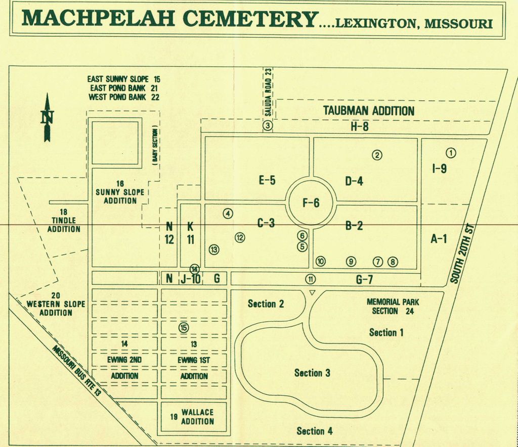
| Location | : | Lexington, Lafayette County, USA |
| Coordinate | : | 39.1787400, -93.8751300 |
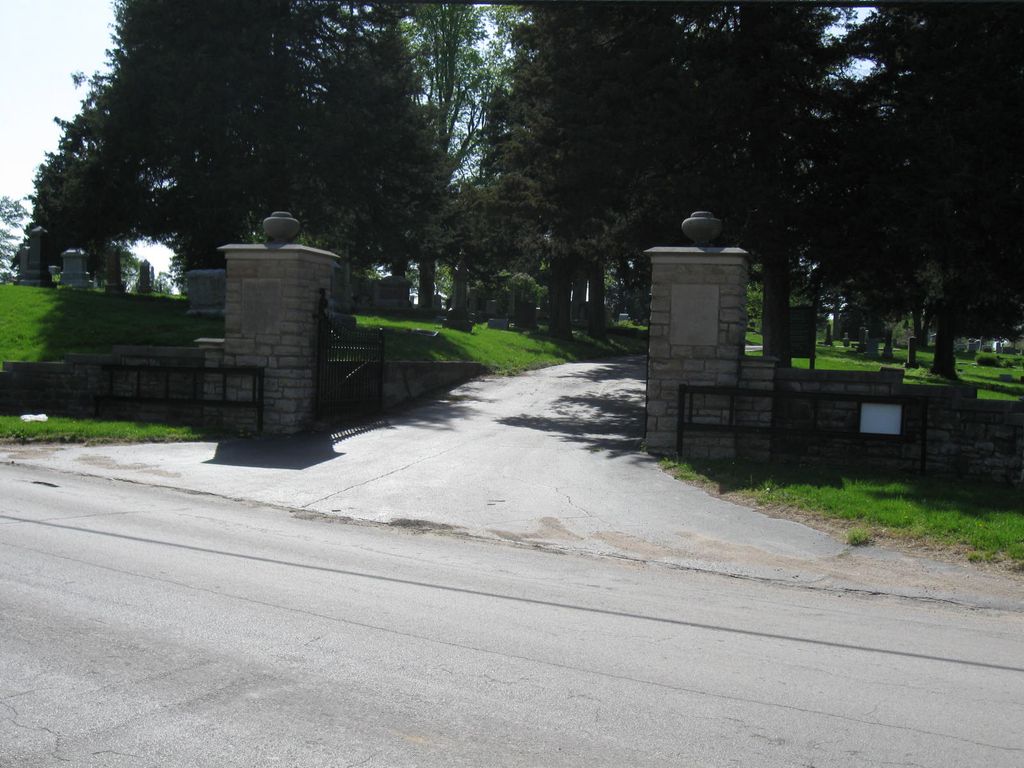
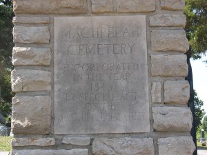
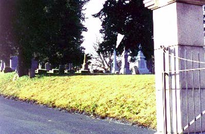
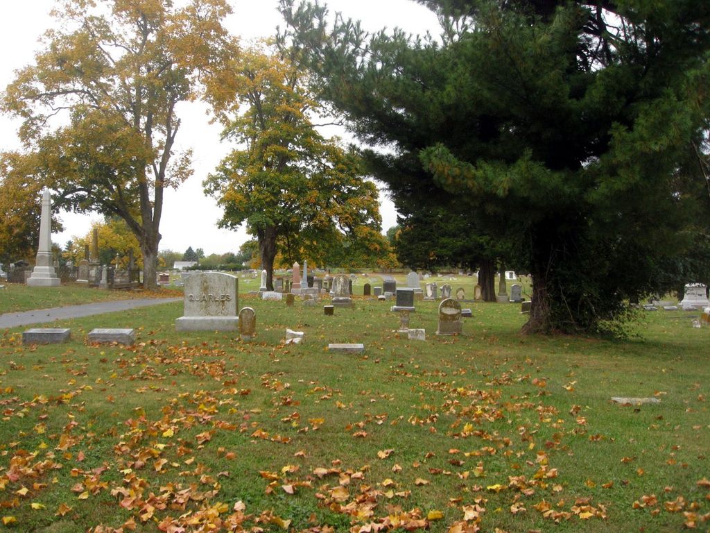
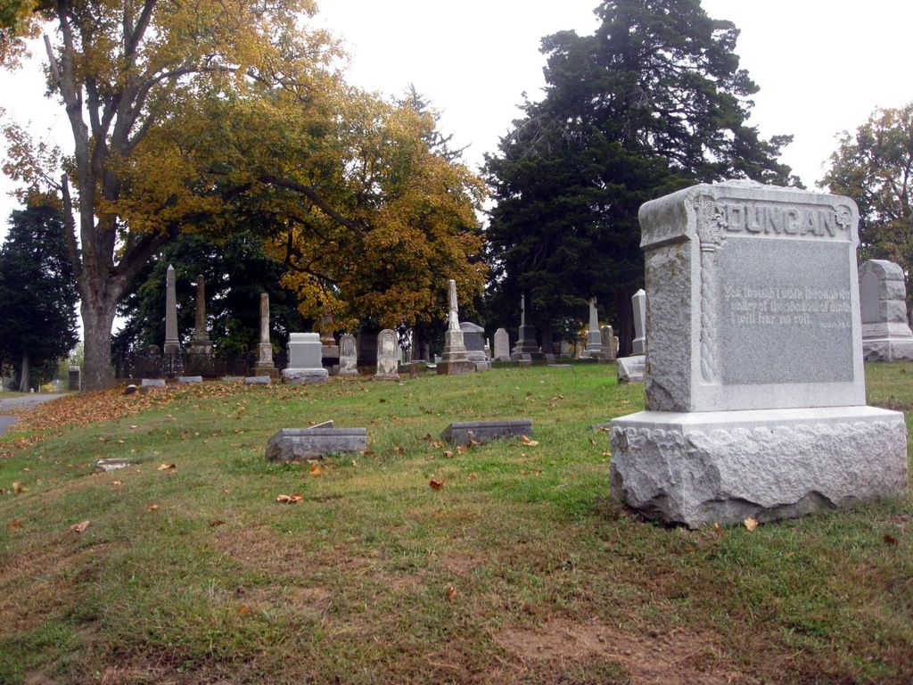
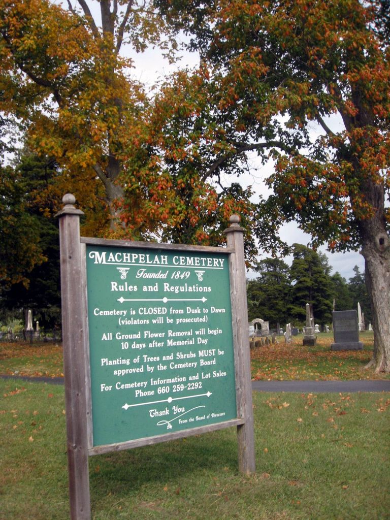
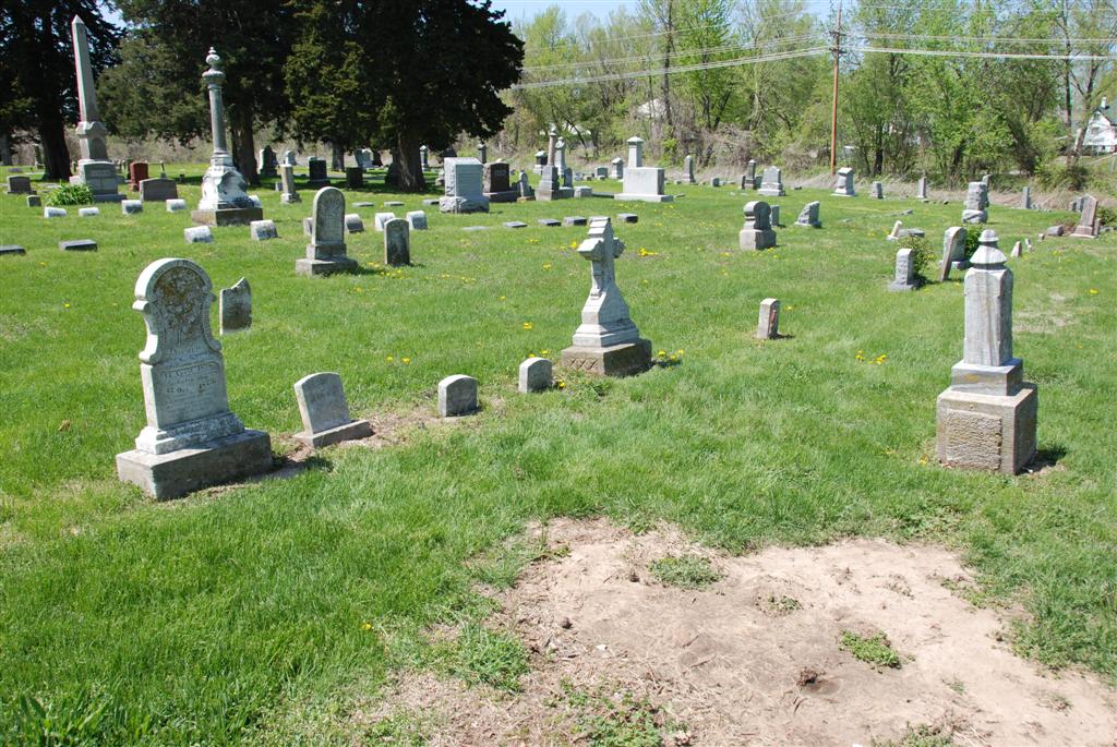
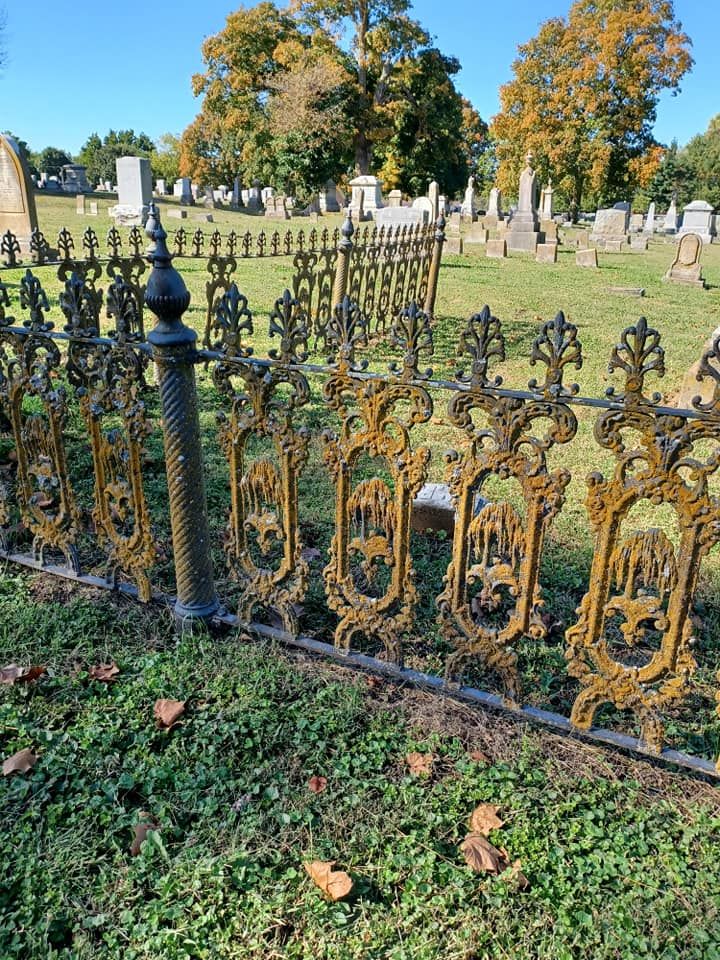
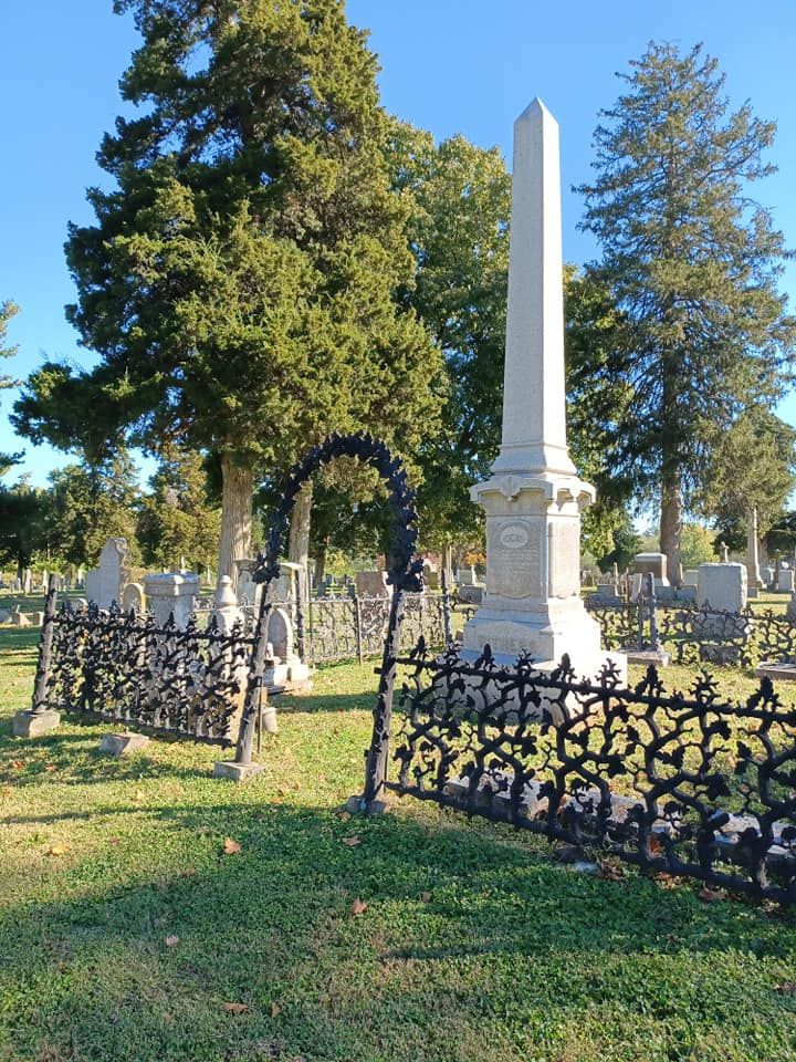
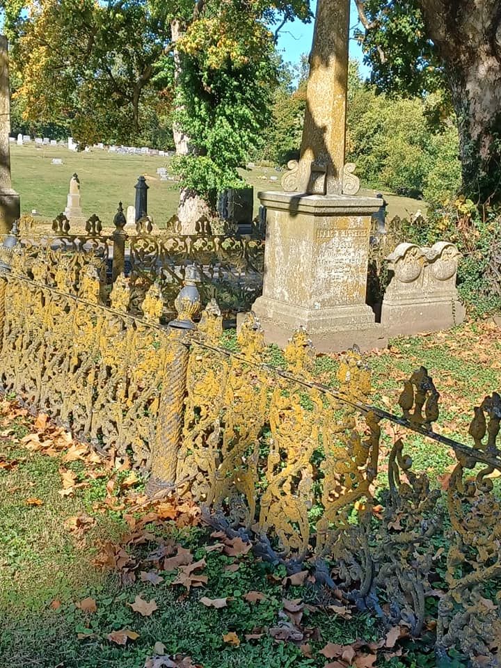
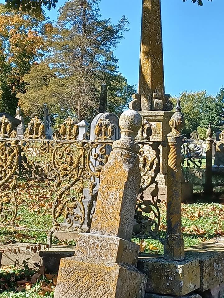
| Description | : | Machpelah Cemetery was originally known as the Waddell Family Cemetery. The first burial there was in 1839. In 1849, William Bradford Waddell donated his family’s cemetery, along with other nearby land, to form Machpelah. During the Civil War, many soldiers from both sides of the Battle of Lexington were buried at Machpelah. There is also a special memorial to the victims of the Saluda steamboat explosion of April 9, 1952. The Saluda carried Mormon immigrants from England and Wales who were travelling to Utah. Some of the bodies from that disaster are buried in a mass grave at the cemetery. Among... Read More |
frequently asked questions (FAQ):
-
Where is Machpelah Cemetery?
Machpelah Cemetery is located at Lexington, Lafayette County ,Missouri ,USA.
-
Machpelah Cemetery cemetery's updated grave count on graveviews.com?
56 memorials
-
Where are the coordinates of the Machpelah Cemetery?
Latitude: 39.1787400
Longitude: -93.8751300
Nearby Cemetories:
1. Memorial Park Cemetery
Lexington, Lafayette County, USA
Coordinate: 39.1771100, -93.8740900
2. Pioneer Mother Memorial
Lexington, Lafayette County, USA
Coordinate: 39.1865900, -93.8863200
3. Old Catholic Cemetery
Lexington, Lafayette County, USA
Coordinate: 39.1702100, -93.8863200
4. Lexington Memory Gardens
Lexington, Lafayette County, USA
Coordinate: 39.1857600, -93.8553400
5. Forest Grove Cemetery
Lexington, Lafayette County, USA
Coordinate: 39.2014008, -93.8638992
6. County Farm Cemetery
Lafayette County, USA
Coordinate: 39.1420420, -93.9402640
7. Mitchell Cemetery
Lafayette County, USA
Coordinate: 39.1293983, -93.9293976
8. Sunshine Cemetery
Richmond, Ray County, USA
Coordinate: 39.1611500, -93.9679000
9. Boggess Cemetery
Hardin, Ray County, USA
Coordinate: 39.2447200, -93.8205600
10. Prairie Church Cemetery
Higginsville, Lafayette County, USA
Coordinate: 39.1123480, -93.8138870
11. Slusher Cemetery
Lafayette County, USA
Coordinate: 39.1847000, -93.7572021
12. Cooper Cemetery
Richmond, Ray County, USA
Coordinate: 39.2248500, -93.9852400
13. King Cemetery
Richmond, Ray County, USA
Coordinate: 39.2400300, -93.9725100
14. Hardin Cemetery
Hardin, Ray County, USA
Coordinate: 39.2661018, -93.8181000
15. Murray-Anderson Cemetery
Richmond, Ray County, USA
Coordinate: 39.2631400, -93.9447100
16. Watkins Cemetery
Richmond, Ray County, USA
Coordinate: 39.2633018, -93.9449997
17. Mount Olivet Cemetery
Wellington, Lafayette County, USA
Coordinate: 39.1327400, -93.9903900
18. Wellington City Cemetery
Wellington, Lafayette County, USA
Coordinate: 39.1324806, -93.9907837
19. Frazier Cemetery
Camden, Ray County, USA
Coordinate: 39.2236100, -93.9936100
20. McGaugh-Dickey Cemetery
Richmond, Ray County, USA
Coordinate: 39.2742800, -93.9229200
21. Saint Lukes Evangelical Church Cemetery
Wellington, Lafayette County, USA
Coordinate: 39.1308200, -93.9926400
22. Cravens Cemetery
Camden, Ray County, USA
Coordinate: 39.2118988, -94.0014038
23. Martin-Carr Cemetery
Wellington, Lafayette County, USA
Coordinate: 39.1306000, -93.9978027
24. Whitmer Cemetery
Richmond, Ray County, USA
Coordinate: 39.2562485, -93.9740067