
| Memorials | : | 0 |
| Location | : | Huon Valley Council, Australia |
| Coordinate | : | -54.5294710, 158.9362030 |
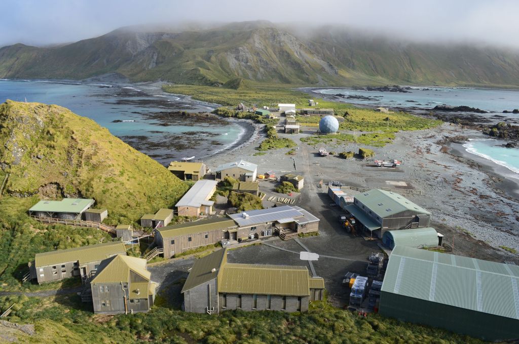
| Description | : | Macquarie Island is situated about 1,500 km south-south-east of Tasmania, half way between Tasmania and Antarctica at around 55 degrees south. The main island is approximately 34 kilometres long and 5.5 kilometres wide at its broadest point. The island is a Nature Reserve and World heritage Listed. |
frequently asked questions (FAQ):
-
Where is Macquarie Island?
Macquarie Island is located at Huon Valley Council ,Tasmania ,Australia.
-
Macquarie Island cemetery's updated grave count on graveviews.com?
0 memorials
-
Where are the coordinates of the Macquarie Island?
Latitude: -54.5294710
Longitude: 158.9362030
Nearby Cemetories:
1. Enderby Cemetery
New Zealand
Coordinate: -50.5441067, 166.2095198
2. Perseverance Harbour Burial Site
New Zealand
Coordinate: -52.5548042, 169.1342928