
| Memorials | : | 9 |
| Location | : | Derwood, Montgomery County, USA |
| Coordinate | : | 39.1682870, -77.1204598 |
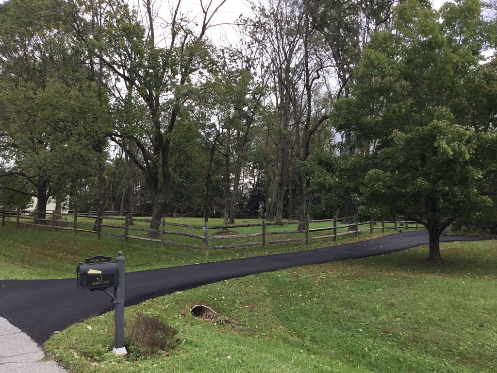
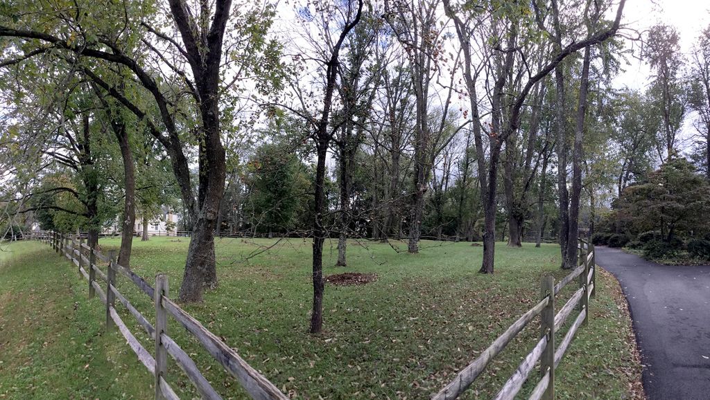
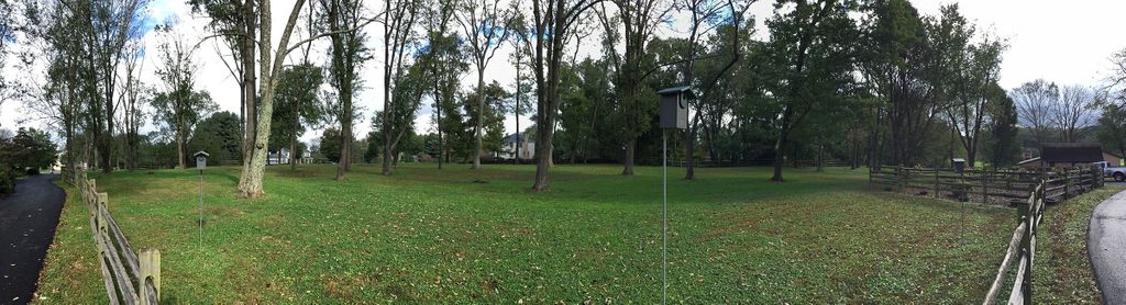
| Description | : | The Magruder Family Cemetery was originally located at the family plantation, "The Ridge" in Redwood (now called Derwood), Montgomery County, Maryland. The original house was circa 1755 and the cemetery was located in a lightly wooded lot 300' West of the house. The original property passed through family heirs and was eventually sold. Reserved from the sale in 1919 was the family burial grounds. It was promised that "no further interments will occur therein". At that time, it was noted that there originally was a slave cemetery on the same property. Originally, there were 30 to 40 family burials,... Read More |
frequently asked questions (FAQ):
-
Where is Magruder Family Cemetery-The Ridge?
Magruder Family Cemetery-The Ridge is located at 19000 Muncaster Road Derwood, Montgomery County ,Maryland ,USA.
-
Magruder Family Cemetery-The Ridge cemetery's updated grave count on graveviews.com?
9 memorials
-
Where are the coordinates of the Magruder Family Cemetery-The Ridge?
Latitude: 39.1682870
Longitude: -77.1204598
Nearby Cemetories:
1. Robinson-Duley Family Cemetery
Derwood, Montgomery County, USA
Coordinate: 39.1777329, -77.1210062
2. Bowie Family Cemetery
Olney, Montgomery County, USA
Coordinate: 39.1635300, -77.0941800
3. Mount Zion United Methodist Church Cemetery
Brookeville, Montgomery County, USA
Coordinate: 39.1849340, -77.1003130
4. Cooke Family Cemetery
Derwood, Montgomery County, USA
Coordinate: 39.1568700, -77.1460800
5. Case-Kemp-Fraley Family Cemetery
Redland, Montgomery County, USA
Coordinate: 39.1479170, -77.1455280
6. Flower Hill Church of the Brethren Cemetery
Gaithersburg, Montgomery County, USA
Coordinate: 39.1519200, -77.1522600
7. Gustavus Jones Family Cemetery
Brookeville, Montgomery County, USA
Coordinate: 39.1820510, -77.0852010
8. Waters Family Cemetery
Laytonsville, Montgomery County, USA
Coordinate: 39.1840262, -77.1573460
9. Owen Family Cemetery
Olney, Montgomery County, USA
Coordinate: 39.1362800, -77.0969200
10. Bowman-Merrick Family Cemetery
Laytonsville, Montgomery County, USA
Coordinate: 39.2059482, -77.1134704
11. Emory Grove United Methodist Church Cemetery
Gaithersburg, Montgomery County, USA
Coordinate: 39.1537600, -77.1681300
12. Emory Grove Cemetery Old
Emory Grove, Montgomery County, USA
Coordinate: 39.1489032, -77.1679060
13. John Hammond Riggs Family Cemetery
Brookeville, Montgomery County, USA
Coordinate: 39.1852430, -77.0707060
14. Saint Johns Episcopal Cemetery
Olney, Montgomery County, USA
Coordinate: 39.1547012, -77.0686035
15. Saint Lukes Lutheran Cemetery
Derwood, Montgomery County, USA
Coordinate: 39.1304800, -77.1494800
16. Waters Family Cemetery
Brookeville, Montgomery County, USA
Coordinate: 39.1675300, -77.0626500
17. Montgomery County Rural Family Cemetery
Brookeville, Montgomery County, USA
Coordinate: 39.1608330, -77.0611110
18. Laytonsville United Methodist Cemetery
Laytonsville, Montgomery County, USA
Coordinate: 39.2136000, -77.1430000
19. Salem United Methodist Church Cemetery
Brookeville, Montgomery County, USA
Coordinate: 39.1781006, -77.0578003
20. Owen Family Cemetery
Brookeville, Montgomery County, USA
Coordinate: 39.2057100, -77.0784200
21. Brooke Grove United Methodist Church Cemetery
Laytonsville, Montgomery County, USA
Coordinate: 39.2095800, -77.1576800
22. Riggs Family Cemetery
Brookeville, Montgomery County, USA
Coordinate: 39.1939460, -77.0635740
23. Hawlings River Chapel of Ease Cemetery
Laytonsville, Montgomery County, USA
Coordinate: 39.2183900, -77.1045800
24. Saffell Family Cemetery
Gaithersburg, Montgomery County, USA
Coordinate: 39.1540140, -77.1850030