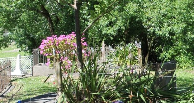
| Memorials | : | 2 |
| Location | : | Manutuke, Gisborne District, New Zealand |
| Coordinate | : | -38.6815360, 177.9080180 |
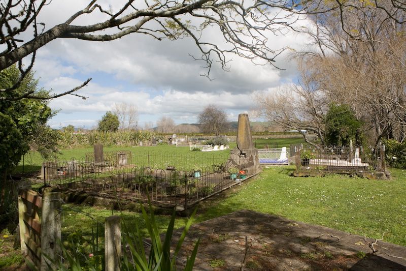
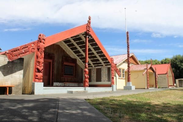
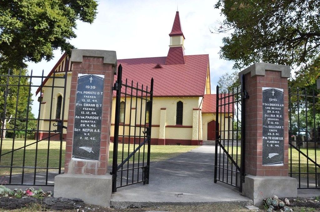
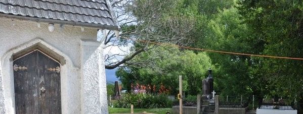
| Description | : | The Manutuke Urupa/Cemetery is located beside and behind the Toko Toru Tapu Church, which is adjacent to the Manutuke Marae. The Post Office is opposite the Marae. The driveway to the church and marae is at 73 Whakato Road, Manutuke and there is another driveway at 61 Whakato Road, Manutuke, that comes up to the far side of what seems to be an extension of the earlier urupa. The first Toko Toru Tapu Church was erected in 1840 and stood only a couple of years. The most recent build was in 1913 and the church was restored in 2015. It has... Read More |
frequently asked questions (FAQ):
-
Where is Manutuke Churchyard Urupā?
Manutuke Churchyard Urupā is located at 73 Whakato Road Manutuke, Gisborne District ,Gisborne , 4072New Zealand.
-
Manutuke Churchyard Urupā cemetery's updated grave count on graveviews.com?
2 memorials
-
Where are the coordinates of the Manutuke Churchyard Urupā?
Latitude: -38.6815360
Longitude: 177.9080180
Nearby Cemetories:
1. Manutuke Whakato Urupā
Manutuke, Gisborne District, New Zealand
Coordinate: -38.6843390, 177.9073690
2. Opou Station Cemetery
Manutuke, Gisborne District, New Zealand
Coordinate: -38.6779310, 177.9084450
3. Opou Tuarakena Cemetery
Manutuke, Gisborne District, New Zealand
Coordinate: -38.6744759, 177.9095277
4. Patutahi Cemetery
Gisborne, Gisborne District, New Zealand
Coordinate: -38.6199300, 177.8955600
5. Makaraka Cemetery
Gisborne, Gisborne District, New Zealand
Coordinate: -38.6482600, 177.9803200
6. Taruheru Cemetery
Gisborne, Gisborne District, New Zealand
Coordinate: -38.6428900, 177.9802300
7. Waerenga a hika Urupā
Gisborne, Gisborne District, New Zealand
Coordinate: -38.5954100, 177.9263500
8. Paramanihi Waihirere Cemetery
Gisborne, Gisborne District, New Zealand
Coordinate: -38.5791250, 177.9488450
9. Wainui
Gisborne District, New Zealand
Coordinate: -38.6950000, 178.0707400
10. Ormond Cemetery
Ormond, Gisborne District, New Zealand
Coordinate: -38.5526480, 177.9279330
11. Pouawa Urupā
Whangara, Gisborne District, New Zealand
Coordinate: -38.6085500, 178.1825900
12. Whangara Urupā
Whangara, Gisborne District, New Zealand
Coordinate: -38.5716800, 178.2310400
13. Nuhaka North Cemetery
Morere, Wairoa District, New Zealand
Coordinate: -38.9797100, 177.7944300
14. Tapuae o te Rangi Urupā
Whatatutu, Gisborne District, New Zealand
Coordinate: -38.3791200, 177.8134180
15. Rakauroa Cemetery
Matawai, Gisborne District, New Zealand
Coordinate: -38.4358900, 177.5711400
16. Arataiha Urupā
Nuhaka, Wairoa District, New Zealand
Coordinate: -39.0201020, 177.7361770
17. Opoutama Cemetery
Mahia, Wairoa District, New Zealand
Coordinate: -39.0550780, 177.8405420
18. Manawarakau Urupā
Nuhaka, Wairoa District, New Zealand
Coordinate: -39.0371870, 177.7262650
19. Nuhaka Public Cemetery
Nuhaka, Wairoa District, New Zealand
Coordinate: -39.0396540, 177.7267440
20. Whaanga Family Cemetery
Nuhaka, Wairoa District, New Zealand
Coordinate: -39.0402910, 177.7253800
21. Kaiuku Marae Urupā
Mahia, Wairoa District, New Zealand
Coordinate: -39.0823112, 177.9086516
22. Kaitamure Urupā
Nuhaka, Wairoa District, New Zealand
Coordinate: -39.0465570, 177.6809660
23. Kaiuku Marae Urupā
Mahia, Wairoa District, New Zealand
Coordinate: -39.0956100, 177.9460200
24. Kohimarama Urupā
Tolaga Bay, Gisborne District, New Zealand
Coordinate: -38.3791770, 178.3007610

