
| Memorials | : | 30 |
| Location | : | Dodge City, Ford County, USA |
| Phone | : | (620) 225-8140 |
| Coordinate | : | 37.7612410, -100.0507630 |
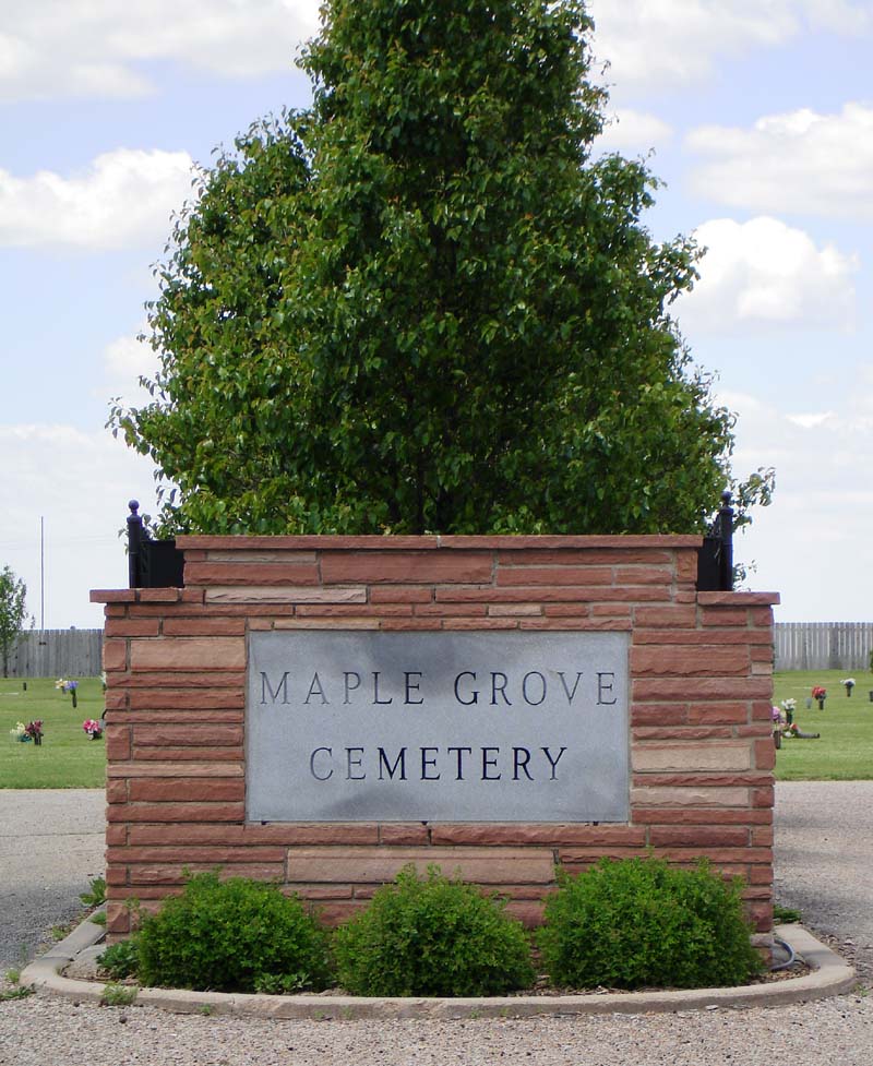
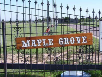
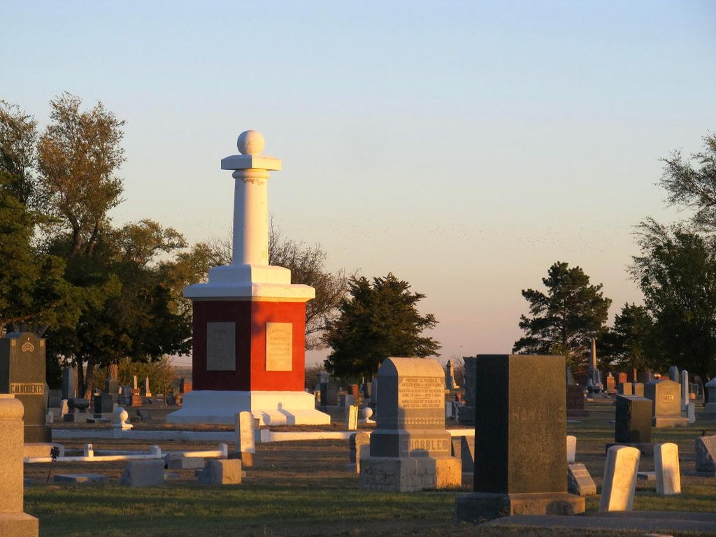
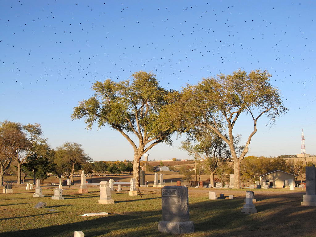
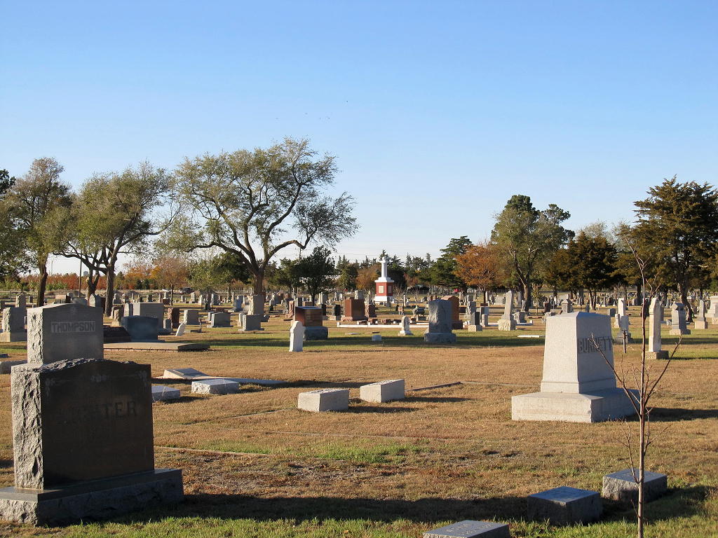
| Description | : | Maple Grove Cemetery is the city owned cemetery and Greencrest Memorial Gardens was previously a private cemetery. Management of this cemetery has been taken over by the city during the 1990's. Greencrest is on the west side of Matt Down Lane and is now referred to as Maple Grove West and the old Maple Grove is on the east side of Matt Down Lane. These cemeteries have been combined for the purposes of Findagrave. Please use the "add plot" to add location details to the memorials. Please do not use Maple Grove Cemetery for burials at the... Read More |
frequently asked questions (FAQ):
-
Where is Maple Grove Cemetery?
Maple Grove Cemetery is located at 1100 Matt Down Rd. Dodge City, Ford County ,Kansas , 67801USA.
-
Maple Grove Cemetery cemetery's updated grave count on graveviews.com?
29 memorials
-
Where are the coordinates of the Maple Grove Cemetery?
Latitude: 37.7612410
Longitude: -100.0507630
Nearby Cemetories:
1. Scroggins Mausoleum
Dodge City, Ford County, USA
Coordinate: 37.7403000, -100.0498200
2. Boot Hill Cemetery (Defunct)
Dodge City, Ford County, USA
Coordinate: 37.7544800, -100.0222800
3. Prairie Grove Cemetery (Defunct)
Dodge City, Ford County, USA
Coordinate: 37.7612600, -100.0129500
4. Kansas Veterans Cemetery at Fort Dodge
Dodge City, Ford County, USA
Coordinate: 37.7315903, -99.9314041
5. Amish Cemetery
Dodge City, Ford County, USA
Coordinate: 37.6639500, -100.0913300
6. Christ the King Cemetery
Ford County, USA
Coordinate: 37.6493073, -100.0056305
7. Pleasant Vale Cemetery
Ford County, USA
Coordinate: 37.7933006, -99.9047012
8. Ridenhour Cemetery
Ford County, USA
Coordinate: 37.8396988, -100.1716995
9. Saint Andrew Catholic Cemetery
Wright, Ford County, USA
Coordinate: 37.7790800, -99.8875100
10. Johnson Cemetery
Ensign, Gray County, USA
Coordinate: 37.7086010, -100.2156130
11. Concord Cemetery
Ford County, USA
Coordinate: 37.5910988, -100.1157990
12. Saint Michaels Cemetery
Hodgeman County, USA
Coordinate: 37.9421997, -100.1018982
13. Ensign Cemetery
Ensign, Gray County, USA
Coordinate: 37.6274986, -100.2339020
14. Warner Cemetery
Spearville, Ford County, USA
Coordinate: 37.9022100, -99.8633500
15. Pioneer Cemetery
Wright, Ford County, USA
Coordinate: 37.7783360, -99.7872570
16. Cimarron Cemetery
Cimarron, Gray County, USA
Coordinate: 37.8178200, -100.3411900
17. Cimarron Cemetery Foote Addition
Cimarron, Gray County, USA
Coordinate: 37.8265700, -100.3452900
18. Saint Johns Cemetery
Spearville, Ford County, USA
Coordinate: 37.8381004, -99.7536011
19. Silent Land Cemetery
Spearville, Ford County, USA
Coordinate: 37.8689003, -99.7530975
20. German Mission Schlichting Cemetery
Dodge City, Ford County, USA
Coordinate: 37.5030530, -100.0886890
21. Cave Cemetery
Gray County, USA
Coordinate: 37.5469017, -100.2518997
22. Ford Cemetery
Ford, Ford County, USA
Coordinate: 37.6319008, -99.7431030
23. Wilburn Cemetery
Fowler, Meade County, USA
Coordinate: 37.4742012, -100.1264038
24. Bloom Cemetery
Bloom, Ford County, USA
Coordinate: 37.4928017, -99.8966980