
| Memorials | : | 0 |
| Location | : | Marden, Maidstone Borough, England |
| Coordinate | : | 51.1882744, 0.4894070 |
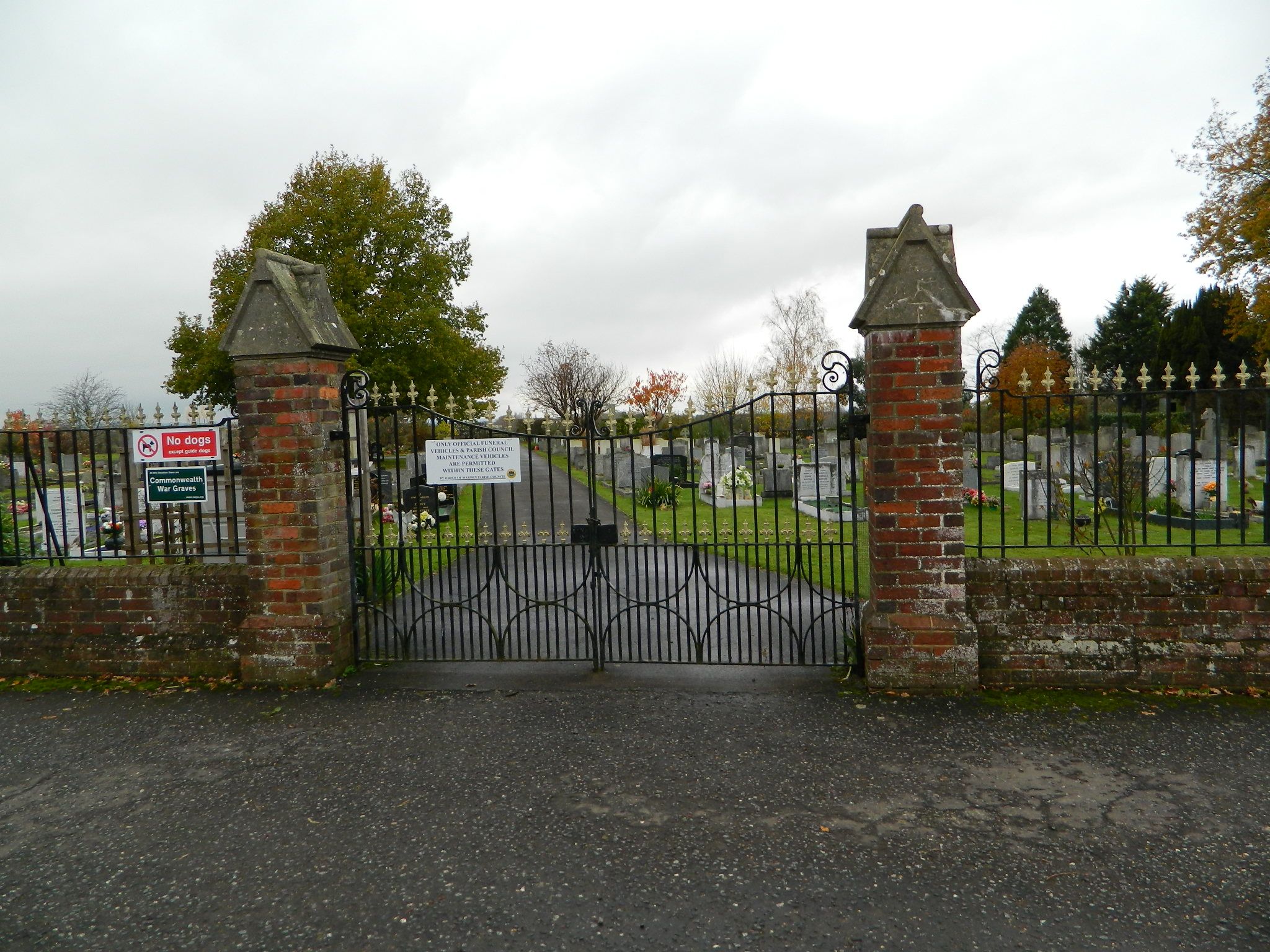
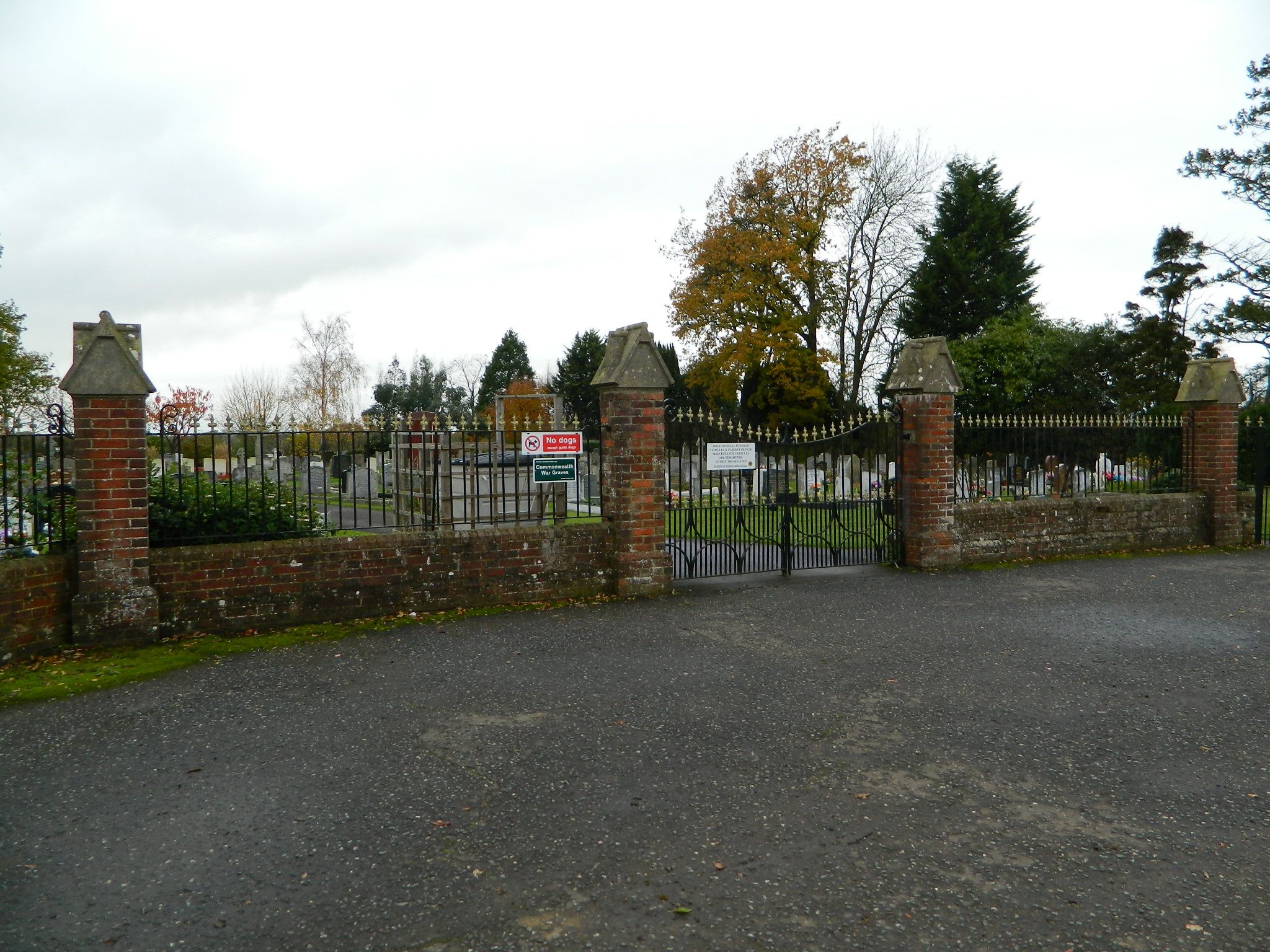
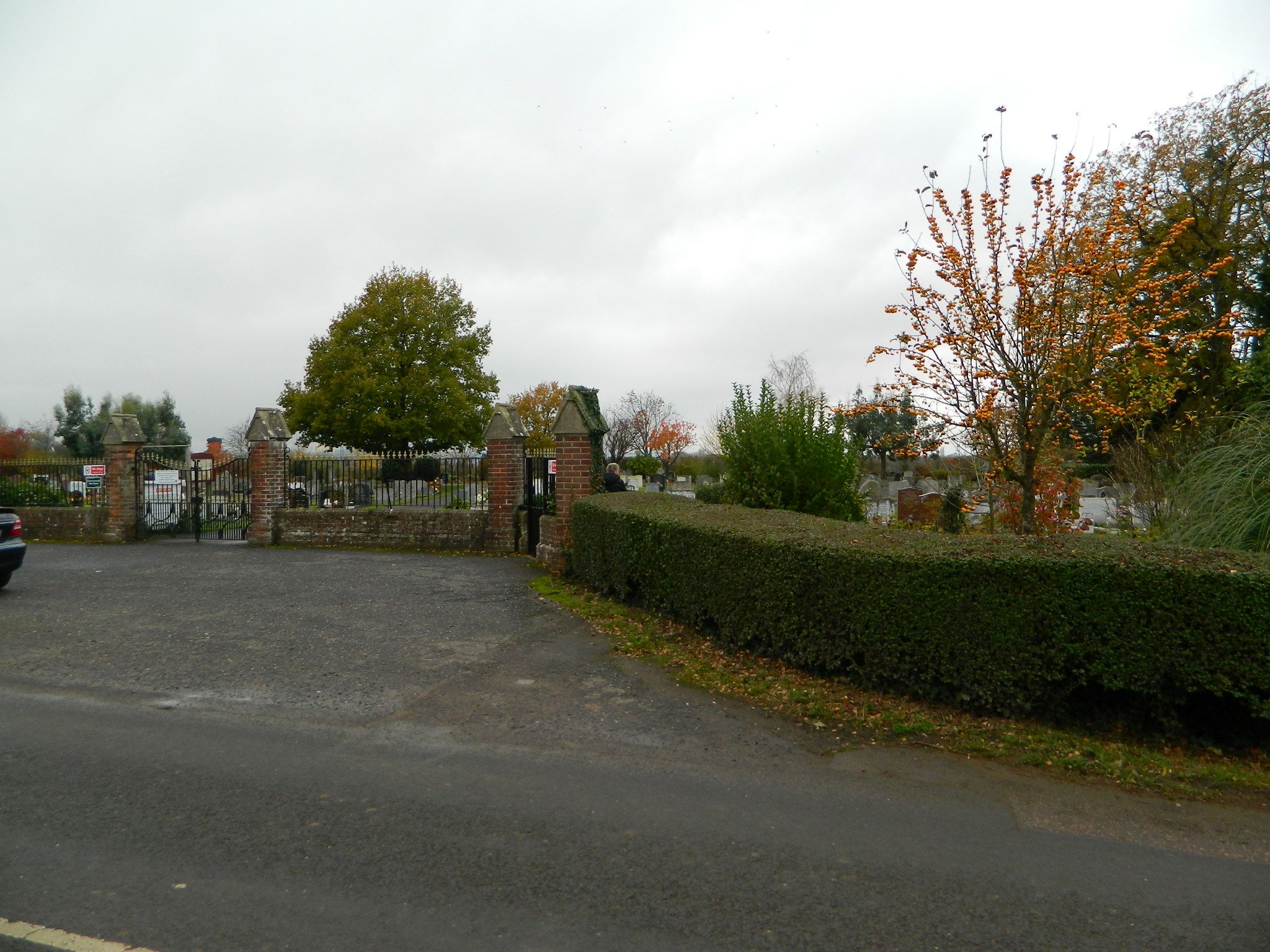
| Description | : | Marden is a parish and village lying 10 miles east-south-east of Tonbridge and about the same distance south of Maidstone. The cemetery, which was opened in 1937, is a mile north of the railway station on the main Maidstone road. The cemetery contains the graves of 1 sailor and 12 soldiers belonging to the forces of the United Kingdom and 1 airman making a total of 14 burials of the 1939-1945 War. Eleven of the soldiers were killed by a flying bomb on 3rd July, 1944, and rest in two large collective graves in the centre of the... Read More |
frequently asked questions (FAQ):
-
Where is Marden Cemetery?
Marden Cemetery is located at Marden, Maidstone Borough ,Kent ,England.
-
Marden Cemetery cemetery's updated grave count on graveviews.com?
0 memorials
-
Where are the coordinates of the Marden Cemetery?
Latitude: 51.1882744
Longitude: 0.4894070
Nearby Cemetories:
1. Marden Congregational Church
Marden, Maidstone Borough, England
Coordinate: 51.1745670, 0.4897280
2. St. Michael and All Angels Churchyard
Marden, Maidstone Borough, England
Coordinate: 51.1743202, 0.4931720
3. St. Margaret's Churchyard
Collier Street, Maidstone Borough, England
Coordinate: 51.1877010, 0.4555280
4. St. Mary's Churchyard
Hunton, Maidstone Borough, England
Coordinate: 51.2209290, 0.4676140
5. St Nicholas' Churchyard
Linton, Maidstone Borough, England
Coordinate: 51.2235230, 0.5109550
6. St. Peter's Churchyard
Boughton Monchelsea, Maidstone Borough, England
Coordinate: 51.2207560, 0.5348660
7. Marian Martyrs Memorial
Staplehurst, Maidstone Borough, England
Coordinate: 51.1649780, 0.5523900
8. All Saints Church
Staplehurst, Maidstone Borough, England
Coordinate: 51.1582160, 0.5527170
9. St Peter and St Paul Churchyard
Yalding, Maidstone Borough, England
Coordinate: 51.2245390, 0.4309730
10. All Saints Churchyard
Loose, Maidstone Borough, England
Coordinate: 51.2406640, 0.5159710
11. Paddock Wood New Cemetery
Paddock Wood, Tunbridge Wells Borough, England
Coordinate: 51.1761499, 0.3980419
12. St. Andrew's Old Churchyard
Paddock Wood, Tunbridge Wells Borough, England
Coordinate: 51.1799720, 0.3923060
13. St. Michael's Churchyard
Chart Sutton, Maidstone Borough, England
Coordinate: 51.2154120, 0.5821570
14. East Farleigh Parish Churchyard
East Farleigh, Maidstone Borough, England
Coordinate: 51.2526270, 0.4835740
15. All Saints Churchyard
Brenchley, Tunbridge Wells Borough, England
Coordinate: 51.1504200, 0.4001200
16. St Mary the Virgin Churchyard
Sutton Valence, Maidstone Borough, England
Coordinate: 51.2132540, 0.5897170
17. Sutton Valence War Memorial
Sutton Valence, Maidstone Borough, England
Coordinate: 51.2131810, 0.5911370
18. All Saints Churchyard
West Farleigh, Maidstone Borough, England
Coordinate: 51.2548540, 0.4570870
19. Maidstone Cemetery
Maidstone, Maidstone Borough, England
Coordinate: 51.2554700, 0.5323500
20. Tovil Anabaptist Burial Ground
Tovil, Maidstone Borough, England
Coordinate: 51.2602944, 0.5082881
21. St Peter and St Paul Churchyard
Teston, Maidstone Borough, England
Coordinate: 51.2551804, 0.4425540
22. Saint Mary the Virgin Churchyard
Nettlestead, Maidstone Borough, England
Coordinate: 51.2434040, 0.4127770
23. Holy Trinity Churchyard
East Peckham, Tonbridge and Malling Borough, England
Coordinate: 51.2172390, 0.3816010
24. Teston War Memorial
Teston, Maidstone Borough, England
Coordinate: 51.2550049, 0.4399090