| Memorials | : | 0 |
| Location | : | Palmyra, Marion County, USA |
| Coordinate | : | 39.7870710, -91.5351030 |
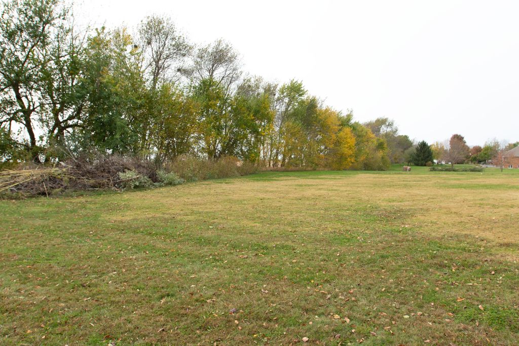
| Description | : | The County Cemetery was located behind the Marion County Infirmary (now the site of Maple Lawn Nursing Home) on the northwest side of Palmyra, along an east-west fencerow near the railroad tracks. Most burials, if not all, were unmarked or marked only with temporary markers that have been lost over the years, and some sources suggest the cemetery was treated somewhat like a mass burial site. Records of burials are sparse, and the total number of interments is unknown. On death certificates and other records, this cemetery was called various names including County Cemetery, Marion County Cemetery, Palmyra Cemetery, City Cemetery,... Read More |
frequently asked questions (FAQ):
-
Where is Marion County Infirmary Cemetery?
Marion County Infirmary Cemetery is located at Palmyra, Marion County ,Missouri , 63461USA.
-
Marion County Infirmary Cemetery cemetery's updated grave count on graveviews.com?
0 memorials
-
Where are the coordinates of the Marion County Infirmary Cemetery?
Latitude: 39.7870710
Longitude: -91.5351030
Nearby Cemetories:
1. Mission Hill Baptist Church Cemetery
Palmyra, Marion County, USA
Coordinate: 39.7778600, -91.5196400
2. Shropshire Cemetery
Marion County, USA
Coordinate: 39.7742500, -91.5201740
3. Greenwood Cemetery
Palmyra, Marion County, USA
Coordinate: 39.8100014, -91.5231018
4. Saint Joseph Cemetery
Palmyra, Marion County, USA
Coordinate: 39.8113600, -91.5228100
5. Massie Cemetery
Palmyra, Marion County, USA
Coordinate: 39.8176000, -91.5167600
6. Bates-Gash Cemetery
Gash Settlement, Marion County, USA
Coordinate: 39.7569600, -91.5095800
7. Carman Cemetery
Palmyra, Marion County, USA
Coordinate: 39.8038120, -91.5886580
8. Armstrong Cemetery
Hannibal, Marion County, USA
Coordinate: 39.7881012, -91.4768982
9. Cobb Cemetery
Marion County, USA
Coordinate: 39.8161011, -91.4888992
10. McPike Family Cemetery
Palmyra, Marion County, USA
Coordinate: 39.8291020, -91.5862060
11. Barkley Cemetery
Hannibal, Marion County, USA
Coordinate: 39.7355995, -91.4981003
12. Kempf Family Cemetery
Marion County, USA
Coordinate: 39.8474006, -91.5273934
13. Pleasant Hill Cemetery
Woodland, Marion County, USA
Coordinate: 39.7534200, -91.6029800
14. Kaiser Cemetery
Marion County, USA
Coordinate: 39.7769012, -91.4546967
15. Thrasher Chapel Cemetery
Marion County, USA
Coordinate: 39.7728004, -91.4531021
16. Pennewell Cemetery
Marion County, USA
Coordinate: 39.7924995, -91.4443970
17. Baskett Cemetery
Marion County, USA
Coordinate: 39.7724991, -91.4452972
18. McWilliams Cemetery
Marion County, USA
Coordinate: 39.7524986, -91.4542007
19. Bush Cemetery
Marion County, USA
Coordinate: 39.7486000, -91.4486008
20. Pleasant Grove Cemetery
Marion County, USA
Coordinate: 39.8368988, -91.6113968
21. Whaley Cemetery
Marion County, USA
Coordinate: 39.7569008, -91.4405975
22. West Ely Cemetery
West Ely, Marion County, USA
Coordinate: 39.7106018, -91.5655975
23. Hendren Family Cemetery
Marion County, USA
Coordinate: 39.7498000, -91.4408800
24. Baker Cemetery
Withers Mill, Marion County, USA
Coordinate: 39.7124200, -91.4912600

