
| Memorials | : | 0 |
| Location | : | Grand Cane, DeSoto Parish, USA |
| Phone | : | 318-858-3292 |
| Coordinate | : | 32.0644000, -93.7782500 |
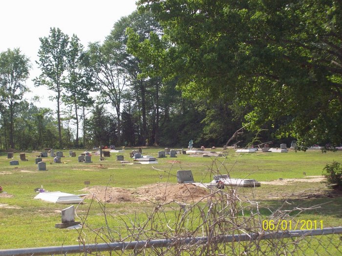
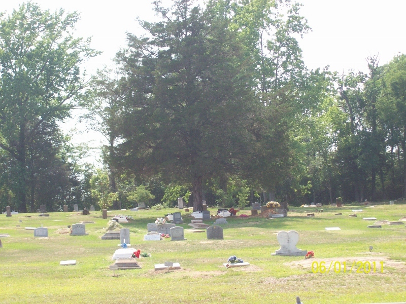
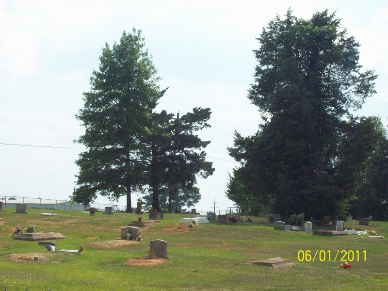
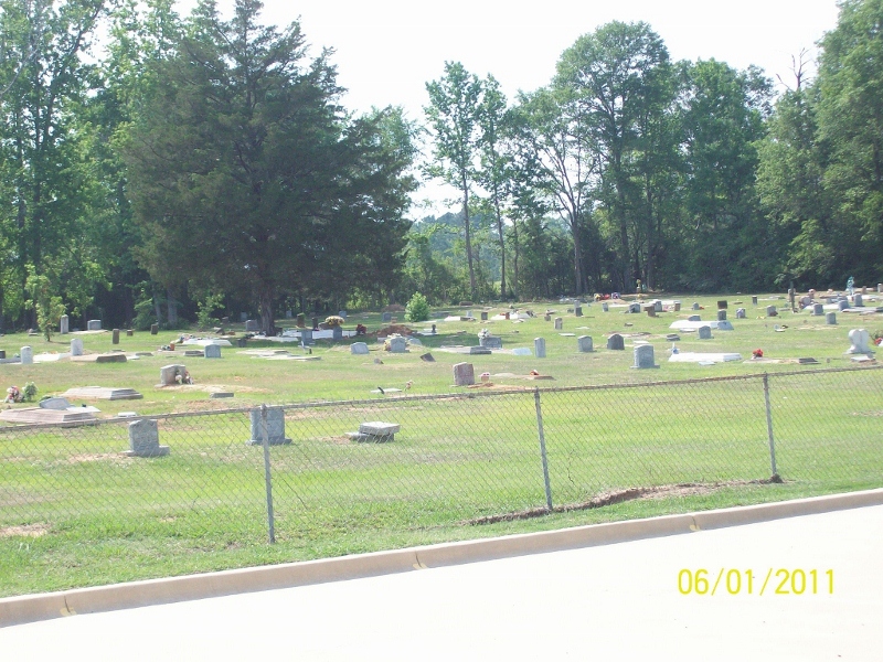
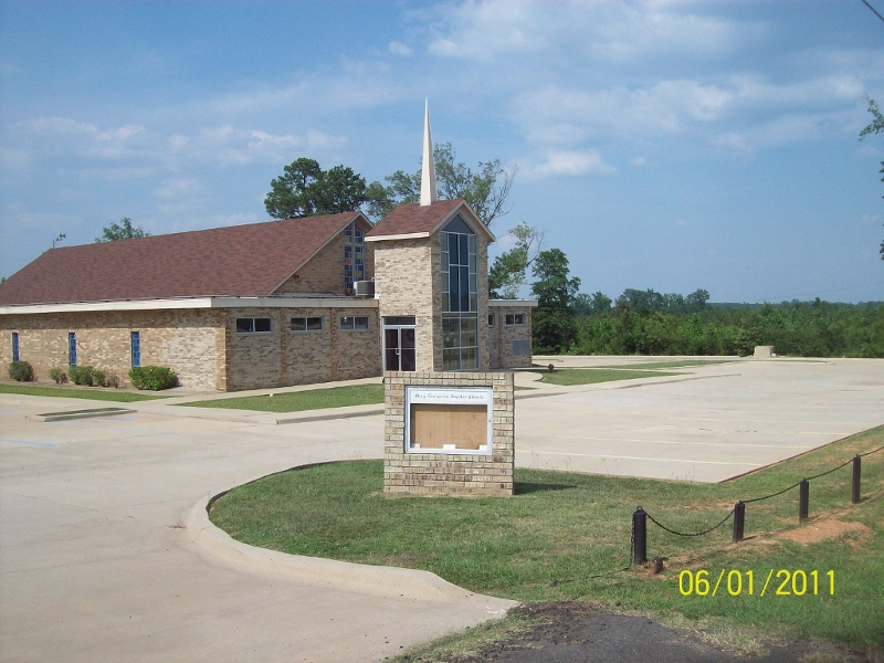
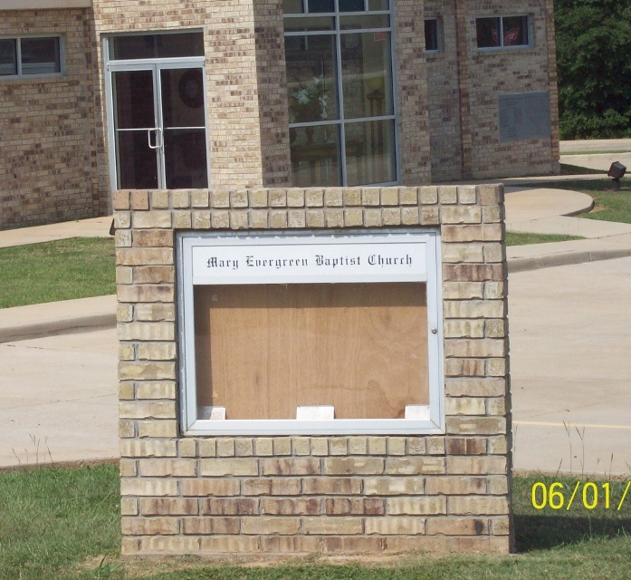
| Description | : | The cemetery is on the west side of the church. It has a fence around it, but no visible sign. There is a sign in front of the church. The earliest death date found was 1907 and the cemetery is still active and is well maintained |
frequently asked questions (FAQ):
-
Where is Mary Evergreen Baptist Church Cemetery?
Mary Evergreen Baptist Church Cemetery is located at 9677 Highway 171 Grand Cane, DeSoto Parish ,Louisiana , 71032USA.
-
Mary Evergreen Baptist Church Cemetery cemetery's updated grave count on graveviews.com?
0 memorials
-
Where are the coordinates of the Mary Evergreen Baptist Church Cemetery?
Latitude: 32.0644000
Longitude: -93.7782500
Nearby Cemetories:
1. Grand Cane Cemetery
Grand Cane, DeSoto Parish, USA
Coordinate: 32.0756836, -93.7997665
2. Zion Hill Cemetery
Grand Cane, DeSoto Parish, USA
Coordinate: 32.0962000, -93.7731000
3. Friendship Baptist Church Cemetery
Grand Cane, DeSoto Parish, USA
Coordinate: 32.0427800, -93.8180600
4. Friendship Cemetery
Grand Cane, DeSoto Parish, USA
Coordinate: 32.0503006, -93.8244019
5. Frazier Cemetery
Mansfield, DeSoto Parish, USA
Coordinate: 32.0263420, -93.7532900
6. Old Zion Baptist Church Cemetery
Grand Cane, DeSoto Parish, USA
Coordinate: 32.0849000, -93.8415000
7. Saint Elizabeth Cemetery
Grand Cane, DeSoto Parish, USA
Coordinate: 32.1035000, -93.7222000
8. Cook Cemetery
Grand Cane, DeSoto Parish, USA
Coordinate: 32.0127983, -93.8242035
9. Morning Glory Baptist Church Cemetery
Mansfield, DeSoto Parish, USA
Coordinate: 31.9988900, -93.7733300
10. Mansfield Cemetery
Mansfield, DeSoto Parish, USA
Coordinate: 32.0406000, -93.7058000
11. Henry Coleman Thweatt Burial Site
Mansfield, DeSoto Parish, USA
Coordinate: 32.0366430, -93.7064750
12. Moore's Chapel Cemetery
Mansfield, DeSoto Parish, USA
Coordinate: 32.0125000, -93.7205000
13. First Community Church Cemetery
Mansfield, DeSoto Parish, USA
Coordinate: 32.0151200, -93.7127000
14. Union Cemetery
Mansfield, DeSoto Parish, USA
Coordinate: 32.0337000, -93.6971400
15. Benevolent Cemetery
Mansfield, DeSoto Parish, USA
Coordinate: 32.0274000, -93.7002000
16. Hazelwood Cemetery
Grand Cane, DeSoto Parish, USA
Coordinate: 32.1403000, -93.7869000
17. New Morning Glory Baptist Temple Church Cemetery
Mansfield, DeSoto Parish, USA
Coordinate: 31.9856100, -93.7637600
18. Highland Cemetery
Mansfield, DeSoto Parish, USA
Coordinate: 32.0302000, -93.6932000
19. New Bethlehem Cemetery
Grand Cane, DeSoto Parish, USA
Coordinate: 32.1501300, -93.7977200
20. Creswell Cemetery
Mansfield, DeSoto Parish, USA
Coordinate: 32.0471992, -93.6750031
21. Stephenson Cemetery
South Mansfield, DeSoto Parish, USA
Coordinate: 31.9806000, -93.7243600
22. Smyrna Cemetery
Grand Cane, DeSoto Parish, USA
Coordinate: 32.0917400, -93.8884700
23. Prude Cemetery
Stanley, DeSoto Parish, USA
Coordinate: 31.9772600, -93.8348000
24. Union Cemetery
Longstreet, DeSoto Parish, USA
Coordinate: 32.0808000, -93.8942000