
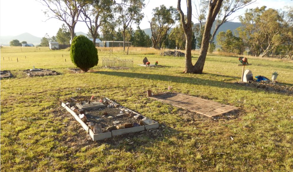
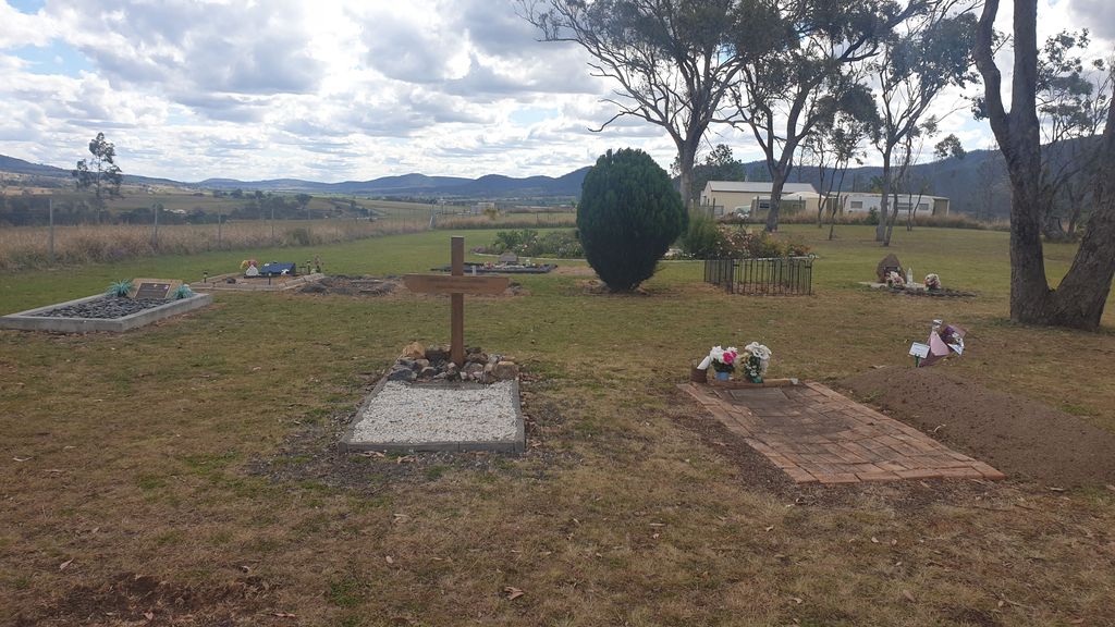
| Memorials | : | 19 |
| Location | : | Maryvale, Southern Downs Region, Australia |
| Coordinate | : | -28.0607800, 152.2474610 |
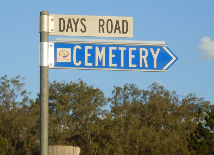
| Description | : | Established in 1914, located 33km from Warwick. Travel along the National Highway 15 (Cunningham Highway towards Brisbane) until you find Days Road on your right. Follow the signs. You can take the scenic country drive (which takes in residential and farming countryside with rolling hills) via Freestone Road out of Warwick which will lead to the Cunningham Highway. Turn right towards Days Road. This journey is 32km. |
frequently asked questions (FAQ):
-
Where is Maryvale Cemetery?
Maryvale Cemetery is located at Days Road Maryvale, Southern Downs Region ,Queensland , 4370Australia.
-
Maryvale Cemetery cemetery's updated grave count on graveviews.com?
19 memorials
-
Where are the coordinates of the Maryvale Cemetery?
Latitude: -28.0607800
Longitude: 152.2474610
Nearby Cemetories:
1. Maryvale Homestead Cemetery
Warwick, Southern Downs Region, Australia
Coordinate: -28.0669430, 152.2405230
2. Yangan Presbyterian Church Cemetery
Yangan, Southern Downs Region, Australia
Coordinate: -28.1972310, 152.2142130
3. Yangan General and Anglican Cemetery
Emu Vale, Southern Downs Region, Australia
Coordinate: -28.2059990, 152.2207110
4. Spicers Gap
Boonah, Scenic Rim Region, Australia
Coordinate: -28.0733318, 152.4255524
5. Swan Creek Anglican Cemetery
Swan Creek, Southern Downs Region, Australia
Coordinate: -28.1974400, 152.1364830
6. Glengallan Station
Warwick, Southern Downs Region, Australia
Coordinate: -28.1027016, 152.0585067
7. Warwick-Conway Family Homestead Cemetery
Warwick, Southern Downs Region, Australia
Coordinate: -28.1258400, 152.0395700
8. St Marks Anglican Church Columbarium Wall
Warwick, Southern Downs Region, Australia
Coordinate: -28.2161000, 152.0347600
9. Allora Cemetery
Allora, Southern Downs Region, Australia
Coordinate: -28.0199230, 151.9750720
10. Warwick General Cemetery
Warwick, Southern Downs Region, Australia
Coordinate: -28.2100890, 152.0044080
11. Warwick War Cemetery
Warwick, Southern Downs Region, Australia
Coordinate: -28.2089620, 152.0033530
12. Warwick General Lawn Cemetery
Warwick, Southern Downs Region, Australia
Coordinate: -28.2106310, 152.0039087
13. Headington Hill Lutheran Cemetery
Allora, Southern Downs Region, Australia
Coordinate: -27.9037210, 152.0020290
14. Eden Gardens Memorial Park
Warwick, Southern Downs Region, Australia
Coordinate: -28.2229690, 152.0031130
15. Aratula Lutheran Cemetery
Aratula, Scenic Rim Region, Australia
Coordinate: -27.9813240, 152.5425210
16. Rosevale Lutheran Cemetery
Rosevale, Scenic Rim Region, Australia
Coordinate: -27.8644230, 152.4758150
17. Old Kerwitz Property
Rosevale, Scenic Rim Region, Australia
Coordinate: -27.8641190, 152.4761580
18. Rosevale Church of Christ Cemetery
Rosevale, Scenic Rim Region, Australia
Coordinate: -27.8708920, 152.4900461
19. Killarney Lawn Cemetery
Killarney, Southern Downs Region, Australia
Coordinate: -28.3475760, 152.2742790
20. Lone Grave Warwick
Warwick, Southern Downs Region, Australia
Coordinate: -28.2316590, 151.9833180
21. Mount Alford Church Cemetery
Mount Alford, Scenic Rim Region, Australia
Coordinate: -28.0656790, 152.5952250
22. Fassifern Pioneer Cemetery
Fassifern Valley, Scenic Rim Region, Australia
Coordinate: -27.9568800, 152.5816230
23. St. Stephen's Church of England Cemetery
Rosevale, Scenic Rim Region, Australia
Coordinate: -27.8492955, 152.5104143
24. Clifton General Cemetery
Clifton, Toowoomba Region, Australia
Coordinate: -27.9389150, 151.9120790