
| Memorials | : | 63 |
| Location | : | Lebanon, Monroe County, USA |
| Coordinate | : | 39.6122017, -81.2750015 |
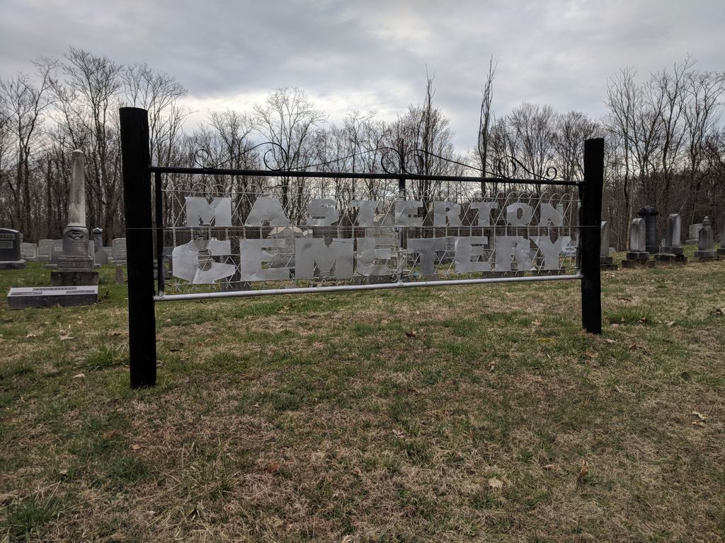
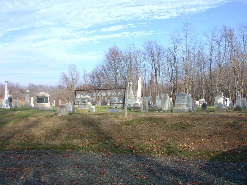
| Description | : | The cemetery is located on the east side of County Road 15 about 0.3 miles south of its intersection with Ohio State Route 565.. The cemetery is located in Adams Township, Monroe County, Ohio, and is # 8047 (Lebanon Cemetery / New Masterton Cemetery / Masterton Cemetery) in “Ohio Cemeteries 1803-2003”, compiled by the Ohio Genealogical Society. The U.S. Geological Survey (USGS) Geographic Names Information System (GNIS) feature ID for the cemetery is 1076348 (Masterton Cemetery / Lebanon Cemetery / New Masterton Cemetery). |
frequently asked questions (FAQ):
-
Where is Masterton Cemetery?
Masterton Cemetery is located at County Road 15 Lebanon, Monroe County ,Ohio , 45745USA.
-
Masterton Cemetery cemetery's updated grave count on graveviews.com?
62 memorials
-
Where are the coordinates of the Masterton Cemetery?
Latitude: 39.6122017
Longitude: -81.2750015

Nearby Cemetories:
1. Masterson Cemetery
Washington County, USA
Coordinate: 39.6124350, -81.2758580
2. Old Masterton Cemetery
Bethel Township, Monroe County, USA
Coordinate: 39.6099330, -81.2795220
3. Adams Cemetery
Lebanon, Monroe County, USA
Coordinate: 39.6203300, -81.2480200
4. Liberty Cemetery
Lebanon, Monroe County, USA
Coordinate: 39.5911767, -81.2645550
5. Liberty EUB Church Cemetery
Dalzell, Washington County, USA
Coordinate: 39.5910187, -81.2644730
6. Upper Paw Paw Cemetery
Germantown, Washington County, USA
Coordinate: 39.5921910, -81.2975280
7. Zion Cemetery
Elk Township, Noble County, USA
Coordinate: 39.6282400, -81.3028400
8. Zion Cemetery
Elk Township, Noble County, USA
Coordinate: 39.6355800, -81.2990900
9. Saint Henrys Catholic Cemetery
Noble County, USA
Coordinate: 39.6357040, -81.2991290
10. Zion German Lutheran Cemetery
Elk, Noble County, USA
Coordinate: 39.6248640, -81.3124500
11. Holzschuh Family Cemetery
Elk, Noble County, USA
Coordinate: 39.5989500, -81.3166000
12. McVay Cemetery
Sycamore Valley, Monroe County, USA
Coordinate: 39.6444016, -81.2427979
13. Mount Hope Cemetery
Monroe County, USA
Coordinate: 39.6217384, -81.2184448
14. Miller Cemetery
Marr, Monroe County, USA
Coordinate: 39.6400000, -81.2272680
15. Hopewell Cemetery
Lebanon, Monroe County, USA
Coordinate: 39.5811844, -81.2267761
16. Parks Cemetery
Marr, Monroe County, USA
Coordinate: 39.6611500, -81.2681900
17. Creighton Ridge Church of Christ Cemetery
Marr, Monroe County, USA
Coordinate: 39.6629320, -81.2612340
18. Harriettsville Cemetery
Noble County, USA
Coordinate: 39.6319008, -81.3379974
19. Dalzell Church Cemetery
Dalzell, Washington County, USA
Coordinate: 39.5639992, -81.3050003
20. Koon Cemetery
Germantown, Washington County, USA
Coordinate: 39.5718231, -81.3277512
21. Smith Cemetery
Rinard Mills, Monroe County, USA
Coordinate: 39.6081291, -81.2001120
22. Road Fork Cemetery
Noble County, USA
Coordinate: 39.6683040, -81.3139180
23. Merrill Ridge Cemetery
Monroe County, USA
Coordinate: 39.6009064, -81.1931686
24. Hercher Cemetery
Monroe County, USA
Coordinate: 39.6702995, -81.2397003