
| Memorials | : | 0 |
| Location | : | Elk Township, Noble County, USA |
| Coordinate | : | 39.6282400, -81.3028400 |
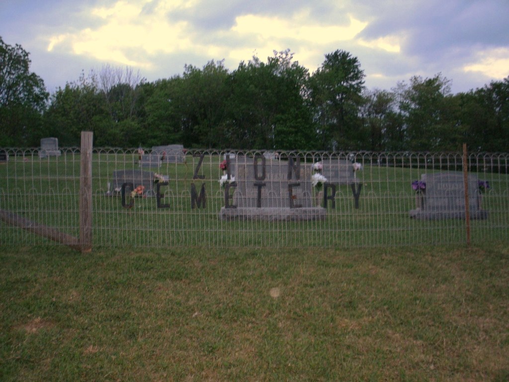
| Description | : | The cemetery is located on the north side of Parks Hill / Old Church Road (Township Road 252) about 0.6 miles south of its intersection with Ohio State Route 565. The cemetery is located in Elk Township, Noble County, Ohio, and is # 9037 (New Zion Evangelical and Reformed Cemetery / Zion Cemetery) in “Ohio Cemeteries 1803-2003”, compiled by the Ohio Genealogical Society. The U.S. Geological Survey (USGS) Geographic Names Information System (GNIS) feature ID for the cemetery is 1077251 (Zion Cemetery). The cemetery is listed as cemetery 10 (Zion Evangelical Cemetery) in Noble County, Ohio Cemetery Inscriptions... Read More |
frequently asked questions (FAQ):
-
Where is Zion Cemetery?
Zion Cemetery is located at Parks Hill / Old Church Road (Township Road 252) Elk Township, Noble County ,Ohio , 45745USA.
-
Zion Cemetery cemetery's updated grave count on graveviews.com?
0 memorials
-
Where are the coordinates of the Zion Cemetery?
Latitude: 39.6282400
Longitude: -81.3028400
Nearby Cemetories:
1. Zion Cemetery
Elk Township, Noble County, USA
Coordinate: 39.6355800, -81.2990900
2. Saint Henrys Catholic Cemetery
Noble County, USA
Coordinate: 39.6357040, -81.2991290
3. Zion German Lutheran Cemetery
Elk, Noble County, USA
Coordinate: 39.6248640, -81.3124500
4. Old Masterton Cemetery
Bethel Township, Monroe County, USA
Coordinate: 39.6099330, -81.2795220
5. Masterson Cemetery
Washington County, USA
Coordinate: 39.6124350, -81.2758580
6. Masterton Cemetery
Lebanon, Monroe County, USA
Coordinate: 39.6122017, -81.2750015
7. Harriettsville Cemetery
Noble County, USA
Coordinate: 39.6319008, -81.3379974
8. Holzschuh Family Cemetery
Elk, Noble County, USA
Coordinate: 39.5989500, -81.3166000
9. Upper Paw Paw Cemetery
Germantown, Washington County, USA
Coordinate: 39.5921910, -81.2975280
10. Road Fork Cemetery
Noble County, USA
Coordinate: 39.6683040, -81.3139180
11. Parks Cemetery
Marr, Monroe County, USA
Coordinate: 39.6611500, -81.2681900
12. Adams Cemetery
Lebanon, Monroe County, USA
Coordinate: 39.6203300, -81.2480200
13. Stewart Cemetery
Noble County, USA
Coordinate: 39.6699982, -81.3244019
14. Creighton Ridge Church of Christ Cemetery
Marr, Monroe County, USA
Coordinate: 39.6629320, -81.2612340
15. Liberty Cemetery
Lebanon, Monroe County, USA
Coordinate: 39.5911767, -81.2645550
16. Liberty EUB Church Cemetery
Dalzell, Washington County, USA
Coordinate: 39.5910187, -81.2644730
17. McVay Cemetery
Sycamore Valley, Monroe County, USA
Coordinate: 39.6444016, -81.2427979
18. Morris Cemetery
Harriettsville, Noble County, USA
Coordinate: 39.6325460, -81.3672150
19. Huffman-Wade Cemetery
Harriettsville, Noble County, USA
Coordinate: 39.6507940, -81.3660280
20. Stephens Cemetery
Harriettsville, Noble County, USA
Coordinate: 39.6141170, -81.3736270
21. Vance Cemetery
Harriettsville, Noble County, USA
Coordinate: 39.6855760, -81.2877440
22. Miller Cemetery
Marr, Monroe County, USA
Coordinate: 39.6400000, -81.2272680
23. Koon Cemetery
Germantown, Washington County, USA
Coordinate: 39.5718231, -81.3277512
24. Dalzell Church Cemetery
Dalzell, Washington County, USA
Coordinate: 39.5639992, -81.3050003