| Memorials | : | 0 |
| Location | : | Coopers, Baldwin County, USA |
| Coordinate | : | 32.9664700, -83.2933100 |
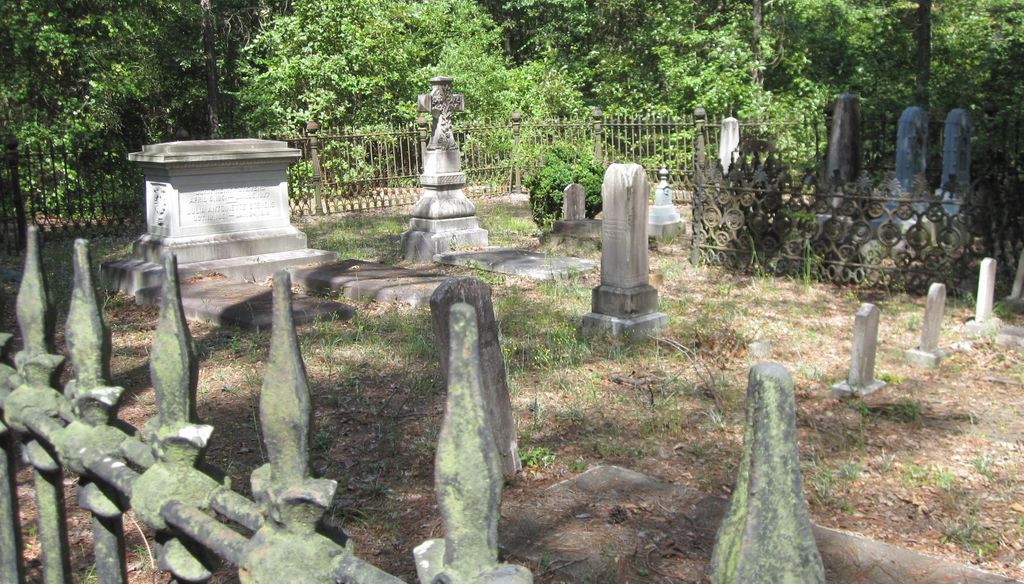
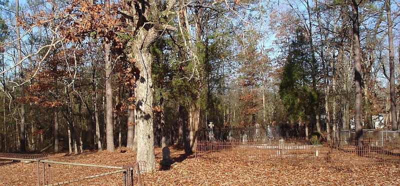
| Description | : | At the intersection of US-441 and GA-243, travel south southwest on GA-243 for 5.1 miles. Turn right on J F Hall Road and travel west for 2.5 miles turning left onto dirt road located at GSP coordinates 32.967369 and -83.293161. Travel south on dirt road for 120 yards, cemetery on your right. As of Sep 2012, all headstones, markers, and monuments have been photographed. At that time there were, at a minimum, 15 unmarked graves by either a slab, field stone, or sunken ground and one additional grave unreadable. |
frequently asked questions (FAQ):
-
Where is Matilda Chapel Church Cemetery?
Matilda Chapel Church Cemetery is located at Coopers, Baldwin County ,Georgia ,USA.
-
Matilda Chapel Church Cemetery cemetery's updated grave count on graveviews.com?
0 memorials
-
Where are the coordinates of the Matilda Chapel Church Cemetery?
Latitude: 32.9664700
Longitude: -83.2933100
Nearby Cemetories:
1. Scott's Chapel CME Church Cemetery
Coopers, Baldwin County, USA
Coordinate: 32.9716400, -83.2834300
2. Cooperville Baptist Church Cemetery
Coopers, Baldwin County, USA
Coordinate: 32.9796400, -83.2905300
3. Batson Family Cemetery
Coopers, Baldwin County, USA
Coordinate: 32.9864700, -83.2676400
4. Torrance Chapel Baptist Church Cemetery
Coopers, Baldwin County, USA
Coordinate: 32.9922300, -83.3129700
5. Ivey Family Cemetery
Baldwin County, USA
Coordinate: 32.9996900, -83.2995300
6. Union Hill Methodist Church Cemetery
Coopers, Baldwin County, USA
Coordinate: 32.9747000, -83.3336000
7. Camp Creek Primitive Baptist Church Cemetery
Coopers, Baldwin County, USA
Coordinate: 32.9997200, -83.3084100
8. Emmanuel Baptist Church Cemetery
Baldwin County, USA
Coordinate: 32.9938970, -83.2623340
9. Hubbard Cemetery
Coopers, Baldwin County, USA
Coordinate: 32.9752500, -83.2491100
10. Newton Cemetery
Baldwin County, USA
Coordinate: 32.9622002, -83.3416977
11. Mount Pleasant Baptist Church Cemetery
Mount Pleasant, Baldwin County, USA
Coordinate: 32.9830100, -83.2467200
12. Mitchell Zion Baptist Church Cemetery
Milledgeville, Baldwin County, USA
Coordinate: 32.9511110, -83.3438890
13. Torrance Family Cemetery
Baldwin County, USA
Coordinate: 32.9900210, -83.3430050
14. Hall Cemetery #2
Milledgeville, Baldwin County, USA
Coordinate: 32.9351700, -83.3389200
15. Rice Cemetery
Baldwin County, USA
Coordinate: 33.0056381, -83.3309097
16. Baldwin County Poorhouse Cemetery
Hardwick, Baldwin County, USA
Coordinate: 32.9776700, -83.2326700
17. Tollison Family Cemetery
Scottsboro, Baldwin County, USA
Coordinate: 32.9853600, -83.2323100
18. Huff Family Cemetery
Coopers, Baldwin County, USA
Coordinate: 32.9918098, -83.3534393
19. Salem Baptist Church Cemetery
Browns Crossing, Baldwin County, USA
Coordinate: 33.0090600, -83.3407600
20. Oak Grove Methodist Church Cemetery
Scottsboro, Baldwin County, USA
Coordinate: 33.0036790, -83.2359020
21. West-Neal Cemetery
Pancras, Baldwin County, USA
Coordinate: 32.9987500, -83.3561400
22. Leonidas Smith Family Cemetery
Milledgeville, Baldwin County, USA
Coordinate: 33.0156000, -83.3392400
23. Old duBignon Plantation Cemetery
Milledgeville, Baldwin County, USA
Coordinate: 33.0152500, -83.2435390
24. Lester Family Cemetery #2
Milledgeville, Baldwin County, USA
Coordinate: 33.0132830, -83.3460830


