
| Memorials | : | 21 |
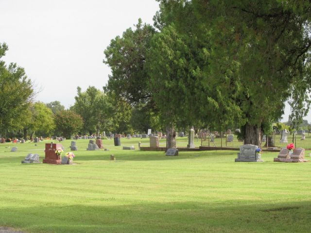
| Location | : | Maysville, Garvin County, USA |
| Coordinate | : | 34.8092003, -97.4096985 |
frequently asked questions (FAQ):
-
Where is Maysville Cemetery?
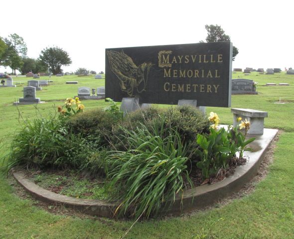
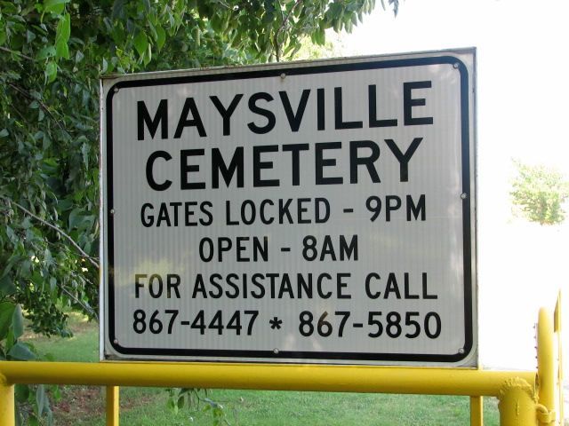
Maysville Cemetery is located at Maysville, Garvin County ,Oklahoma ,USA.
-
Maysville Cemetery cemetery's updated grave count on graveviews.com?
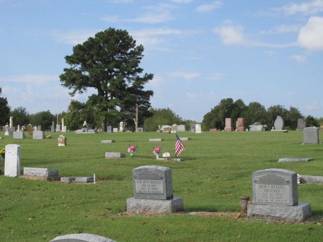
18 memorials
-
Where are the coordinates of the Maysville Cemetery?
Latitude: 34.8092003
Longitude: -97.4096985
Nearby Cemetories:
1. Randolph Cemetery
Maysville, Garvin County, USA
Coordinate: 34.8546982, -97.4064026
2. Florence Cemetery
Garvin County, USA
Coordinate: 34.7919006, -97.3153000
3. Antioch Cemetery
Antioch, Garvin County, USA
Coordinate: 34.7277985, -97.4175034
4. Whitebead Cemetery
Pauls Valley, Garvin County, USA
Coordinate: 34.7700005, -97.2902985
5. Dulin Family Cemetery
Garvin County, USA
Coordinate: 34.8275700, -97.2561700
6. Paoli Cemetery
Paoli, Garvin County, USA
Coordinate: 34.8231010, -97.2463989
7. Hopping Cemetery
Hopping Township, McClain County, USA
Coordinate: 34.9202500, -97.2839700
8. Erin Springs Cemetery
Erin Springs, Garvin County, USA
Coordinate: 34.8130500, -97.6001700
9. Green Hill Cemetery
McClain County, USA
Coordinate: 34.8553340, -97.6045670
10. Pauls Valley Cemetery
Pauls Valley, Garvin County, USA
Coordinate: 34.7330818, -97.2174225
11. Purdy Cemetery
Purdy, Garvin County, USA
Coordinate: 34.7172012, -97.6006012
12. Klondike Cemetery
Pauls Valley, Garvin County, USA
Coordinate: 34.6711006, -97.2589035
13. Bethlehem Cemetery
Pauls Valley, Garvin County, USA
Coordinate: 34.7196999, -97.2097015
14. Hillside Cemetery
Purcell, McClain County, USA
Coordinate: 34.9967003, -97.3794022
15. Elmore City Cemetery
Elmore City, Garvin County, USA
Coordinate: 34.6197014, -97.4210968
16. Mount Olivet Cemetery
Pauls Valley, Garvin County, USA
Coordinate: 34.7127991, -97.2102966
17. Kessler Atmospheric and Ecological Field Station
Washington, McClain County, USA
Coordinate: 34.9849000, -97.5243000
18. State School Cemetery
Pauls Valley, Garvin County, USA
Coordinate: 34.7022018, -97.2050018
19. Holsonbake Cemetery
Cleveland County, USA
Coordinate: 34.9707985, -97.2652969
20. Lexington Cemetery
Lexington, Cleveland County, USA
Coordinate: 35.0028000, -97.3005981
21. Fort Family Cemetery
McClain County, USA
Coordinate: 34.8697014, -97.1596985
22. Saint Johns Cemetery
Lexington, Cleveland County, USA
Coordinate: 35.0106010, -97.3171997
23. Foster Cemetery
Foster, Garvin County, USA
Coordinate: 34.6039009, -97.4935989
24. Blue Branch Cemetery
Rosedale, McClain County, USA
Coordinate: 34.8841120, -97.1591230