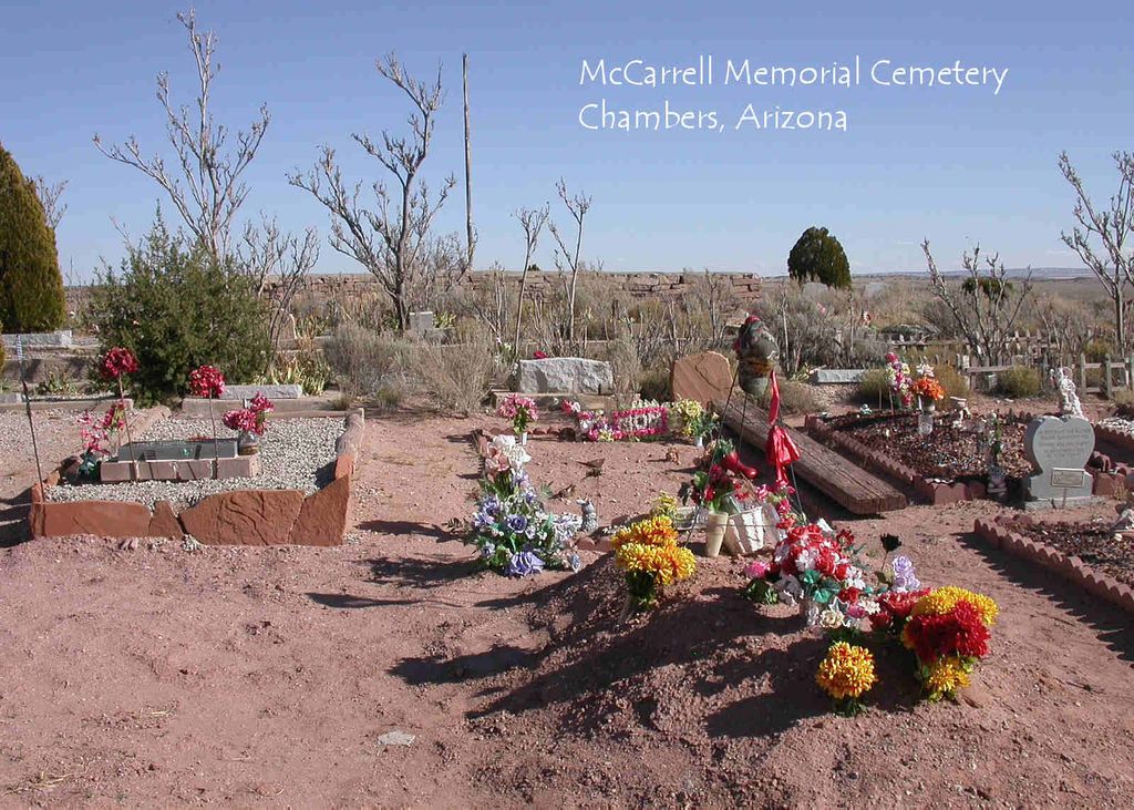
| Memorials | : | 1 |
| Location | : | Chambers, Apache County, USA |
| Coordinate | : | 35.1575012, -109.4938965 |
frequently asked questions (FAQ):
-
Where is McCarrell Memorial Cemetery?
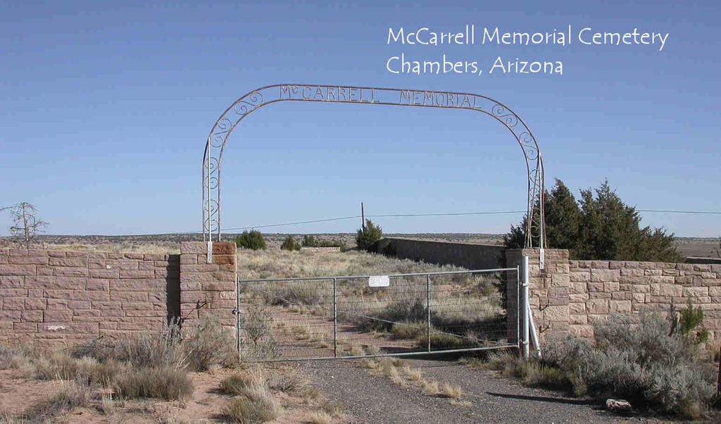
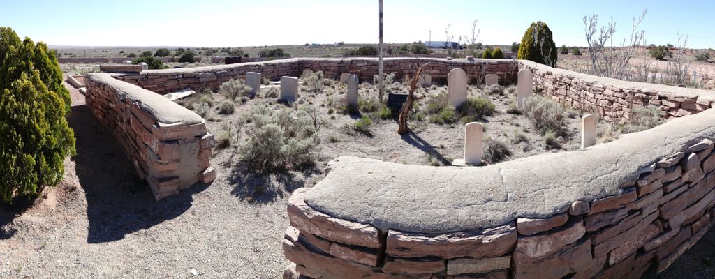
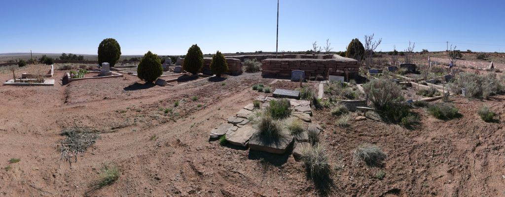
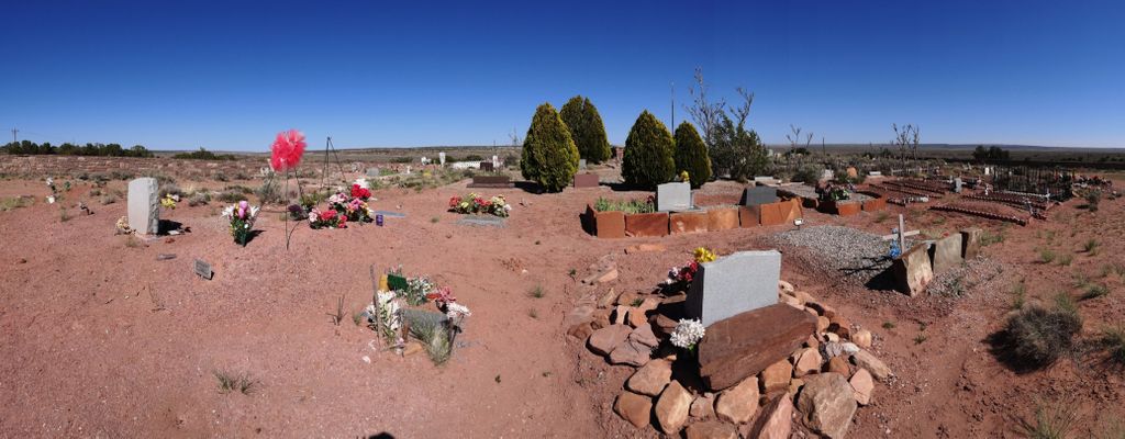
McCarrell Memorial Cemetery is located at Chambers, Apache County ,Arizona ,USA.
-
McCarrell Memorial Cemetery cemetery's updated grave count on graveviews.com?
1 memorials
-
Where are the coordinates of the McCarrell Memorial Cemetery?
Latitude: 35.1575012
Longitude: -109.4938965
Nearby Cemetories:
1. Navajo Cemetery
Navajo, Apache County, USA
Coordinate: 35.1234200, -109.5389100
2. Houck Community Cemetery
Houck, Apache County, USA
Coordinate: 35.2851790, -109.2333750
3. Wide Ruins Cemetery
Wide Ruins, Apache County, USA
Coordinate: 35.4184580, -109.4910190
4. New Houck Veteran and Community Cemetery
Houck, Apache County, USA
Coordinate: 35.2791732, -109.1883917
5. Klagetoh Cemetery
Klagetoh, Apache County, USA
Coordinate: 35.5042100, -109.5193200
6. Family Cemeteries
Apache County, USA
Coordinate: 35.3595472, -109.0677722
7. Bowman Memorial Park
Apache County, USA
Coordinate: 35.4192009, -109.1072006
8. Greasewood Community Cemetery
Greasewood, Navajo County, USA
Coordinate: 35.5236500, -109.8629500
9. Cornfields Community Cemetery
Cornfields, Apache County, USA
Coordinate: 35.6569180, -109.6770640
10. Old Mission Cemetery
Zuni, McKinley County, USA
Coordinate: 35.0678960, -108.8492640
11. Quincy Pateah Cemetery
Zuni, McKinley County, USA
Coordinate: 35.0527470, -108.8502790
12. Ganado Community Cemetery
Ganado, Apache County, USA
Coordinate: 35.6991997, -109.5413971
13. Indian Wells Community Cemetery
Indian Wells, Navajo County, USA
Coordinate: 35.4064600, -110.0857800
14. Ganado Mission Cemetery
Ganado, Apache County, USA
Coordinate: 35.7095310, -109.5452160
15. Hubbell Hill Cemetery
Ganado, Apache County, USA
Coordinate: 35.7110170, -109.5613780
16. Ward Cemetery
Concho, Apache County, USA
Coordinate: 34.6233014, -109.7602670
17. Woodruff Cemetery
Woodruff, Navajo County, USA
Coordinate: 34.7775000, -110.0325000
18. Saint Michaels Cemetery
Saint Michaels, Apache County, USA
Coordinate: 35.6431900, -109.0986900
19. Kinlichee Cemetery
Kinlichee, Apache County, USA
Coordinate: 35.7427370, -109.4530700
20. Holbrook Cemetery
Holbrook, Navajo County, USA
Coordinate: 34.9097600, -110.1572500
21. Pine Tree Cemetery
Vanderwagen, McKinley County, USA
Coordinate: 35.2658410, -108.7540080
22. Sunset Memorial Park
Gallup, McKinley County, USA
Coordinate: 35.5028770, -108.8443640
23. Seventh Day Adventist Mission Cemetery
Holbrook, Navajo County, USA
Coordinate: 34.8842400, -110.1906100
24. Gallup City Cemetery
Gallup, McKinley County, USA
Coordinate: 35.5016320, -108.8400220

