
| Memorials | : | 2 |
| Location | : | Hoover, Platte County, USA |
| Coordinate | : | 39.3969002, -94.6688995 |
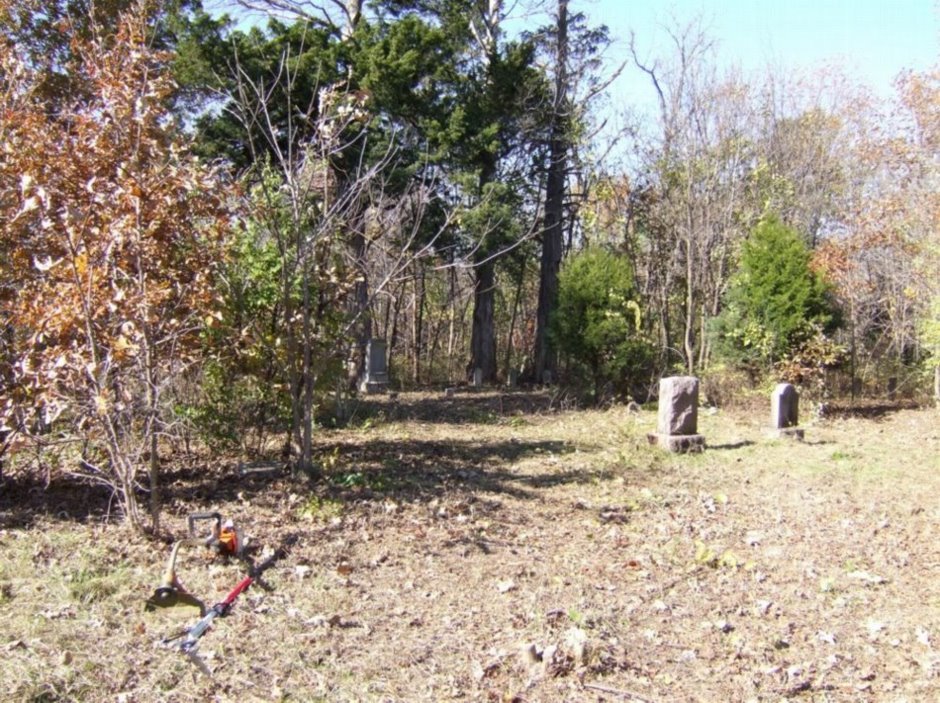
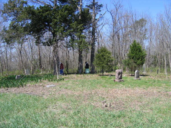
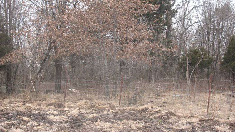
| Description | : | The McComas Cemetery is situated on private property owned by the Kimsey family in Carroll Township, not far from old covered bridge site. Permission required. Property originally that of William Burke McComas (1810) and his wife Nancy (Heath) McComas (1814) who had moved here from Cabell County, Virginia. William was the son of Moses McComas and his wife Lucy (Napier) McComas and Nancy Heath the daughter of Israel Heath and his wife Elizabeth (Blue) Heath. Both extended families moved into early Missouri 1839/40. Both William Burke and Nancy (Heath) McComas buried here. Rev. John Wesley Heath (brother to Nancy Heath) who married... Read More |
frequently asked questions (FAQ):
-
Where is McComas Cemetery?
McComas Cemetery is located at Hoover, Platte County ,Missouri ,USA.
-
McComas Cemetery cemetery's updated grave count on graveviews.com?
2 memorials
-
Where are the coordinates of the McComas Cemetery?
Latitude: 39.3969002
Longitude: -94.6688995
Nearby Cemetories:
1. Baber Family Cemetery
Platte County, USA
Coordinate: 39.4099400, -94.6663100
2. Heath Cemetery
Hoover, Platte County, USA
Coordinate: 39.4090300, -94.6557200
3. Lutes Cemetery
Platte County, USA
Coordinate: 39.4110985, -94.6830978
4. Brasfield Cemetery
Platte County, USA
Coordinate: 39.3741000, -94.6684600
5. Smith Cemetery
Ridgely, Platte County, USA
Coordinate: 39.4164009, -94.6477966
6. Boydston Cemetery
Platte City, Platte County, USA
Coordinate: 39.4005300, -94.7016600
7. Karr Cemetery
Platte County, USA
Coordinate: 39.3852000, -94.6352500
8. Farmer Cemetery
Platte County, USA
Coordinate: 39.3758800, -94.7047200
9. Chinn Cemetery
Platte County, USA
Coordinate: 39.3928900, -94.7135900
10. DeBerry Cemetery
Platte County, USA
Coordinate: 39.3657900, -94.6437800
11. Cockriel Cemetery
Ridgely, Platte County, USA
Coordinate: 39.4336014, -94.6755981
12. Collins–Flanary Cemetery
Platte City, Platte County, USA
Coordinate: 39.3797100, -94.7153800
13. Fountain Waller Cemetery
Platte County, USA
Coordinate: 39.3643990, -94.6999969
14. Byrd Cemetery
Platte County, USA
Coordinate: 39.4151900, -94.6160800
15. Dixon Cemetery
Platte County, USA
Coordinate: 39.3542400, -94.6392200
16. Skinner Cemetery
Camden Point, Platte County, USA
Coordinate: 39.4444100, -94.6986200
17. Blankenship Family Cemetery
Platte County, USA
Coordinate: 39.4518800, -94.6711600
18. Wood Cemetery
Smithville, Clay County, USA
Coordinate: 39.3816800, -94.6004500
19. Mann-Vance-Young Burying Ground
Platte County, USA
Coordinate: 39.3544800, -94.6234900
20. Pancake Cemetery
Platte County, USA
Coordinate: 39.3493996, -94.6299973
21. Hunt Cemetery
Platte County, USA
Coordinate: 39.3568100, -94.7228900
22. Goss Cemetery
Smithville, Clay County, USA
Coordinate: 39.4118996, -94.5922012
23. Oak Grove Cemetery
Platte County, USA
Coordinate: 39.3396100, -94.6307800
24. Smithville Memorial Cemetery
Smithville, Clay County, USA
Coordinate: 39.3924713, -94.5837021