
| Memorials | : | 1 |
| Location | : | Nile Township, Scioto County, USA |
| Coordinate | : | 38.6371994, -83.2294006 |
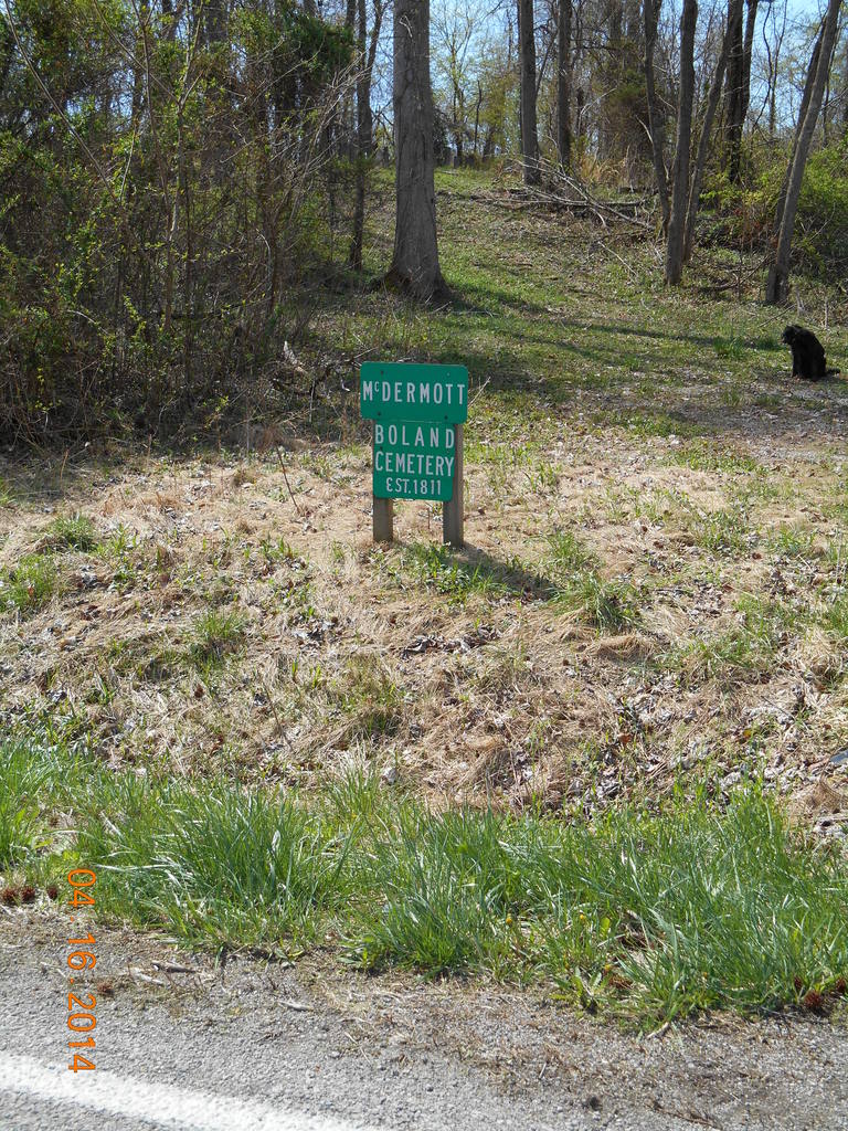
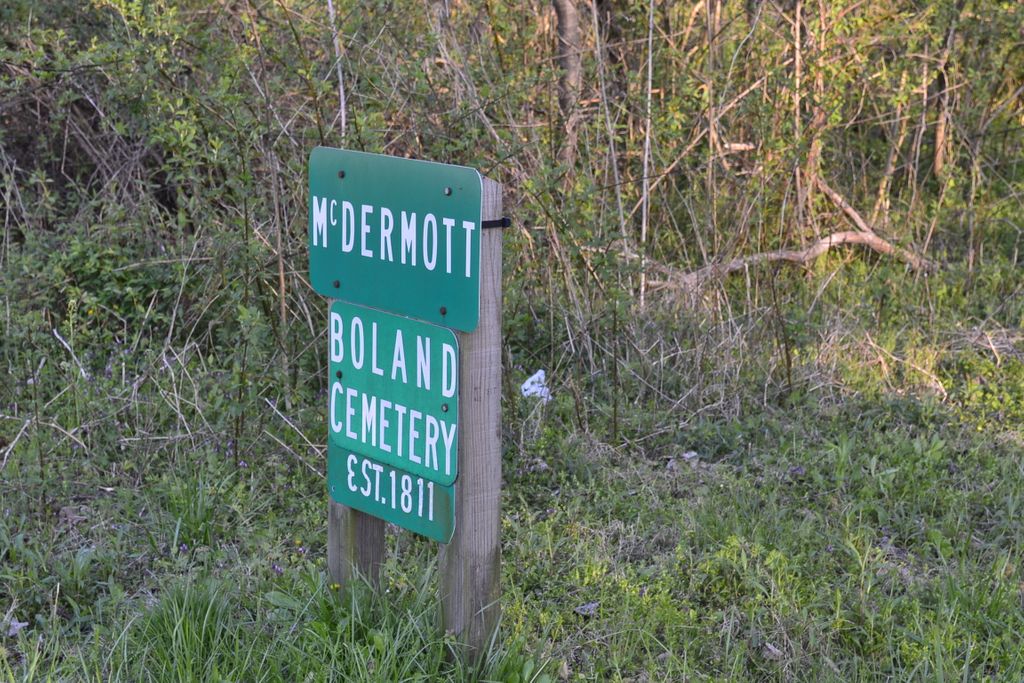
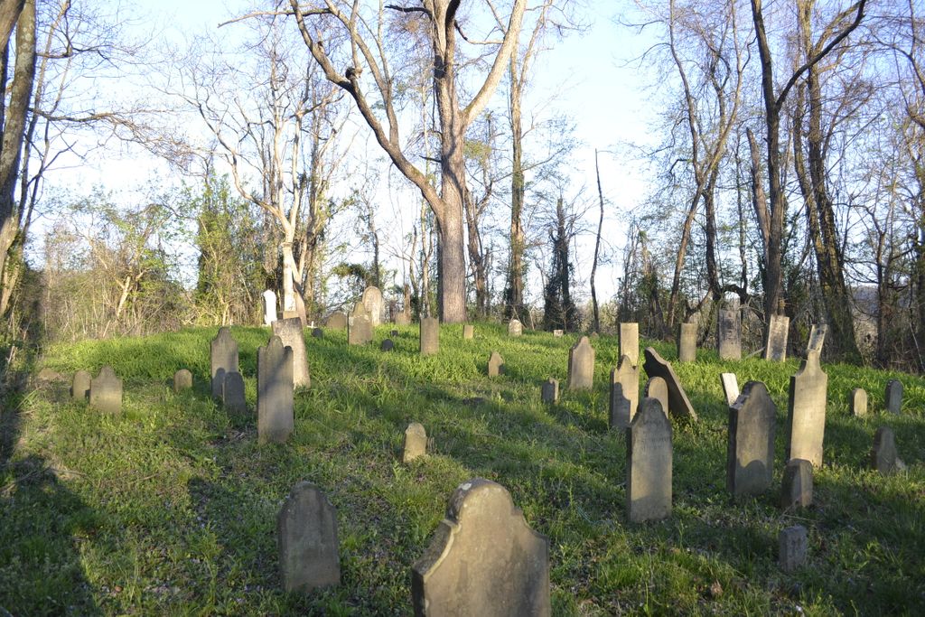
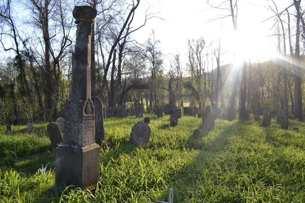
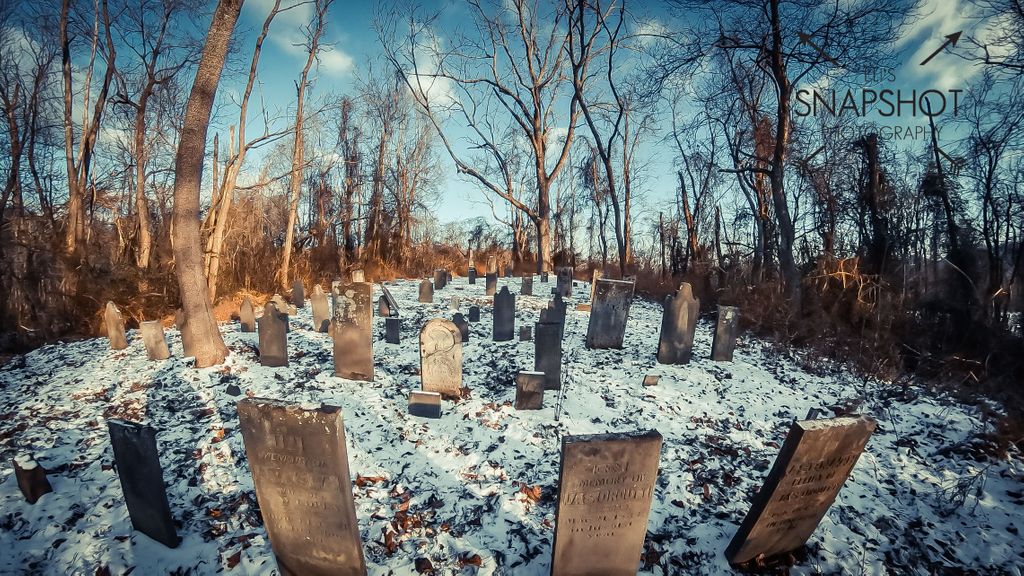
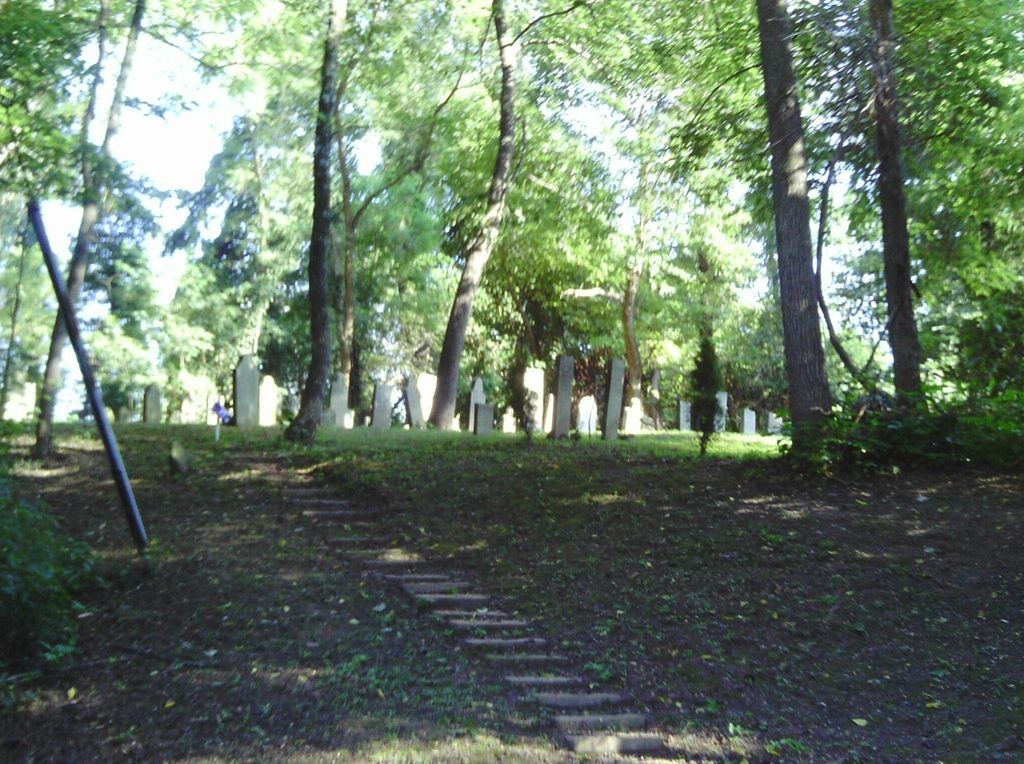
| Description | : | The cemetery is located on the south side of the Ohio River Scenic Byway (US 52) about 0.3 miles west of its intersection with Upper Twin Creek – Rocky Fork Road. The cemetery was established in 1811. The cemetery is located in Nile Township, Scioto County, Ohio, and is # 10934 (McDermitt Cemetery / Herdman Cemetery) in “Ohio Cemeteries 1803-2003”, compiled by the Ohio Genealogical Society. The U.S. Geological Survey (USGS) Geographic Names Information System (GNIS) feature ID for the cemetery is 1043162 (McDermitt Cemetery / McDermott Cemetery). |
frequently asked questions (FAQ):
-
Where is McDermitt Cemetery?
McDermitt Cemetery is located at Ohio River Scenic Byway (US 52) Nile Township, Scioto County ,Ohio , 45684USA.
-
McDermitt Cemetery cemetery's updated grave count on graveviews.com?
1 memorials
-
Where are the coordinates of the McDermitt Cemetery?
Latitude: 38.6371994
Longitude: -83.2294006
Nearby Cemetories:
1. McKendree Cemetery
Buena Vista, Scioto County, USA
Coordinate: 38.6361900, -83.2187900
2. Mitchell-Morrison Cemetery
Buena Vista, Scioto County, USA
Coordinate: 38.6275750, -83.1989160
3. Spy Run Cemetery
Garrison, Lewis County, USA
Coordinate: 38.5918700, -83.2150700
4. McCall Cemetery
Sandy Springs, Adams County, USA
Coordinate: 38.6081009, -83.2825012
5. Potter Cemetery
Garrison, Lewis County, USA
Coordinate: 38.6023974, -83.1813616
6. Waring Cemetery
Garrison, Lewis County, USA
Coordinate: 38.6006012, -83.1781006
7. Bruce Cemetery
Garrison, Lewis County, USA
Coordinate: 38.5909140, -83.1912280
8. River Family Cemetery
Green Township, Adams County, USA
Coordinate: 38.6613500, -83.2931700
9. Hook Farm Cemetery
Garrison, Lewis County, USA
Coordinate: 38.6018610, -83.1733200
10. Dead Man Hollow Burial Site
Nile Township, Scioto County, USA
Coordinate: 38.6937625, -83.2427030
11. Sandy Spring Cemetery
Sandy Springs, Adams County, USA
Coordinate: 38.6115800, -83.2982600
12. Garland Cemetery
Garrison, Lewis County, USA
Coordinate: 38.6054220, -83.1645060
13. CCC Cemetery
Nile Township, Scioto County, USA
Coordinate: 38.6974435, -83.2089636
14. Truitt-Woodworth Family Cemetery
Quincy, Lewis County, USA
Coordinate: 38.6074980, -83.1543600
15. Kimbler Cemetery
Garrison, Lewis County, USA
Coordinate: 38.5733500, -83.2052600
16. Skidmore Cemetery
Garrison, Lewis County, USA
Coordinate: 38.5780290, -83.1891480
17. Christy Cemetery
Lewis County, USA
Coordinate: 38.5774994, -83.1889038
18. Lower Twin Cemetery
Blue Creek, Adams County, USA
Coordinate: 38.6743100, -83.3027600
19. Hubbard Cemetery
Lewis County, USA
Coordinate: 38.5752983, -83.1911011
20. Moses Adams Cemetery
Green Township, Adams County, USA
Coordinate: 38.6384277, -83.3243484
21. Soldier Cemetery
Garrison, Lewis County, USA
Coordinate: 38.6036160, -83.1440720
22. Sullivan Cemetery
Garrison, Lewis County, USA
Coordinate: 38.5639000, -83.2067032
23. Methodist Cemetery
Quincy, Lewis County, USA
Coordinate: 38.6219600, -83.1329500
24. McGraw Cemetery
Nile Township, Scioto County, USA
Coordinate: 38.7122248, -83.2575254