
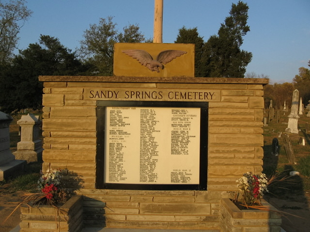
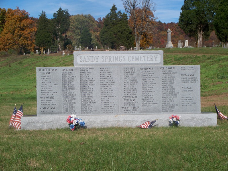
| Memorials | : | 105 |
| Location | : | Sandy Springs, Adams County, USA |
| Coordinate | : | 38.6115800, -83.2982600 |
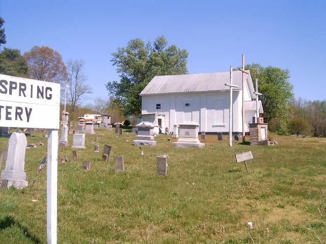
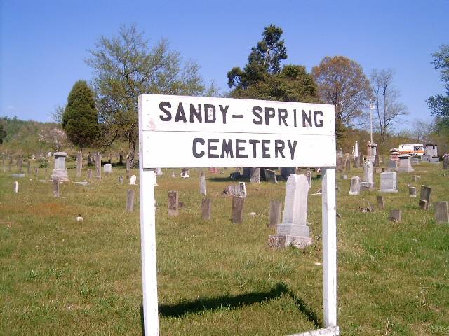
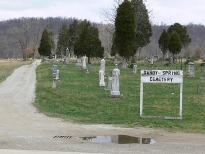
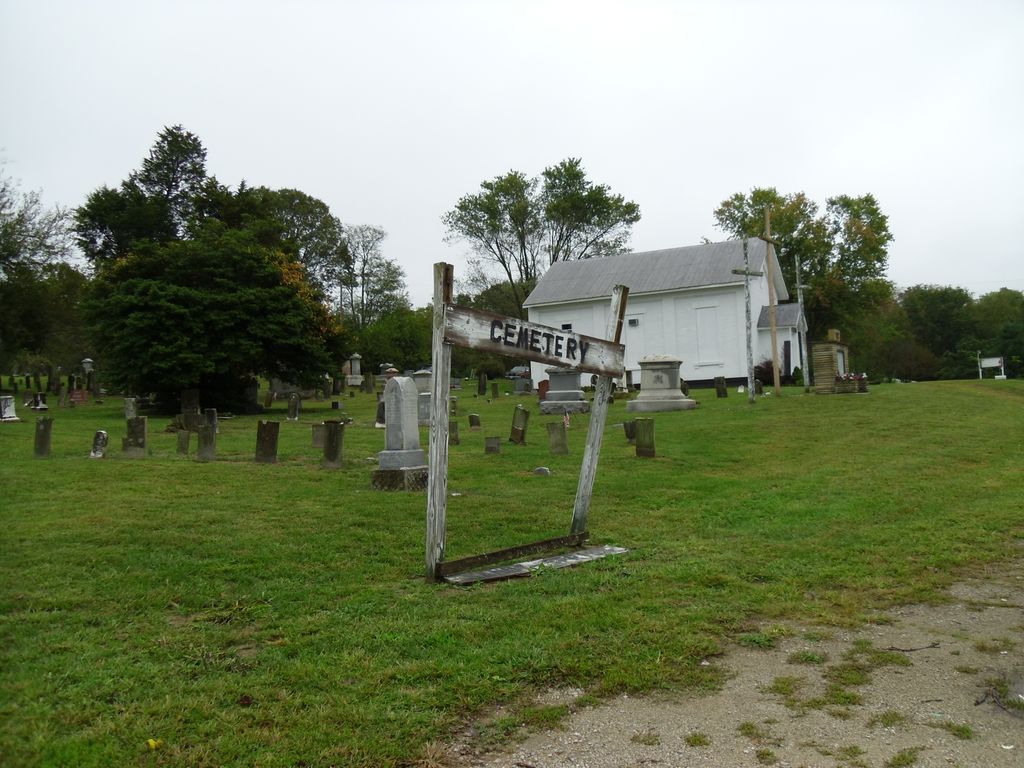
| Description | : | The cemetery is located on the north side of the Ohio River Scenic Byway (US 52) at its intersection with Sandy Springs Lane (County Road 31). The cemetery is located in Green Township, Adams County, Ohio, and is # 27 (Sandy Springs Presbyterian Cemetery / Sandy Springs Cemetery) in “Ohio Cemeteries 1803-2003”, compiled by the Ohio Genealogical Society. The cemetery is registered with the Ohio Division of Real Estate and Professional Licensing (ODRE) as Sandy Springs Cemetery with registration license number CGR.0000981843. The U.S. Geological Survey (USGS) Geographic Names Information System (GNIS) feature ID for the cemetery is... Read More |
frequently asked questions (FAQ):
-
Where is Sandy Spring Cemetery?
Sandy Spring Cemetery is located at Ohio River Scenic Byway (US 52)q Sandy Springs, Adams County ,Ohio , 45684USA.
-
Sandy Spring Cemetery cemetery's updated grave count on graveviews.com?
104 memorials
-
Where are the coordinates of the Sandy Spring Cemetery?
Latitude: 38.6115800
Longitude: -83.2982600
Nearby Cemetories:
1. McCall Cemetery
Sandy Springs, Adams County, USA
Coordinate: 38.6081009, -83.2825012
2. Moses Adams Cemetery
Green Township, Adams County, USA
Coordinate: 38.6384277, -83.3243484
3. River Family Cemetery
Green Township, Adams County, USA
Coordinate: 38.6613500, -83.2931700
4. Clarksburg Cemetery
Lewis County, USA
Coordinate: 38.5874260, -83.3660650
5. McDermitt Cemetery
Nile Township, Scioto County, USA
Coordinate: 38.6371994, -83.2294006
6. Hannibal-Shope Cemetery
Lewis County, USA
Coordinate: 38.5501280, -83.2857460
7. Lower Twin Cemetery
Blue Creek, Adams County, USA
Coordinate: 38.6743100, -83.3027600
8. Pleasant Ridge Cemetery
Lewis County, USA
Coordinate: 38.6143990, -83.3822021
9. McKendree Cemetery
Buena Vista, Scioto County, USA
Coordinate: 38.6361900, -83.2187900
10. Spy Run Cemetery
Garrison, Lewis County, USA
Coordinate: 38.5918700, -83.2150700
11. Adams Cemetery
Lewis County, USA
Coordinate: 38.5414009, -83.3443985
12. Mitchell-Morrison Cemetery
Buena Vista, Scioto County, USA
Coordinate: 38.6275750, -83.1989160
13. Maddy Lewis Cemetery
Garrison, Lewis County, USA
Coordinate: 38.5525017, -83.2288971
14. Kimbler Cemetery
Garrison, Lewis County, USA
Coordinate: 38.5733500, -83.2052600
15. Sullivan Cemetery
Garrison, Lewis County, USA
Coordinate: 38.5639000, -83.2067032
16. Bruce Cemetery
Garrison, Lewis County, USA
Coordinate: 38.5909140, -83.1912280
17. Stout Cemetery
Stout, Adams County, USA
Coordinate: 38.6655998, -83.3867035
18. Point Cemetery
Stout, Adams County, USA
Coordinate: 38.6727982, -83.3814011
19. Hubbard Cemetery
Lewis County, USA
Coordinate: 38.5752983, -83.1911011
20. Skidmore Cemetery
Garrison, Lewis County, USA
Coordinate: 38.5780290, -83.1891480
21. Potter Cemetery
Garrison, Lewis County, USA
Coordinate: 38.6023974, -83.1813616
22. Christy Cemetery
Lewis County, USA
Coordinate: 38.5774994, -83.1889038
23. Dead Man Hollow Burial Site
Nile Township, Scioto County, USA
Coordinate: 38.6937625, -83.2427030
24. Waring Cemetery
Garrison, Lewis County, USA
Coordinate: 38.6006012, -83.1781006