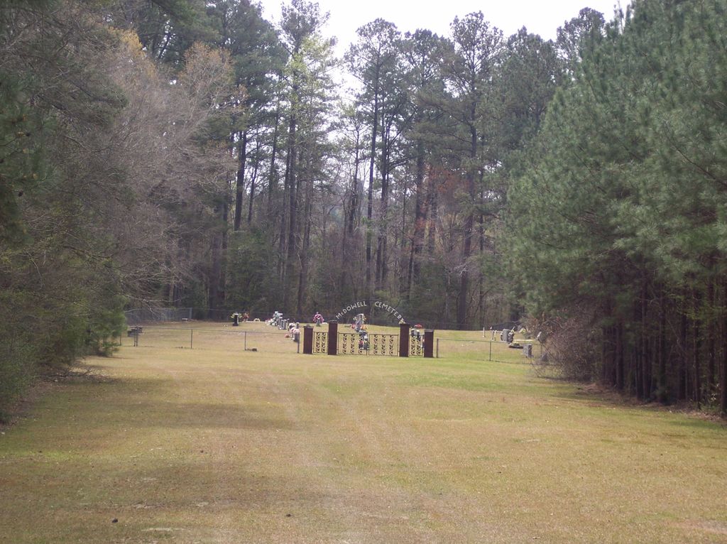
| Memorials | : | 0 |
| Location | : | Bladon Springs, Choctaw County, USA |
| Coordinate | : | 31.7292004, -88.1678009 |
frequently asked questions (FAQ):
-
Where is McDowell Cemetery?
McDowell Cemetery is located at Bladon Springs, Choctaw County ,Alabama ,USA.
-
McDowell Cemetery cemetery's updated grave count on graveviews.com?
0 memorials
-
Where are the coordinates of the McDowell Cemetery?
Latitude: 31.7292004
Longitude: -88.1678009
Nearby Cemetories:
1. Antioch Baptist Church Cemetery
Choctaw County, USA
Coordinate: 31.7340940, -88.1853240
2. Staples Family Cemetery
Choctaw County, USA
Coordinate: 31.7305870, -88.1862500
3. Moore Cemetery
Choctaw County, USA
Coordinate: 31.7577991, -88.1635971
4. Bladon Springs Cemetery
Bladon Springs, Choctaw County, USA
Coordinate: 31.7378006, -88.2027969
5. Friendship Cemetery
Washington County, USA
Coordinate: 31.6872005, -88.1821976
6. Coffeeville Cemetery
Coffeeville, Clarke County, USA
Coordinate: 31.7593994, -88.0871964
7. Thornton Cemetery
Coffeeville, Clarke County, USA
Coordinate: 31.7453003, -88.0796967
8. Frankville Cemetery
Frankville, Washington County, USA
Coordinate: 31.6474991, -88.1468964
9. Reynolds Family Cemetery
Frankville, Washington County, USA
Coordinate: 31.6440450, -88.1518830
10. Granade Cemetery
Washington County, USA
Coordinate: 31.6438999, -88.1517029
11. New Hope Cemetery
Frankville, Washington County, USA
Coordinate: 31.6506004, -88.1239014
12. Hall Cemetery
Choctaw County, USA
Coordinate: 31.7714005, -88.2602997
13. Mount Bethel Cemetery
Washington County, USA
Coordinate: 31.6406002, -88.1436005
14. Black Creek Baptist Church Cemetery
Choctaw County, USA
Coordinate: 31.7886009, -88.2510986
15. Union Grove Baptist Church Cemetery
Coffeeville, Clarke County, USA
Coordinate: 31.7134130, -88.0589830
16. Shady Grove Missionary Baptist Church Cemetery
Silas, Choctaw County, USA
Coordinate: 31.7859200, -88.2559800
17. Floyd Cemetery
Choctaw County, USA
Coordinate: 31.7155991, -88.2786026
18. Ulcanush Cemetery
Coffeeville, Clarke County, USA
Coordinate: 31.7868996, -88.0768967
19. Chalk Hill Cemetery
Millry, Washington County, USA
Coordinate: 31.6606007, -88.2530975
20. Cedar Point Baptist Church Cemetery
Coffeeville, Clarke County, USA
Coordinate: 31.8240550, -88.1256040
21. Estes Cemetery
Coffeeville, Clarke County, USA
Coordinate: 31.8118650, -88.0944660
22. Mosley Spring Cemetery
Clarke County, USA
Coordinate: 31.7274890, -88.0449570
23. Grace Chapel Cemetery
Coffeeville, Clarke County, USA
Coordinate: 31.7291230, -88.0434990
24. Three Forks Baptist Church Cemetery
Bigbee, Washington County, USA
Coordinate: 31.6233006, -88.1733017


