
| Memorials | : | 0 |
| Location | : | Sweetwater County, USA |
| Coordinate | : | 41.0200000, -109.8892000 |
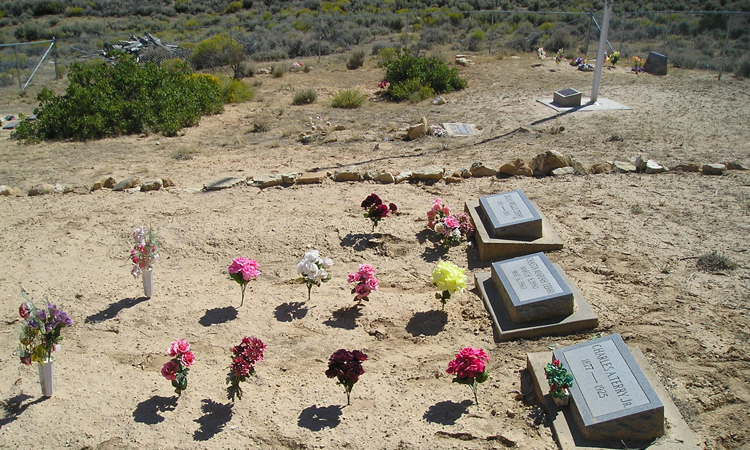
| Description | : | This is a family cemetery located on private property. It is on a ranch homesteaded by Charles A. Terry Sr. It has several graves of Terry's and Anderson's among others. There is another City cemetery for McKinnon. |
frequently asked questions (FAQ):
-
Where is McKinnon Cemetery?
McKinnon Cemetery is located at Sweetwater County ,Wyoming , 82938USA.
-
McKinnon Cemetery cemetery's updated grave count on graveviews.com?
0 memorials
-
Where are the coordinates of the McKinnon Cemetery?
Latitude: 41.0200000
Longitude: -109.8892000


Nearby Cemetories:
1. McKinnon Cemetery
McKinnon, Sweetwater County, USA
Coordinate: 41.0197400, -109.8899500
2. Burntfork Cemetery
Burntfork, Sweetwater County, USA
Coordinate: 41.0381012, -109.9897003
3. Widdop Cemetery
Sweetwater County, USA
Coordinate: 41.0182991, -110.0111008
4. Cleophas J. Dowd Gravesite
Manila, Daggett County, USA
Coordinate: 40.9399986, -109.7585983
5. Manila Cemetery
Manila, Daggett County, USA
Coordinate: 40.9968987, -109.7144012
6. Dick Son Ranch Cemetery
Sweetwater County, USA
Coordinate: 41.0236110, -109.6933300
7. Bullock Cemetery
Lonetree, Uinta County, USA
Coordinate: 41.0551800, -110.1055300
8. McGinnis-Bullock Cemetery
Sweetwater County, USA
Coordinate: 41.0550000, -110.1057000
9. Lonetree Cemetery
Uinta County, USA
Coordinate: 41.0381012, -110.1306000
10. William's Family Cemetery
Sweetwater County, USA
Coordinate: 41.0027400, -109.4267300
11. Dutch John Memorial Park
Dutch John, Daggett County, USA
Coordinate: 40.9379000, -109.3887120
12. Eardley Ranch Cemetery
Uinta County, USA
Coordinate: 41.2118510, -110.4000810
13. Lyman City Cemetery
Lyman, Uinta County, USA
Coordinate: 41.3351090, -110.2883580
14. Johnson Cemetery
Uinta County, USA
Coordinate: 41.1747017, -110.4449997
15. Robertson Cemetery
Robertson, Uinta County, USA
Coordinate: 41.1749500, -110.4456800
16. Suicide Park Cemetery
Summit County, USA
Coordinate: 40.9946000, -110.4827500
17. Fort Bridger Cemetery
Fort Bridger, Uinta County, USA
Coordinate: 41.3031006, -110.3839035
18. Millburne Cemetery
Millburne, Uinta County, USA
Coordinate: 41.2807999, -110.4124985
19. Carter Cemetery
Fort Bridger, Uinta County, USA
Coordinate: 41.3165700, -110.3902500
20. Thornburgh Gravesite
Fort Bridger, Uinta County, USA
Coordinate: 41.3188700, -110.3906100
21. Mountain Dell Cemetery
Dry Fork, Uintah County, USA
Coordinate: 40.5596008, -109.6556015
22. Dry Fork Cemetery
Vernal, Uintah County, USA
Coordinate: 40.5593987, -109.6547012
23. Reed Cemetery
Uintah County, USA
Coordinate: 40.5245200, -109.9580000
24. Landry Burial Site
Robertson, Uinta County, USA
Coordinate: 41.0275700, -110.5754000