
| Memorials | : | 0 |
| Location | : | Sweetwater County, USA |
| Coordinate | : | 41.0027400, -109.4267300 |
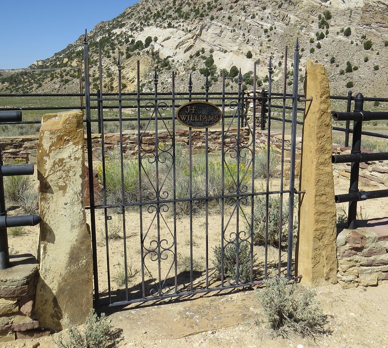
| Description | : | Cemetery is on the Baker family private land. Highway 191S just south of Minnie's Gap about 50 feet off the east side of the highway. 41.002743, -109.426730 |
frequently asked questions (FAQ):
-
Where is William's Family Cemetery?
William's Family Cemetery is located at Sweetwater County ,Wyoming ,USA.
-
William's Family Cemetery cemetery's updated grave count on graveviews.com?
0 memorials
-
Where are the coordinates of the William's Family Cemetery?
Latitude: 41.0027400
Longitude: -109.4267300
Nearby Cemetories:
1. Dutch John Memorial Park
Dutch John, Daggett County, USA
Coordinate: 40.9379000, -109.3887120
2. Dick Son Ranch Cemetery
Sweetwater County, USA
Coordinate: 41.0236110, -109.6933300
3. John Jarvie Ranch Historic Site Cemetery
Dutch John, Daggett County, USA
Coordinate: 40.8997890, -109.1785400
4. Manila Cemetery
Manila, Daggett County, USA
Coordinate: 40.9968987, -109.7144012
5. Cleophas J. Dowd Gravesite
Manila, Daggett County, USA
Coordinate: 40.9399986, -109.7585983
6. Browns Park Livestock Ranch Cemetery
Daggett County, USA
Coordinate: 40.8412420, -109.0770950
7. McKinnon Cemetery
Sweetwater County, USA
Coordinate: 41.0200000, -109.8892000
8. McKinnon Cemetery
McKinnon, Sweetwater County, USA
Coordinate: 41.0197400, -109.8899500
9. Dart Gravesite
Maybell, Moffat County, USA
Coordinate: 40.9229000, -108.9436000
10. Burntfork Cemetery
Burntfork, Sweetwater County, USA
Coordinate: 41.0381012, -109.9897003
11. Widdop Cemetery
Sweetwater County, USA
Coordinate: 41.0182991, -110.0111008
12. Lodore Cemetery
Greystone, Moffat County, USA
Coordinate: 40.7801000, -108.8920000
13. Dry Fork Cemetery
Vernal, Uintah County, USA
Coordinate: 40.5593987, -109.6547012
14. Mountain Dell Cemetery
Dry Fork, Uintah County, USA
Coordinate: 40.5596008, -109.6556015
15. Bassett Cemetery
Maybell, Moffat County, USA
Coordinate: 40.7914009, -108.8458023
16. Bullock Cemetery
Lonetree, Uinta County, USA
Coordinate: 41.0551800, -110.1055300
17. McGinnis-Bullock Cemetery
Sweetwater County, USA
Coordinate: 41.0550000, -110.1057000
18. Rock Point Cemetery
Maeser, Uintah County, USA
Coordinate: 40.4944000, -109.5727997
19. Riverview Cemetery
Green River, Sweetwater County, USA
Coordinate: 41.5335999, -109.4571991
20. Lonetree Cemetery
Uinta County, USA
Coordinate: 41.0381012, -110.1306000
21. Maeser Fairview Cemetery
Vernal, Uintah County, USA
Coordinate: 40.4502780, -109.5952780
22. Douglass Family Cemetery
Jensen, Uintah County, USA
Coordinate: 40.4387000, -109.3107000
23. Vernal Memorial Park
Vernal, Uintah County, USA
Coordinate: 40.4303017, -109.5214005
24. Rock Springs Cemetery
Rock Springs, Sweetwater County, USA
Coordinate: 41.5778008, -109.2118988