| Memorials | : | 28 |
| Location | : | Eastview, Hardin County, USA |
| Coordinate | : | 37.6081740, -86.1138750 |
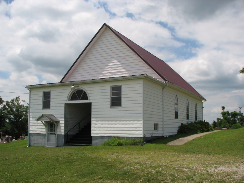
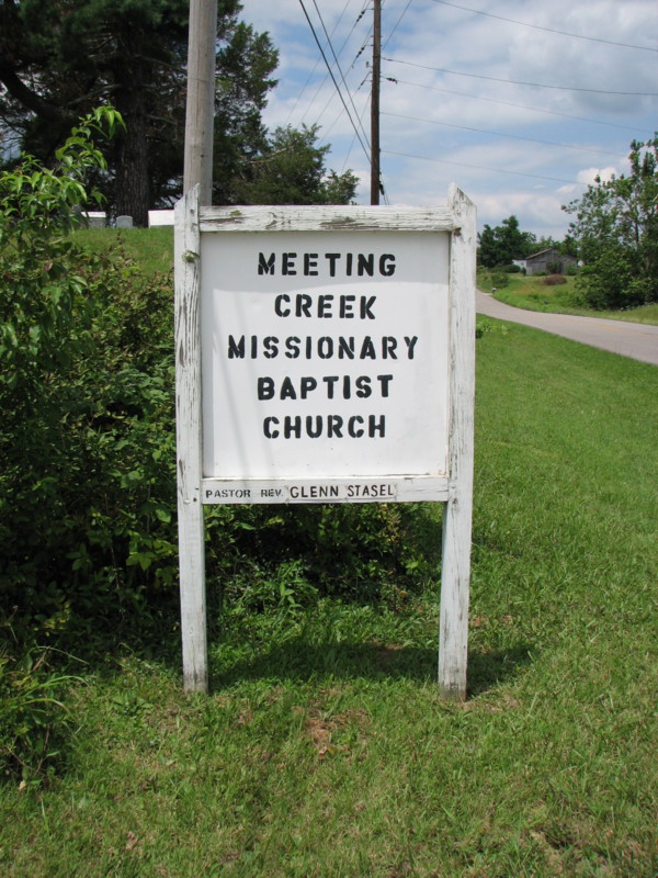
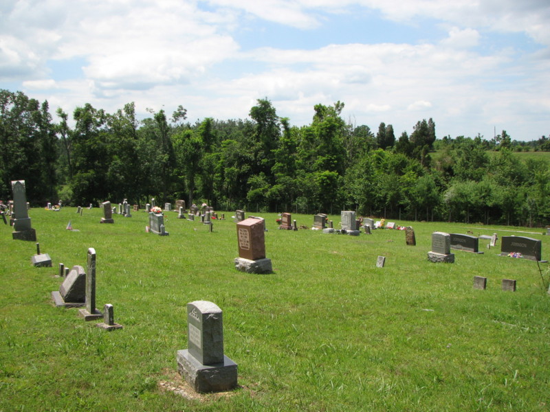
| Description | : | This cemetery is located adjacent to the Meeting Creek Baptist Church on Highway KY. 84, approxiamtely 4 miles west of the town of East View. |
frequently asked questions (FAQ):
-
Where is Meeting Creek Baptist Church Cemetery?
Meeting Creek Baptist Church Cemetery is located at Eastview, Hardin County ,Kentucky ,USA.
-
Meeting Creek Baptist Church Cemetery cemetery's updated grave count on graveviews.com?
27 memorials
-
Where are the coordinates of the Meeting Creek Baptist Church Cemetery?
Latitude: 37.6081740
Longitude: -86.1138750
Nearby Cemetories:
1. Jacobs Graveyard
Hardin County, USA
Coordinate: 37.6047270, -86.1348970
2. Sutzer Creek Cemetery
Hardin County, USA
Coordinate: 37.6278000, -86.1093979
3. Fairfield Baptist Church Cemetery
Eastview, Hardin County, USA
Coordinate: 37.6131140, -86.0883410
4. Dellview Cemetery
Hardin County, USA
Coordinate: 37.5793991, -86.1141968
5. Needham Smith Chapel Cemetery
Hardin County, USA
Coordinate: 37.6260986, -86.1485977
6. Akers Family Cemetery
Summit, Hardin County, USA
Coordinate: 37.5673190, -86.1124840
7. Needham Family Cemetery
Hardin County, USA
Coordinate: 37.6338900, -86.1556000
8. Old Brick Cemetery
Eastview, Hardin County, USA
Coordinate: 37.5780000, -86.0725000
9. Eastview Baptist Church Cemetery
Eastview, Hardin County, USA
Coordinate: 37.5877880, -86.0613540
10. Richardson-Woolridge Cemetery
Summit, Hardin County, USA
Coordinate: 37.5695220, -86.0790150
11. Summit Methodist Church Cemetery
Eastview, Hardin County, USA
Coordinate: 37.5691770, -86.0770010
12. Moore Cemetery #1
Hardin County, USA
Coordinate: 37.5881700, -86.1810200
13. Moore Cemetery #2
Eastview, Hardin County, USA
Coordinate: 37.5881160, -86.1810570
14. Richardson Home Cemetery
Hardin County, USA
Coordinate: 37.6618230, -86.0859510
15. Givan Family Graveyard
Hardin County, USA
Coordinate: 37.6422690, -86.1772520
16. Petty Cemetery
Grayson County, USA
Coordinate: 37.5505981, -86.1444016
17. Petty Cemetery
Big Clifty, Grayson County, USA
Coordinate: 37.5503360, -86.1469590
18. Cedar Hill Cemetery
Big Clifty, Grayson County, USA
Coordinate: 37.5497017, -86.1453018
19. Saint Mary Cemetery
Big Clifty, Grayson County, USA
Coordinate: 37.5493460, -86.1456600
20. Pole Bridge Baptist Church Cemetery
Hardin County, USA
Coordinate: 37.6487030, -86.1820580
21. Holbert Cemetery
Hardin County, USA
Coordinate: 37.6692009, -86.1635971
22. Stephensburg Cemetery
Stephensburg, Hardin County, USA
Coordinate: 37.6201150, -86.0225270
23. Pleasant Grove Methodist Church Cemetery
Hardin County, USA
Coordinate: 37.6116982, -86.2117004
24. Rhodes Creek Cemetery
Cecilia, Hardin County, USA
Coordinate: 37.6816470, -86.0730740


