
| Memorials | : | 0 |
| Location | : | Madera County, USA |
| Coordinate | : | 37.2859200, -119.7069900 |
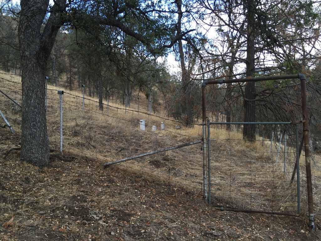
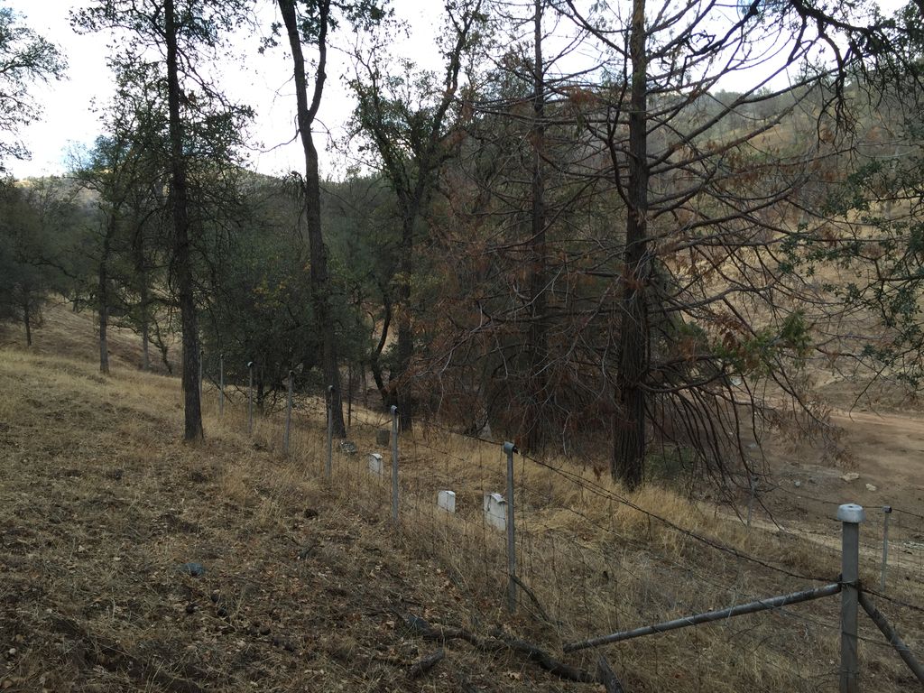
| Description | : | Coarsegold From Highway 41 in "downtown" Coarsegold, take McAllister Road 0.5 miles to first road on right past pond. Go 1.5 miles on a rocky, dirt road, crossing the creek 3 times (no bridges). Keep straight at the first fork close to McAllister Road and straight at the tin barn. The cemetery is 0.1 miles past the barn on the hill across the creek. ON PRIVATE PROPERTY |
frequently asked questions (FAQ):
-
Where is Melvin Cemetery?
Melvin Cemetery is located at Madera County ,California ,USA.
-
Melvin Cemetery cemetery's updated grave count on graveviews.com?
0 memorials
-
Where are the coordinates of the Melvin Cemetery?
Latitude: 37.2859200
Longitude: -119.7069900
Nearby Cemetories:
1. Krohn Family Cemetery
Coarsegold, Madera County, USA
Coordinate: 37.2610300, -119.7027720
2. Grub Gulch Cemetery
Raymond, Madera County, USA
Coordinate: 37.3233414, -119.7697296
3. Oakhill Cemetery
Oakhurst, Madera County, USA
Coordinate: 37.3324390, -119.6534470
4. Picayune Cemetery
Madera County, USA
Coordinate: 37.2101060, -119.6940120
5. Round House Indian Cemetery
Ahwahnee, Madera County, USA
Coordinate: 37.3749320, -119.7222450
6. Fine Gold Cemetery
Madera Ranchos, Madera County, USA
Coordinate: 37.1741982, -119.6286011
7. Lorentzen Family Cemetery
Coarsegold, Madera County, USA
Coordinate: 37.1501490, -119.7287960
8. Campo Santo Columbarium
Oakhurst, Madera County, USA
Coordinate: 37.4295080, -119.6393640
9. O'Neal Cemetery
O'Neals, Madera County, USA
Coordinate: 37.1187620, -119.7033690
10. North Fork Cemetery
North Fork, Madera County, USA
Coordinate: 37.2241707, -119.5008316
11. Harris Family Cemetery
Mariposa, Mariposa County, USA
Coordinate: 37.4644200, -119.7374500
12. Williams-Hanover Cemetery
Hildreth, Madera County, USA
Coordinate: 37.1132750, -119.6171240
13. Brewer's Green Mountain Cemetery
Mariposa County, USA
Coordinate: 37.2607840, -119.9622920
14. James D Savage Grave Site
Raymond, Madera County, USA
Coordinate: 37.1239860, -119.8740600
15. Raymond Cemetery
Raymond, Madera County, USA
Coordinate: 37.1849251, -119.9385986
16. Pea Ridge Cemetery
Mariposa County, USA
Coordinate: 37.3605800, -119.9650100
17. Hensley-Noble Ranch Cemetery
Raymond, Madera County, USA
Coordinate: 37.1022200, -119.8749160
18. Preston-Probasco Family Cemetery
Mariposa County, USA
Coordinate: 37.2910298, -119.9959401
19. Vignolo Cemetery
Madera County, USA
Coordinate: 37.2026530, -119.9847190
20. Wagner Cemetery
Indian Springs, Madera County, USA
Coordinate: 37.0384941, -119.7134705
21. Wawona Cemetery
Wawona, Mariposa County, USA
Coordinate: 37.5388900, -119.6556800
22. White Rock Cemetery
Mariposa County, USA
Coordinate: 37.3330994, -120.0410995
23. Big Sandy Rancheria Tribal Cemetery
Auberry, Fresno County, USA
Coordinate: 37.0796400, -119.4614000
24. Saint Josephs Catholic Church Cemetery
Mariposa, Mariposa County, USA
Coordinate: 37.4830513, -119.9648666