| Memorials | : | 0 |
| Location | : | Midhirst, Stratford District, New Zealand |
| Coordinate | : | -39.2911920, 174.2731980 |
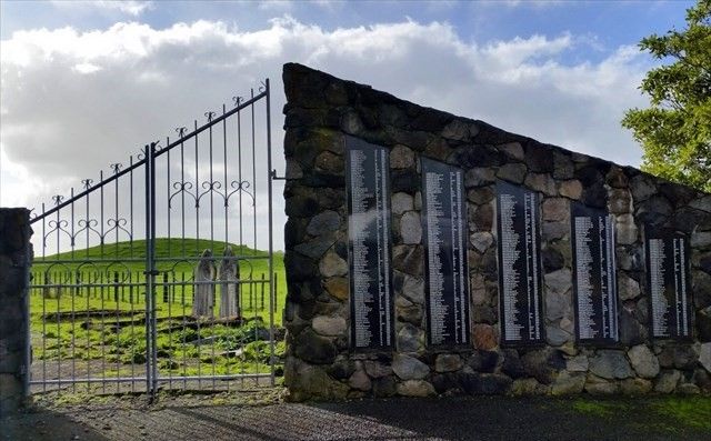
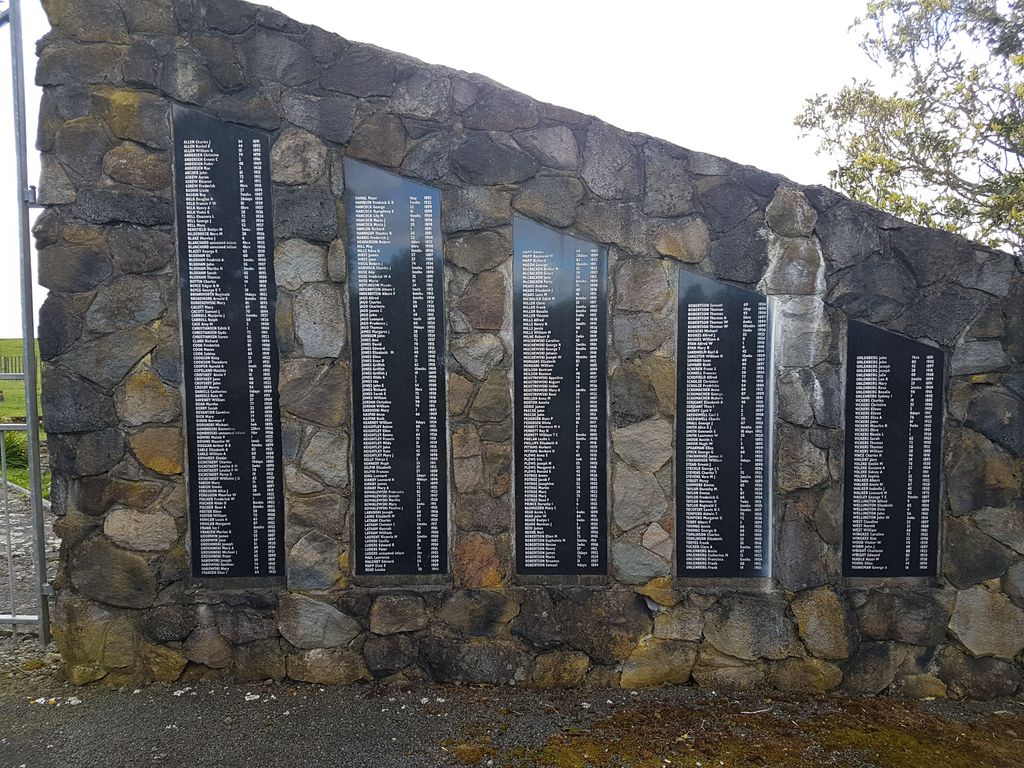
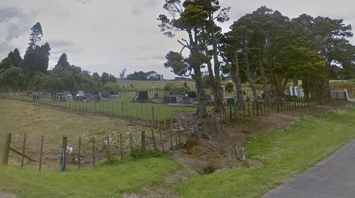
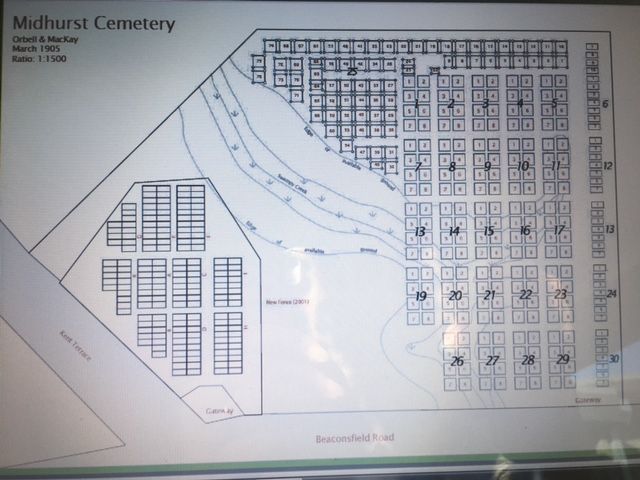
| Description | : | Located 5 km north of Stratford on Beaconsfield Rd. Not to be confused with Midhirst New Cemetery which is located a short distance away, also on Beaconsfield Rd. For some years, from 1880, Midhirst provided the only cemetery in the district. The first confirmed burial was in December 1882, and the last was in November 1956. The cemetery was officially closed in 1995. There are a large number of unmarked graves but there is a list of names of all persons interred in the cemetery together with their year of death on panels at the entrance gates. |
frequently asked questions (FAQ):
-
Where is Midhirst Old Cemetery?
Midhirst Old Cemetery is located at Beaconsfield Rd Midhirst, Stratford District ,Taranaki , 4394New Zealand.
-
Midhirst Old Cemetery cemetery's updated grave count on graveviews.com?
0 memorials
-
Where are the coordinates of the Midhirst Old Cemetery?
Latitude: -39.2911920
Longitude: 174.2731980
Nearby Cemetories:
1. Midhirst Cemetery
Midhirst, Stratford District, New Zealand
Coordinate: -39.2913640, 174.2724620
2. Pioneer Cemetery
Stratford, Stratford District, New Zealand
Coordinate: -39.3359800, 174.2929000
3. Kopuatama Cemetery
Stratford, Stratford District, New Zealand
Coordinate: -39.3364400, 174.3364500
4. Eltham Cemetery
Eltham, South Taranaki District, New Zealand
Coordinate: -39.4197140, 174.3251260
5. Inglewood Cemetery
Inglewood, New Plymouth District, New Zealand
Coordinate: -39.1554140, 174.2145930
6. Tarata Cemetery
Tarata, New Plymouth District, New Zealand
Coordinate: -39.1496000, 174.3658200
7. Kaponga Cemetery
Kaponga, South Taranaki District, New Zealand
Coordinate: -39.4312210, 174.1553160
8. Mangapouri Cemetery
Egmont Village, New Plymouth District, New Zealand
Coordinate: -39.1347278, 174.1282396
9. Te Ngutu o te Manu Battlesite Memorial
Kapuni, South Taranaki District, New Zealand
Coordinate: -39.4876351, 174.1838147
10. Taranaki Crematorium
New Plymouth, New Plymouth District, New Zealand
Coordinate: -39.1216900, 174.1149500
11. Weri Weri Urupa Aotearoa Marae
Okaiawa, South Taranaki District, New Zealand
Coordinate: -39.5190700, 174.2206700
12. Lepperton Cemetery
Lepperton, New Plymouth District, New Zealand
Coordinate: -39.0575500, 174.2086000
13. Purangi Cemetery
Purangi, New Plymouth District, New Zealand
Coordinate: -39.1571550, 174.5287180
14. Huirangi Cemetery
Huirangi, New Plymouth District, New Zealand
Coordinate: -39.0500060, 174.2513380
15. Te Utinga Urupā
Normanby, South Taranaki District, New Zealand
Coordinate: -39.5330847, 174.2761055
16. O'Carroll Family Cemetery
New Plymouth District, New Zealand
Coordinate: -39.0465210, 174.2651080
17. Okaiawa Cemetery
Okaiawa, South Taranaki District, New Zealand
Coordinate: -39.5310220, 174.2042180
18. Waihi Cemetery and Redoubt
Normanby, South Taranaki District, New Zealand
Coordinate: -39.5444930, 174.2566820
19. Taumata Historic Reserve
Bell Block, New Plymouth District, New Zealand
Coordinate: -39.0478297, 174.1720073
20. Awanui Cemetery
New Plymouth, New Plymouth District, New Zealand
Coordinate: -39.0670040, 174.0972140
21. Tikorangi Cemetery
Tikorangi, New Plymouth District, New Zealand
Coordinate: -39.0291440, 174.2967880
22. Hurdon Cemetery
New Plymouth, New Plymouth District, New Zealand
Coordinate: -39.0870420, 174.0529740
23. Motuawa Urupā Waiokura Marae
Manaia, South Taranaki District, New Zealand
Coordinate: -39.5388010, 174.1438990
24. St Lukes Churchyard
New Plymouth, New Plymouth District, New Zealand
Coordinate: -39.0332876, 174.1539411


