
| Memorials | : | 2 |
| Location | : | Kaponga, South Taranaki District, New Zealand |
| Coordinate | : | -39.4312210, 174.1553160 |
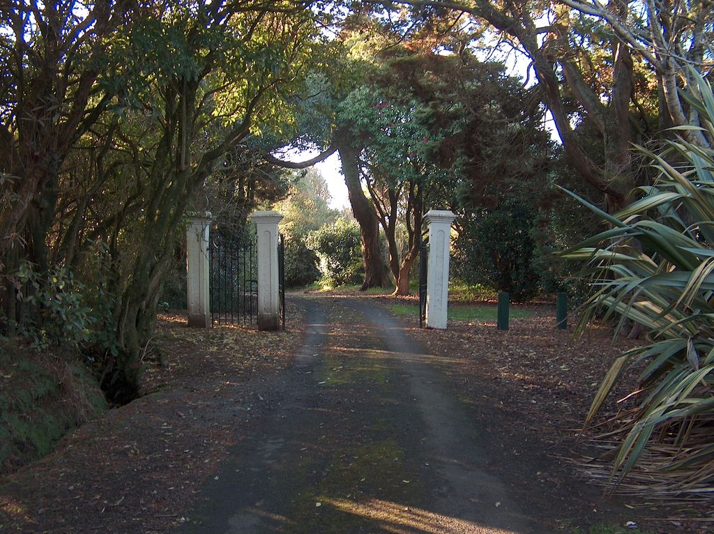
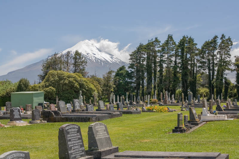
| Description | : | KAPONGA CEMETERY DATABASE - includes: Eltham Hawera Kaponga Manaia Okaiawa Opunake Otakeho Patea Waihi (Taranaki, not Coromandel) Waverley Administered by South Taranaki District Council. Kaponga is a small town in southern Taranaki, 64km south of New Plymouth. It is known as "The Gateway to Dawson's Falls" on Mount Egmont. It is located inland from Manaia and Eltham, and is on the main road connecting Eltham to Opunake. Opunaki is 26 km to the west and Eltham is 13 km to the east. Auroa lies to the south-east. Manaia is 15 km south of Kaponga. The population was 372 in the 2006 Census Kaponga was settled in 1882,... Read More |
frequently asked questions (FAQ):
-
Where is Kaponga Cemetery?
Kaponga Cemetery is located at Park Lane Kaponga, South Taranaki District ,Taranaki ,New Zealand.
-
Kaponga Cemetery cemetery's updated grave count on graveviews.com?
1 memorials
-
Where are the coordinates of the Kaponga Cemetery?
Latitude: -39.4312210
Longitude: 174.1553160
Nearby Cemetories:
1. Te Ngutu o te Manu Battlesite Memorial
Kapuni, South Taranaki District, New Zealand
Coordinate: -39.4876351, 174.1838147
2. Weri Weri Urupa Aotearoa Marae
Okaiawa, South Taranaki District, New Zealand
Coordinate: -39.5190700, 174.2206700
3. Okaiawa Cemetery
Okaiawa, South Taranaki District, New Zealand
Coordinate: -39.5310220, 174.2042180
4. Motuawa Urupā Waiokura Marae
Manaia, South Taranaki District, New Zealand
Coordinate: -39.5388010, 174.1438990
5. Manaia Redoubt
Manaia, South Taranaki District, New Zealand
Coordinate: -39.5461557, 174.1364306
6. Manaia Cemetery
Manaia, South Taranaki District, New Zealand
Coordinate: -39.5575010, 174.1354470
7. Eltham Cemetery
Eltham, South Taranaki District, New Zealand
Coordinate: -39.4197140, 174.3251260
8. Waihi Cemetery and Redoubt
Normanby, South Taranaki District, New Zealand
Coordinate: -39.5444930, 174.2566820
9. Te Utinga Urupā
Normanby, South Taranaki District, New Zealand
Coordinate: -39.5330847, 174.2761055
10. Pioneer Cemetery
Stratford, Stratford District, New Zealand
Coordinate: -39.3359800, 174.2929000
11. Ohawe Military Cemetery
Ohawe Beach, South Taranaki District, New Zealand
Coordinate: -39.5835138, 174.2003758
12. Otakeho Cemetery
New Plymouth, New Plymouth District, New Zealand
Coordinate: -39.5492080, 174.0051880
13. Midhirst Cemetery
Midhirst, Stratford District, New Zealand
Coordinate: -39.2913640, 174.2724620
14. Midhirst Old Cemetery
Midhirst, Stratford District, New Zealand
Coordinate: -39.2911920, 174.2731980
15. Kopuatama Cemetery
Stratford, Stratford District, New Zealand
Coordinate: -39.3364400, 174.3364500
16. Pihama Cemetery
Pihama, South Taranaki District, New Zealand
Coordinate: -39.5075300, 173.9285600
17. Hāwera Cemetery
Hāwera, South Taranaki District, New Zealand
Coordinate: -39.5897900, 174.2945500
18. Tiwhaiti Urupa (Taiporohenui Marae)
Hāwera, South Taranaki District, New Zealand
Coordinate: -39.5741843, 174.3216120
19. Opunake Cemetery
Opunake, South Taranaki District, New Zealand
Coordinate: -39.4515370, 173.8458110
20. Inglewood Cemetery
Inglewood, New Plymouth District, New Zealand
Coordinate: -39.1554140, 174.2145930
21. Parihaka Pā Urupa
Parihaka Pa, South Taranaki District, New Zealand
Coordinate: -39.2897366, 173.8370149
22. Rahotu Cemetery
Rahotu, South Taranaki District, New Zealand
Coordinate: -39.3339080, 173.7992810
23. Manutahi Cemetery
Manutahi, South Taranaki District, New Zealand
Coordinate: -39.6594677, 174.3924181
24. Mangapouri Cemetery
Egmont Village, New Plymouth District, New Zealand
Coordinate: -39.1347278, 174.1282396