
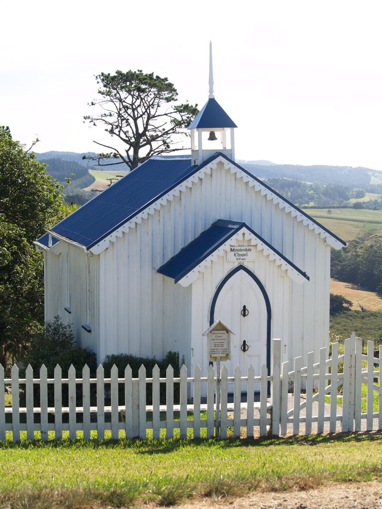
| Memorials | : | 1 |
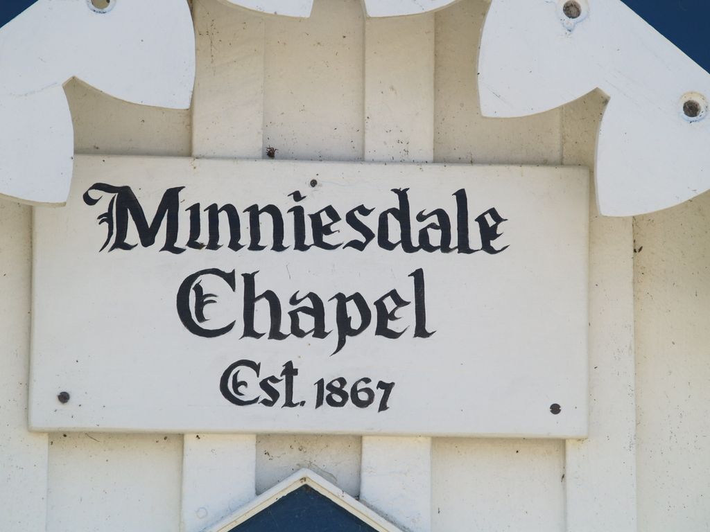
| Location | : | Wharehine, Auckland Council, New Zealand |
| Website | : | www.minniesdale.com |
| Coordinate | : | -36.3139990, 174.3996600 |
| Description | : | Minniesdale Chapel is most noted for its association with the Albertlanders, a number of whom are buried in its churchyard. The Albertlanders were a group made up largely of Nonconformists who came to New Zealand, mainly from the Midlands of England, between the years 1862 and 1865. The Albertland scheme caught the imagination of the British public from its formation by William Brame in 1862. This was because of the promise of freehold land and a classless society. Three thousand settlers made their way to New Zealand under the scheme only to find that the harsh conditions and the inexperience... Read More |
frequently asked questions (FAQ):
-
Where is Minniesdale Chapel Cemetery?
Minniesdale Chapel Cemetery is located at 67 Shegadeen Road Wharehine, Auckland Council ,Auckland , 0973New Zealand.
-
Minniesdale Chapel Cemetery cemetery's updated grave count on graveviews.com?
1 memorials
-
Where are the coordinates of the Minniesdale Chapel Cemetery?
Latitude: -36.3139990
Longitude: 174.3996600
Nearby Cemetories:
1. Port Albert Cemetery
Port Albert, Auckland Council, New Zealand
Coordinate: -36.2813200, 174.4483850
2. Tauhoa Cemetery
Tauhoa, Auckland Council, New Zealand
Coordinate: -36.3671330, 174.4449600
3. Hoteo North Cemetery
Hoteo North, Auckland Council, New Zealand
Coordinate: -36.3255803, 174.4957872
4. Wellsford Cemetery
Wellsford, Auckland Council, New Zealand
Coordinate: -36.2826700, 174.5106800
5. Kakaraea Churchyard
Kaipara Flats, Auckland Council, New Zealand
Coordinate: -36.2085010, 174.3415440
6. Glorit Cemetery
Glorit, Auckland Council, New Zealand
Coordinate: -36.4599760, 174.4448830
7. Kaiwaka Cemetery
Kaiwaka, Kaipara District, New Zealand
Coordinate: -36.1585390, 174.4597370
8. Hakaru Cemetery
Hakaru, Kaipara District, New Zealand
Coordinate: -36.1491780, 174.5103440
9. Kaipara Flats Cemetery
Kaipara Flats, Auckland Council, New Zealand
Coordinate: -36.5017800, 174.4534100
10. Te Arai Cemetery
Te Arai, Auckland Council, New Zealand
Coordinate: -36.1910790, 174.6010190
11. Whakapirau Church Cemetery
Whakapirau, Kaipara District, New Zealand
Coordinate: -36.1551200, 174.2389200
12. Komokoriki Cemetery
Manukau, Auckland Council, New Zealand
Coordinate: -36.5026370, 174.5033710
13. Warkworth Roman Catholic Cemetery
Warkworth, Auckland Council, New Zealand
Coordinate: -36.3895340, 174.6457850
14. Maungaturoto Congregational Church Cemetery
Maungaturoto, Kaipara District, New Zealand
Coordinate: -36.1022570, 174.3508790
15. Hukatere Cemetery
Kaipara District, New Zealand
Coordinate: -36.1763510, 174.1863840
16. Maungaturoto Anglican Cemetery
Maungaturoto, Kaipara District, New Zealand
Coordinate: -36.0961090, 174.3509500
17. Warkworth Anglican Church Cemetery
Warkworth, Auckland Council, New Zealand
Coordinate: -36.4022100, 174.6628800
18. Mangawhai Cemetery
Mangawhai, Kaipara District, New Zealand
Coordinate: -36.1138090, 174.5436890
19. Warkworth Cemetery
Warkworth, Auckland Council, New Zealand
Coordinate: -36.4128510, 174.6674360
20. St Marks Anglican Church Cemetery
Paparoa, Kaipara District, New Zealand
Coordinate: -36.0977590, 174.2433940
21. Paparoa Methodist Cemetery
Paparoa, Kaipara District, New Zealand
Coordinate: -36.0969090, 174.2424960
22. Matakohe Cemetery
Matakohe, Kaipara District, New Zealand
Coordinate: -36.1297650, 174.1857490
23. Matakana Public Cemetery
Matakana, Auckland Council, New Zealand
Coordinate: -36.3488910, 174.7232640
24. Pakiri Cemetery
Pakiri, Auckland Council, New Zealand
Coordinate: -36.2594400, 174.7265300