
| Memorials | : | 0 |
| Location | : | Athens, Limestone County, USA |
| Coordinate | : | 34.8882320, -86.7860500 |
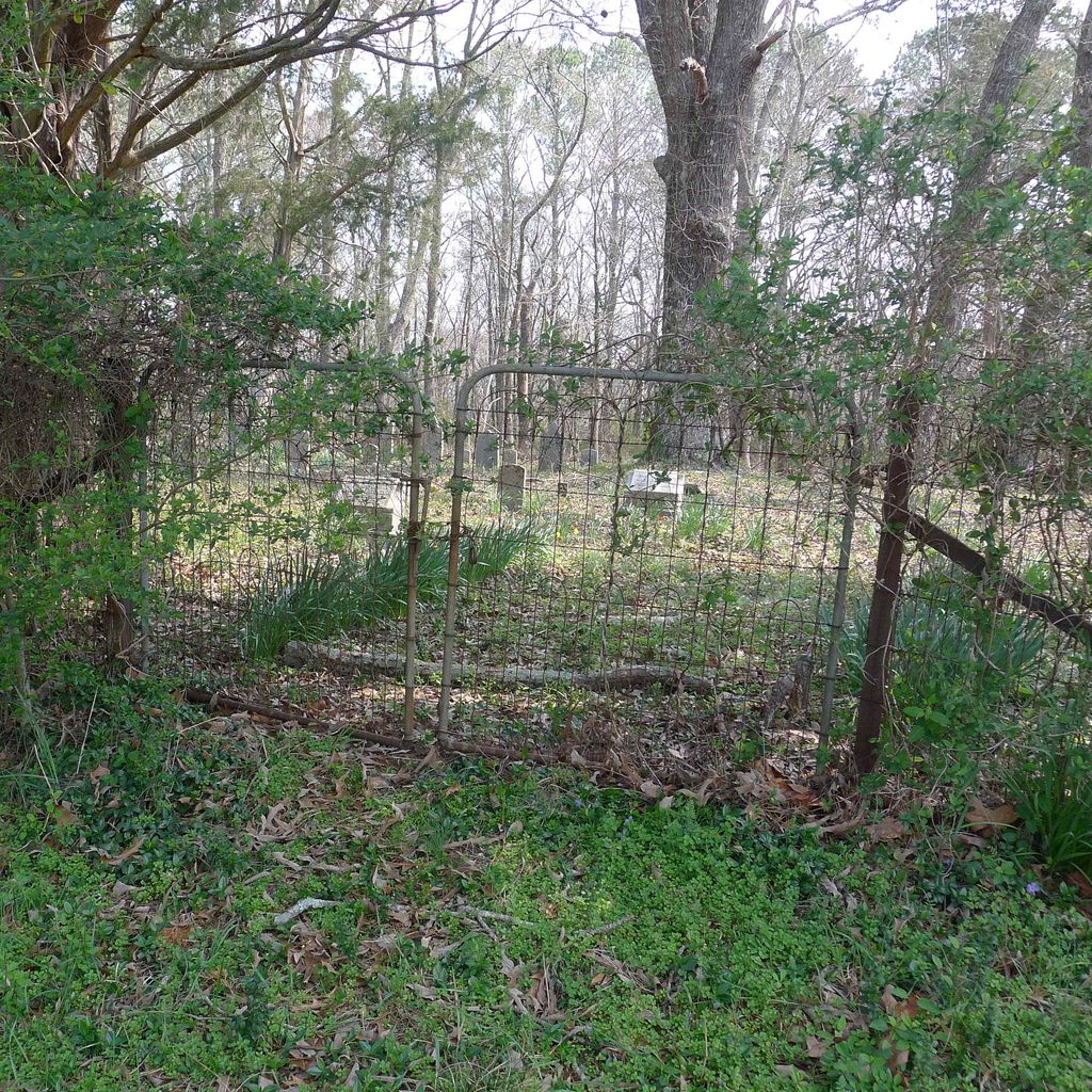
| Description | : | From Harvest, take Wall Triana Hwy North to McKee Road and turn left (west). Travel approximately 2 1/4 miles and turn right unto Creekside Dr. Stop at the blue house on the right and ask for permission to enter the property. Then drive to the end of the road on the right is a locked cattle gate. Follow the path about 300 yards to see the barn. Cemetery is fenced-in beside the barn. |
frequently asked questions (FAQ):
-
Where is Mitchell Cemetery #1?
Mitchell Cemetery #1 is located at Athens, Limestone County ,Alabama ,USA.
-
Mitchell Cemetery #1 cemetery's updated grave count on graveviews.com?
0 memorials
-
Where are the coordinates of the Mitchell Cemetery #1?
Latitude: 34.8882320
Longitude: -86.7860500

Nearby Cemetories:
1. Center Hill Cemetery
Harvest, Madison County, USA
Coordinate: 34.8739014, -86.7835999
2. Adams-Crutcher Cemetery
Madison County, USA
Coordinate: 34.9071999, -86.7835999
3. Pulley Cemetery
Harvest, Madison County, USA
Coordinate: 34.8781013, -86.7636032
4. Carroll Cemetery
Harvest, Madison County, USA
Coordinate: 34.8709330, -86.7664330
5. Booker Cemetery
Harvest, Madison County, USA
Coordinate: 34.8782997, -86.7489014
6. Hardin Cemetery
Limestone County, USA
Coordinate: 34.9166985, -86.8056030
7. Carter Cemetery
Limestone County, USA
Coordinate: 34.8558006, -86.7947006
8. Hatchett Cemetery
Limestone County, USA
Coordinate: 34.9196500, -86.7994600
9. Golightly Cemetery
Madison County, USA
Coordinate: 34.9213770, -86.7727470
10. Powers Cemetery
Harvest, Madison County, USA
Coordinate: 34.8608017, -86.7583008
11. Browning Cemetery
Harvest, Madison County, USA
Coordinate: 34.8567009, -86.7553024
12. Hall Cemetery
Limestone County, USA
Coordinate: 34.8621650, -86.8280670
13. Hutchings Cemetery
Harvest, Madison County, USA
Coordinate: 34.8443985, -86.7686005
14. Jones Cemetery
Limestone County, USA
Coordinate: 34.9291992, -86.8155975
15. J F Smith Cemetery
Madison County, USA
Coordinate: 34.8777600, -86.7234500
16. Tuck Cemetery
Harvest, Madison County, USA
Coordinate: 34.8446999, -86.7500000
17. Cummings Cemetery
East Limestone, Limestone County, USA
Coordinate: 34.8349991, -86.8011017
18. Bouldin-Hammond Cemetery
Harvest, Madison County, USA
Coordinate: 34.8553009, -86.7328033
19. Dedman Cemetery
Cluttsville, Madison County, USA
Coordinate: 34.8403015, -86.7493973
20. Johnson Cemetery
Limestone County, USA
Coordinate: 34.9432983, -86.8106003
21. Kincaid Cemetery
Madison County, USA
Coordinate: 34.8835983, -86.7146988
22. Cain Cemetery
Limestone County, USA
Coordinate: 34.8678600, -86.8532240
23. Kincaid Cemetery
Madison County, USA
Coordinate: 34.9068985, -86.7108002
24. Fords Chapel Cemetery
Harvest, Madison County, USA
Coordinate: 34.8386002, -86.7319031