
| Memorials | : | 0 |
| Location | : | Metamora, Franklin County, USA |
| Coordinate | : | 39.4508270, -85.1449950 |
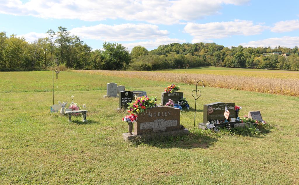
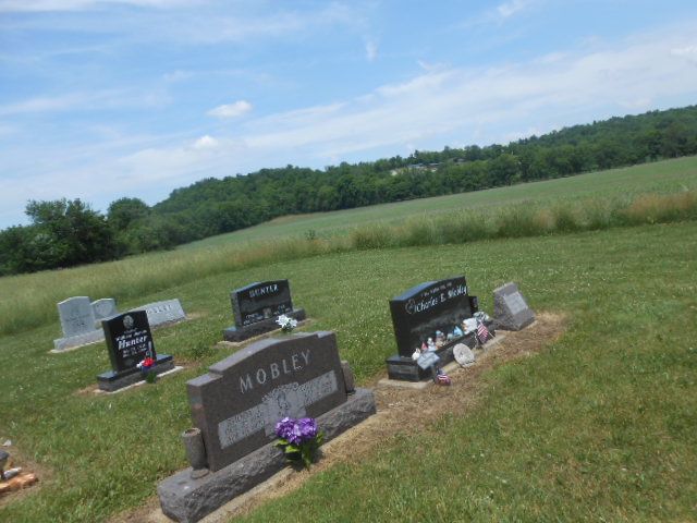
| Description | : | This cemetery is located in Metamora on the west end of US 52 before you cross the railroad track. This cemetery is sometimes incorrectly referenced as 'Mobley Addition of the Metamora Cemetery.' The Mobley Addition is NOT part of the Metamora Cemetery. |
frequently asked questions (FAQ):
-
Where is Mobley Addition Church of Christ Cemetery?
Mobley Addition Church of Christ Cemetery is located at 19159 – 19187 US 52 Metamora, Franklin County ,Indiana , 47030USA.
-
Mobley Addition Church of Christ Cemetery cemetery's updated grave count on graveviews.com?
0 memorials
-
Where are the coordinates of the Mobley Addition Church of Christ Cemetery?
Latitude: 39.4508270
Longitude: -85.1449950
Nearby Cemetories:
1. Metamora Cemetery
Metamora, Franklin County, USA
Coordinate: 39.4516449, -85.1391296
2. Murray Cemetery
Metamora, Franklin County, USA
Coordinate: 39.4653000, -85.1569000
3. Adams Cemetery
Laurel Township, Franklin County, USA
Coordinate: 39.4536591, -85.1672592
4. Senour-Gobel Cemetery
Metamora, Franklin County, USA
Coordinate: 39.4532900, -85.1704400
5. Mountain Assembly Church of God Cemetery
Metamora, Franklin County, USA
Coordinate: 39.4310200, -85.1504160
6. Cupps Chapel Cemetery
Brookville, Franklin County, USA
Coordinate: 39.4296303, -85.1640244
7. Longnecker Cemetery
Metamora, Franklin County, USA
Coordinate: 39.4386000, -85.1086000
8. Lipscomb-Baker Cemetery
Peppertown, Franklin County, USA
Coordinate: 39.4228000, -85.1686000
9. Riker Cemetery
Brookville, Franklin County, USA
Coordinate: 39.4494020, -85.0889840
10. McKendrie Cemetery
Franklin County, USA
Coordinate: 39.4665590, -85.0927430
11. Alley-Wolf Cemetery
Oak Forest, Franklin County, USA
Coordinate: 39.4103150, -85.1222770
12. Coulter Cemetery
Metamora, Franklin County, USA
Coordinate: 39.4368500, -85.2009500
13. Jenks Cemetery
Laurel, Franklin County, USA
Coordinate: 39.4827995, -85.1892014
14. Halstead Cemetery
Brookville, Franklin County, USA
Coordinate: 39.4357010, -85.0788050
15. Collett Cemetery
Yellow Bank, Franklin County, USA
Coordinate: 39.4417940, -85.0763440
16. Liberty Church Cemetery
Brookville Township, Franklin County, USA
Coordinate: 39.4149720, -85.0920000
17. Saint Nicholas Cemetery
Peppertown, Franklin County, USA
Coordinate: 39.4025002, -85.1785965
18. Peppertown Cemetery
Peppertown, Franklin County, USA
Coordinate: 39.4018320, -85.1786880
19. Chance Cemetery
Laurel, Franklin County, USA
Coordinate: 39.5025000, -85.1717000
20. Jim Run Road Cemetery
Blooming Grove Township, Franklin County, USA
Coordinate: 39.5070600, -85.1190410
21. Conwell Cemetery
Laurel, Franklin County, USA
Coordinate: 39.5047070, -85.1850450
22. Calpha Cemetery
Brookville, Franklin County, USA
Coordinate: 39.4260990, -85.0706760
23. Wilson Cemetery
Yellow Bank, Franklin County, USA
Coordinate: 39.4303000, -85.0683000
24. Saint Raphael Cemetery
Laurel, Franklin County, USA
Coordinate: 39.5042750, -85.1878510