
| Memorials | : | 0 |
| Location | : | Metamora, Franklin County, USA |
| Coordinate | : | 39.4532900, -85.1704400 |
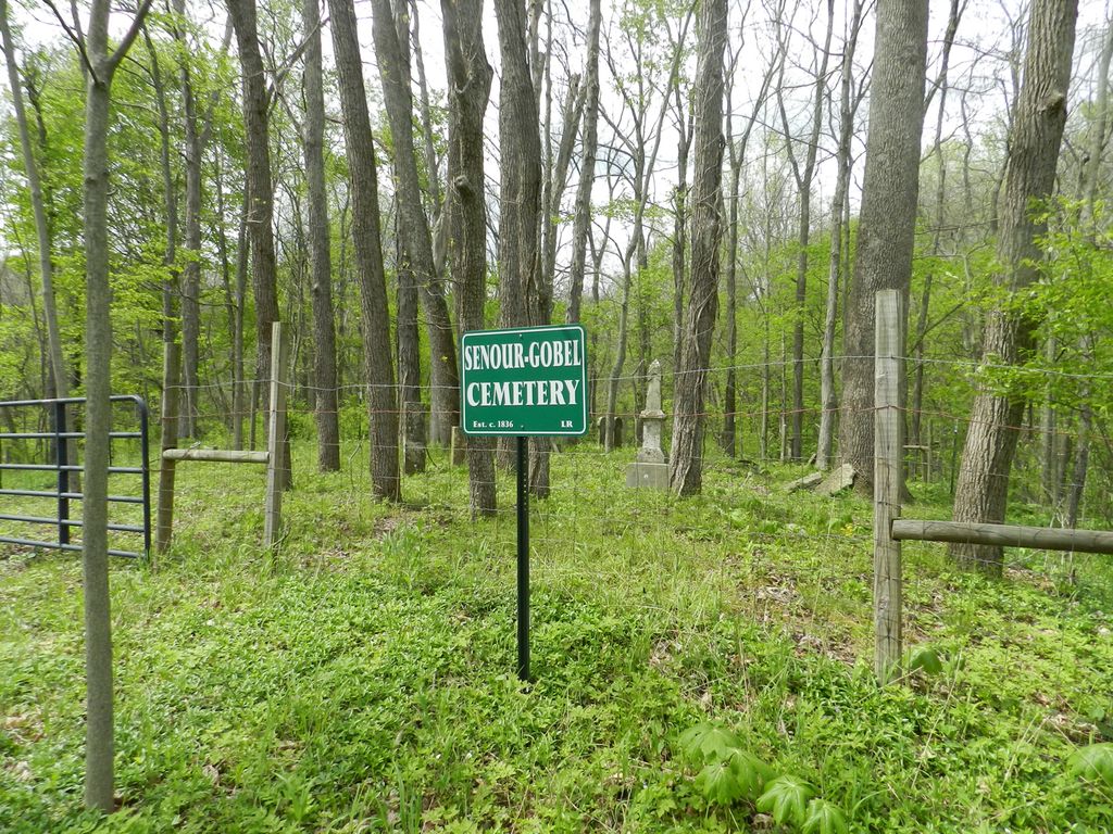
| Description | : | There is a small path leading up the hill to the cemetery. It begins near the barn like building. The cemetery is located in Laurel Township (NW quadrant of the NE quadrant of the NE quadrant of Section 34 Township 12N Range 12E) on the north side of US 52 about 1.0 mile west of its intersection with Indiana State Highway 229. Indiana Cemetery Locations, Volume 4, published by the Indiana Genealogical Society (April 2009), gives the primary cemetery name as Gobel Cemetery with an alternate name of Senour Cemetery. The cemetery is listed in the Cemetery and Burial Grounds Registry of the... Read More |
frequently asked questions (FAQ):
-
Where is Senour-Gobel Cemetery?
Senour-Gobel Cemetery is located at 21047 US 52 Metamora, Franklin County ,Indiana , 47024USA.
-
Senour-Gobel Cemetery cemetery's updated grave count on graveviews.com?
0 memorials
-
Where are the coordinates of the Senour-Gobel Cemetery?
Latitude: 39.4532900
Longitude: -85.1704400
Nearby Cemetories:
1. Adams Cemetery
Laurel Township, Franklin County, USA
Coordinate: 39.4536591, -85.1672592
2. Murray Cemetery
Metamora, Franklin County, USA
Coordinate: 39.4653000, -85.1569000
3. Mobley Addition Church of Christ Cemetery
Metamora, Franklin County, USA
Coordinate: 39.4508270, -85.1449950
4. Cupps Chapel Cemetery
Brookville, Franklin County, USA
Coordinate: 39.4296303, -85.1640244
5. Metamora Cemetery
Metamora, Franklin County, USA
Coordinate: 39.4516449, -85.1391296
6. Mountain Assembly Church of God Cemetery
Metamora, Franklin County, USA
Coordinate: 39.4310200, -85.1504160
7. Coulter Cemetery
Metamora, Franklin County, USA
Coordinate: 39.4368500, -85.2009500
8. Lipscomb-Baker Cemetery
Peppertown, Franklin County, USA
Coordinate: 39.4228000, -85.1686000
9. Jenks Cemetery
Laurel, Franklin County, USA
Coordinate: 39.4827995, -85.1892014
10. Simpson Cemetery
Midway, Franklin County, USA
Coordinate: 39.4466000, -85.2284000
11. Stipps Hill Cemetery
Franklin County, USA
Coordinate: 39.4364014, -85.2253036
12. Chance Cemetery
Laurel, Franklin County, USA
Coordinate: 39.5025000, -85.1717000
13. Longnecker Cemetery
Metamora, Franklin County, USA
Coordinate: 39.4386000, -85.1086000
14. Saint Nicholas Cemetery
Peppertown, Franklin County, USA
Coordinate: 39.4025002, -85.1785965
15. Peppertown Cemetery
Peppertown, Franklin County, USA
Coordinate: 39.4018320, -85.1786880
16. Bowman Cemetery
Salt Creek Township, Franklin County, USA
Coordinate: 39.4127998, -85.2136002
17. Conwell Cemetery
Laurel, Franklin County, USA
Coordinate: 39.5047070, -85.1850450
18. Saint Raphael Cemetery
Laurel, Franklin County, USA
Coordinate: 39.5042750, -85.1878510
19. Alley-Wolf Cemetery
Oak Forest, Franklin County, USA
Coordinate: 39.4103150, -85.1222770
20. McKendrie Cemetery
Franklin County, USA
Coordinate: 39.4665590, -85.0927430
21. Riker Cemetery
Brookville, Franklin County, USA
Coordinate: 39.4494020, -85.0889840
22. Marlin Cemetery
Franklin County, USA
Coordinate: 39.3946991, -85.2086029
23. Jim Run Road Cemetery
Blooming Grove Township, Franklin County, USA
Coordinate: 39.5070600, -85.1190410
24. Bochim Cemetery
Laurel, Franklin County, USA
Coordinate: 39.5203450, -85.1757820