
| Memorials | : | 1 |
| Location | : | Mason, Bayfield County, USA |
| Coordinate | : | 46.3789200, -90.9498900 |
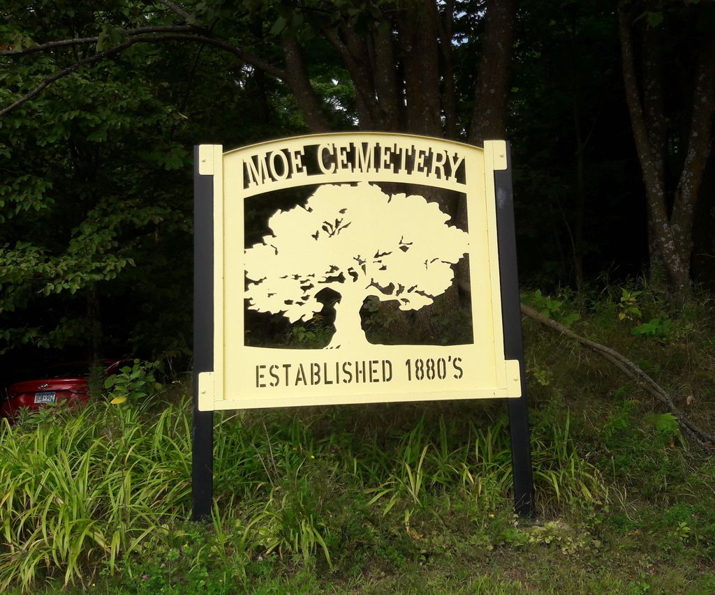
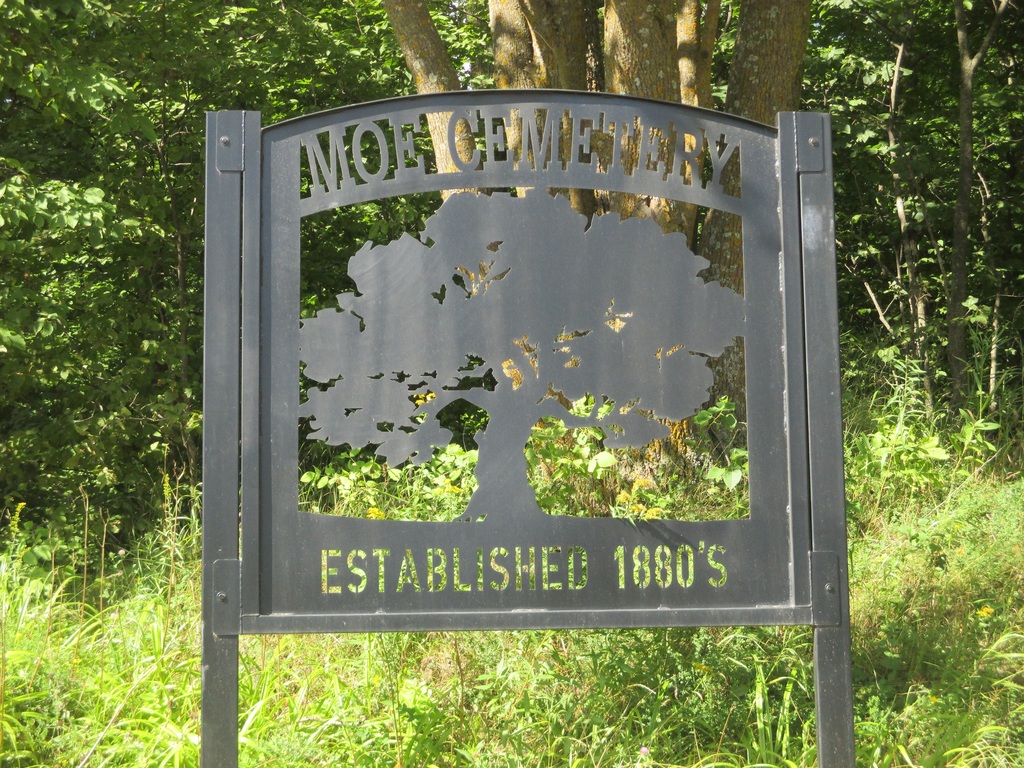
| Description | : | Under the auspices of the 1862 Homestead Act, Martinus and Amelia Moe, Norwegian immigrants, were granted a land patent in 1888. In June of 1886, Martinus provided proof of having continuously lived for five years with his wife and nine children on their 160 acres. Two of their children, Hannah and Peter, passed away a couple of years later and were buried on the property. Thus began the Moe Cemetery. The first recorded burial in the Moe Cemetery was July 2, 1889, conducted by Rev. J.D. Nelsenius. Many burials of persons living and working in the neighborhood followed. In 1906... Read More |
frequently asked questions (FAQ):
-
Where is Moe Cemetery?
Moe Cemetery is located at 29760 Four Corners Store Road Mason, Bayfield County ,Wisconsin , 54856USA.
-
Moe Cemetery cemetery's updated grave count on graveviews.com?
1 memorials
-
Where are the coordinates of the Moe Cemetery?
Latitude: 46.3789200
Longitude: -90.9498900
Nearby Cemetories:
1. Birch Lake Cemetery
Mason, Bayfield County, USA
Coordinate: 46.3569603, -90.9666595
2. Moland Lutheran Church Cemetery
Mason, Bayfield County, USA
Coordinate: 46.4131012, -90.9897995
3. Saint Anne Catholic Cemetery
Sanborn, Ashland County, USA
Coordinate: 46.4294281, -90.9071426
4. Maple Grove Cemetery
Marengo, Ashland County, USA
Coordinate: 46.3852997, -90.8606033
5. Old Apostolic Lutheran Cemetery
Marengo, Ashland County, USA
Coordinate: 46.4408640, -90.8473530
6. Mason Cemetery
Mason, Bayfield County, USA
Coordinate: 46.4401800, -91.0555800
7. Grand View Cemetery
Grand View, Bayfield County, USA
Coordinate: 46.3650017, -91.1091003
8. Mount Hope Cemetery
High Bridge, Ashland County, USA
Coordinate: 46.3859700, -90.7353300
9. Benoit Cemetery
Benoit, Bayfield County, USA
Coordinate: 46.5026016, -91.0794983
10. Saint Peters Cemetery
Benoit, Bayfield County, USA
Coordinate: 46.5236015, -91.0781021
11. B'Nai Israel Cemetery
Ashland, Ashland County, USA
Coordinate: 46.5600014, -90.9116974
12. Saint Agnes Cemetery
Ashland, Ashland County, USA
Coordinate: 46.5614014, -90.9075012
13. Mount Hope Cemetery
Ashland, Ashland County, USA
Coordinate: 46.5621986, -90.9039001
14. Fish Creek Cemetery
Ino, Bayfield County, USA
Coordinate: 46.5241165, -91.1252823
15. Mellen Union Cemetery
Mellen, Ashland County, USA
Coordinate: 46.3294800, -90.6621800
16. Saint Florians Cemetery
Ino, Bayfield County, USA
Coordinate: 46.5161438, -91.1750412
17. Moquah National Cemetery
Moquah, Bayfield County, USA
Coordinate: 46.5702860, -91.0718390
18. Moquah Cemetery
Moquah, Bayfield County, USA
Coordinate: 46.5701980, -91.0731530
19. Saints Peter and Paul Catholic Cemetery
Moquah, Bayfield County, USA
Coordinate: 46.5698013, -91.0842972
20. Drummond Cemetery
Drummond, Bayfield County, USA
Coordinate: 46.3354607, -91.2533188
21. Clam Lake Cemetery
Clam Lake, Ashland County, USA
Coordinate: 46.1664009, -90.9058990
22. Delta Cemetery
Delta, Bayfield County, USA
Coordinate: 46.4729500, -91.2398911
23. Cayuga Union Cemetery
Cayuga, Ashland County, USA
Coordinate: 46.2522011, -90.6802979
24. Heitsch Family Burial Plot
Barksdale, Bayfield County, USA
Coordinate: 46.6315661, -90.9560996