
| Memorials | : | 0 |
| Location | : | Moquah, Bayfield County, USA |
| Coordinate | : | 46.5702860, -91.0718390 |
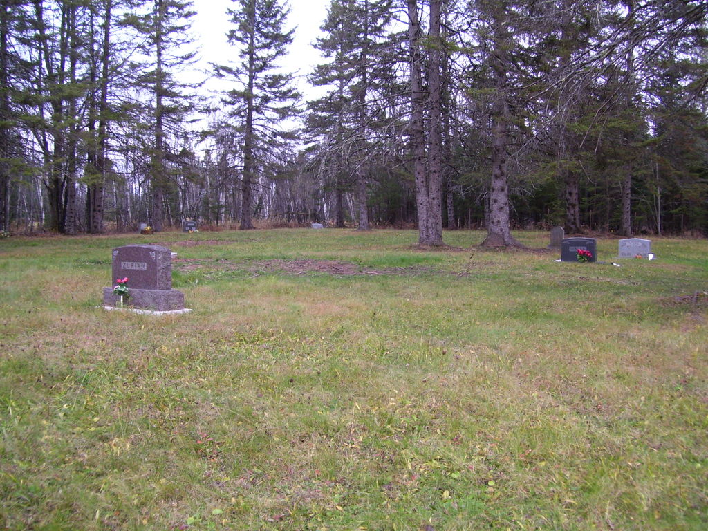
| Description | : | This is one of the two cemeteries, located near the end of Moquah Cemetery Road. The two cemeteries are seperated by a field. This cemetery is the smaller of the two (on this road), and this is a Public cemetery. Whereas the other cemetery on this road (the larger one) is a Catholic cemetery. To get to this cemetery, drive past the Catholic cemetery, and into the wooded area (past the field). This is where "Moquah National Cemetery" is located. |
frequently asked questions (FAQ):
-
Where is Moquah National Cemetery?
Moquah National Cemetery is located at Moquah Cemetery Road Moquah, Bayfield County ,Wisconsin ,USA.
-
Moquah National Cemetery cemetery's updated grave count on graveviews.com?
0 memorials
-
Where are the coordinates of the Moquah National Cemetery?
Latitude: 46.5702860
Longitude: -91.0718390
Nearby Cemetories:
1. Moquah Cemetery
Moquah, Bayfield County, USA
Coordinate: 46.5701980, -91.0731530
2. Saints Peter and Paul Catholic Cemetery
Moquah, Bayfield County, USA
Coordinate: 46.5698013, -91.0842972
3. Saint Peters Cemetery
Benoit, Bayfield County, USA
Coordinate: 46.5236015, -91.0781021
4. Fish Creek Cemetery
Ino, Bayfield County, USA
Coordinate: 46.5241165, -91.1252823
5. Benoit Cemetery
Benoit, Bayfield County, USA
Coordinate: 46.5026016, -91.0794983
6. Saint Florians Cemetery
Ino, Bayfield County, USA
Coordinate: 46.5161438, -91.1750412
7. Heitsch Family Burial Plot
Barksdale, Bayfield County, USA
Coordinate: 46.6315661, -90.9560996
8. Church Corner Cemetery
Washburn, Bayfield County, USA
Coordinate: 46.6595000, -90.9889000
9. B'Nai Israel Cemetery
Ashland, Ashland County, USA
Coordinate: 46.5600014, -90.9116974
10. Saint Agnes Cemetery
Ashland, Ashland County, USA
Coordinate: 46.5614014, -90.9075012
11. Mount Hope Cemetery
Ashland, Ashland County, USA
Coordinate: 46.5621986, -90.9039001
12. Mason Cemetery
Mason, Bayfield County, USA
Coordinate: 46.4401800, -91.0555800
13. Delta Cemetery
Delta, Bayfield County, USA
Coordinate: 46.4729500, -91.2398911
14. Woodland Cemetery
Washburn, Bayfield County, USA
Coordinate: 46.6845100, -90.9049800
15. Calvary Cemetery
Washburn, Bayfield County, USA
Coordinate: 46.6852989, -90.9008026
16. Moland Lutheran Church Cemetery
Mason, Bayfield County, USA
Coordinate: 46.4131012, -90.9897995
17. Saint Anne Catholic Cemetery
Sanborn, Ashland County, USA
Coordinate: 46.4294281, -90.9071426
18. Old Calvary Cemetery
Washburn, Bayfield County, USA
Coordinate: 46.7072906, -90.8947830
19. Old Apostolic Lutheran Cemetery
Marengo, Ashland County, USA
Coordinate: 46.4408640, -90.8473530
20. Valley View Cemetery
Iron River, Bayfield County, USA
Coordinate: 46.6227989, -91.3600006
21. Grand View Cemetery
Grand View, Bayfield County, USA
Coordinate: 46.3650017, -91.1091003
22. Moe Cemetery
Mason, Bayfield County, USA
Coordinate: 46.3789200, -90.9498900
23. Iron River City Cemetery
Iron River, Bayfield County, USA
Coordinate: 46.5668983, -91.3981018
24. Birch Lake Cemetery
Mason, Bayfield County, USA
Coordinate: 46.3569603, -90.9666595