
| Memorials | : | 270 |
| Location | : | Mogo, Eurobodalla Shire, Australia |
| Coordinate | : | -35.7908860, 150.1366900 |
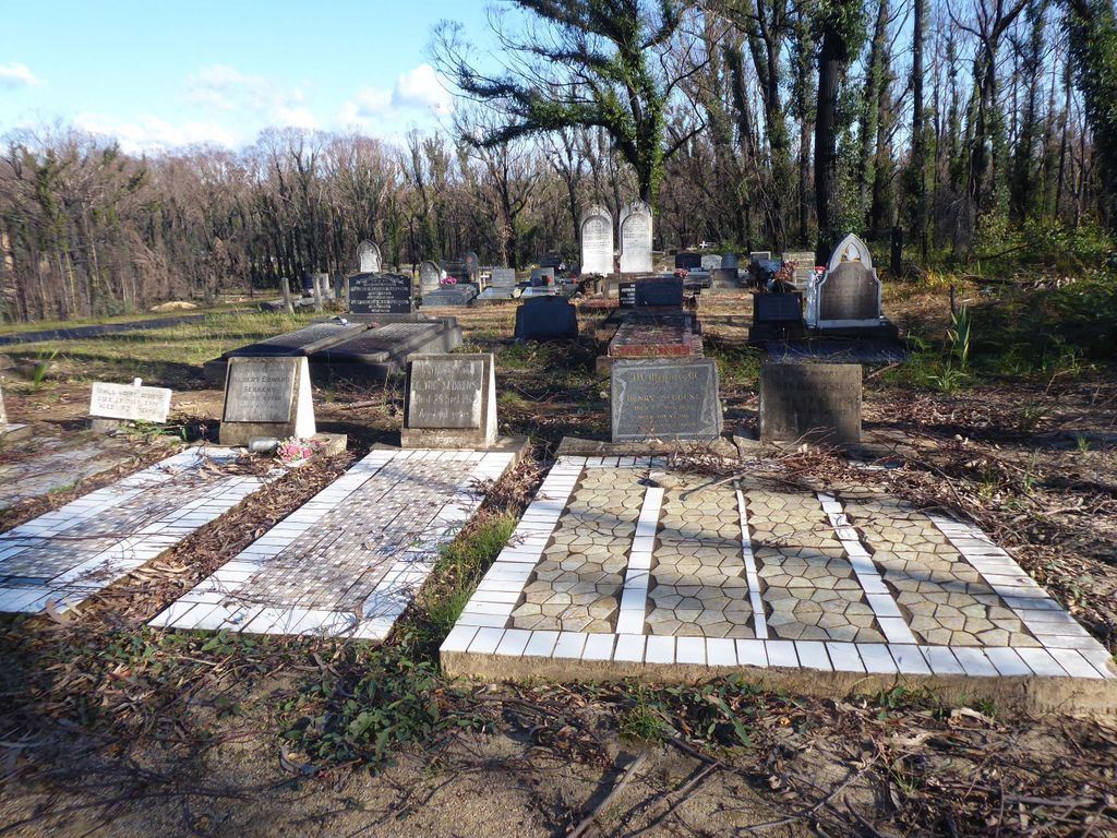
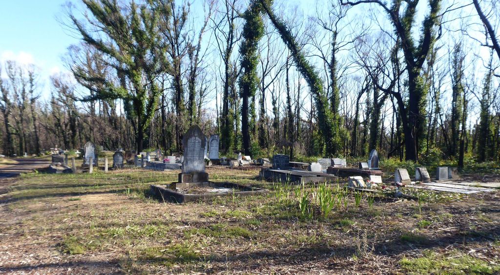
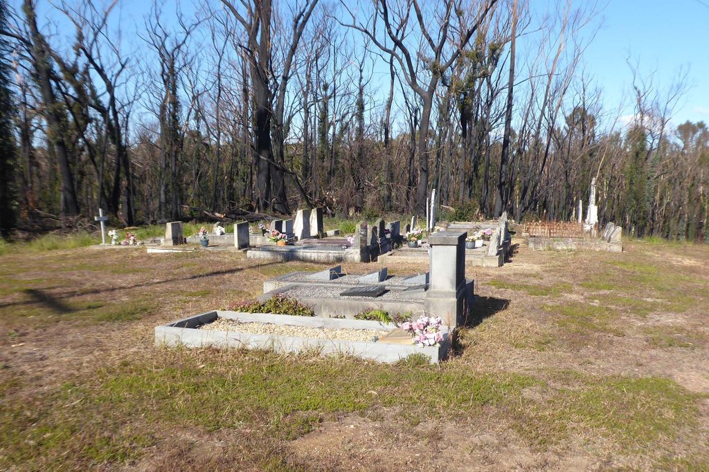
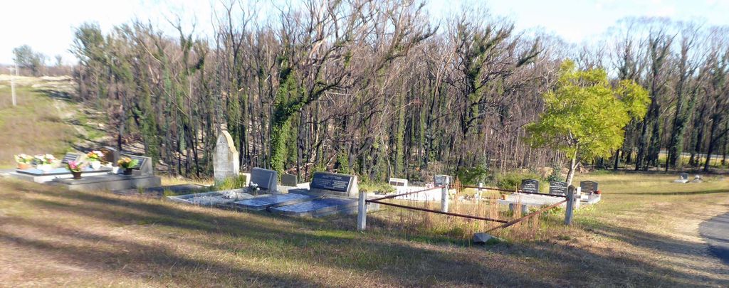
| Description | : | Mogo Cemetery dates from the earliest period of settlement of the Broulee area following the demise of the Broulee town settlement. It has regional historic significance for providing records of the families who have settled in the local area for nearly 140 years and for its unique role as a children's burial ground for forty years until 1897, when the adult Mogo community were no longer buried only at Moruya. Socially it has high-level local significance to the Mogo area descendants of those buried there for its special cultural and educational values and association. It has local scientific significance for... Read More |
frequently asked questions (FAQ):
-
Where is Mogo General Cemetery?
Mogo General Cemetery is located at Mogo, Eurobodalla Shire ,New South Wales ,Australia.
-
Mogo General Cemetery cemetery's updated grave count on graveviews.com?
270 memorials
-
Where are the coordinates of the Mogo General Cemetery?
Latitude: -35.7908860
Longitude: 150.1366900
Nearby Cemetories:
1. Mogo Old Church of England Cemetery
Mogo, Eurobodalla Shire, Australia
Coordinate: -35.7851910, 150.1409350
2. Tomakin Cemetery
Tomakin, Eurobodalla Shire, Australia
Coordinate: -35.8297010, 150.1930720
3. Broulee Memorial Gardens & Crematorium
Broulee, Eurobodalla Shire, Australia
Coordinate: -35.8550440, 150.1430800
4. Batemans Bay Cemetery
Batemans Bay, Eurobodalla Shire, Australia
Coordinate: -35.7207690, 150.1756980
5. Mrs Abraham Malebers Grave
Broulee, Eurobodalla Shire, Australia
Coordinate: -35.8563090, 150.1894210
6. Batemans Bay Old Anglican Cemetery
Batemans Bay, Eurobodalla Shire, Australia
Coordinate: -35.7166672, 150.1833344
7. Batemans Bay Old Catholic
Batemans Bay, Eurobodalla Shire, Australia
Coordinate: -35.7093950, 150.1764310
8. Batemans Bay Historic Cemetery
Batemans Bay, Eurobodalla Shire, Australia
Coordinate: -35.7089400, 150.1762900
9. Glenduart Cemetery
Moruya, Eurobodalla Shire, Australia
Coordinate: -35.8896350, 150.0670760
10. Moruya Heads Cemetery
Moruya Heads, Eurobodalla Shire, Australia
Coordinate: -35.9087270, 150.1612160
11. Nelligen Cemetery
Nelligen, Eurobodalla Shire, Australia
Coordinate: -35.6516110, 150.1338960
12. Lucks Cemetery
Moruya, Eurobodalla Shire, Australia
Coordinate: -35.9085890, 150.0426920
13. Moruya Cemetery
Moruya, Eurobodalla Shire, Australia
Coordinate: -35.9233510, 150.0755760
14. Nelligen Church Of England Cemetery Former
Nelligen, Eurobodalla Shire, Australia
Coordinate: -35.6477114, 150.1387833
15. Kiora Cemetery
Kiora, Eurobodalla Shire, Australia
Coordinate: -35.9167050, 150.0411770
16. Congo Point Colonial Grave
Congo Park, Eurobodalla Shire, Australia
Coordinate: -35.9559590, 150.1580970
17. Frederic Lester-Blanchard Lone Grave
Eurobodalla Shire, Australia
Coordinate: -35.9330700, 149.9278000
18. Currowan Cemetery
Currowan, Eurobodalla Shire, Australia
Coordinate: -35.5765330, 150.0580070
19. Bingi Bingi Brinja Aboriginal massacre site
Bergalia, Eurobodalla Shire, Australia
Coordinate: -36.0214600, 150.1511990
20. Araluen Catholic Cemetery
Araluen, Queanbeyan–Palerang Regional Council, Australia
Coordinate: -35.6340000, 149.8228333
21. Bodalla General Cemetery
Bodalla, Eurobodalla Shire, Australia
Coordinate: -36.0833321, 150.0500031
22. Araluen Church of England Cemetery
Araluen, Queanbeyan–Palerang Regional Council, Australia
Coordinate: -35.6110340, 149.7795490
23. Eurobodalla Graves
Eurobodalla Shire, Australia
Coordinate: -36.1394800, 149.9812190
24. Old Nerrigundah Cemetery
Nerrigundah, Eurobodalla Shire, Australia
Coordinate: -36.1213440, 149.9102380