| Memorials | : | 10 |
| Location | : | Montgomery, Franklin County, USA |
| Coordinate | : | 44.8826900, -72.6129900 |
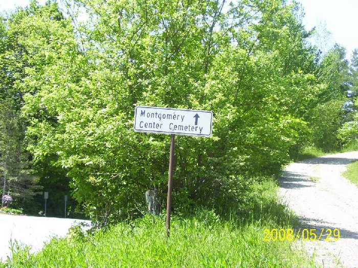
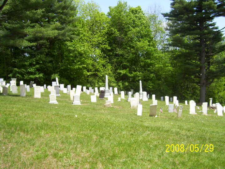
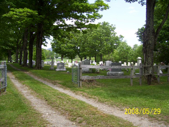
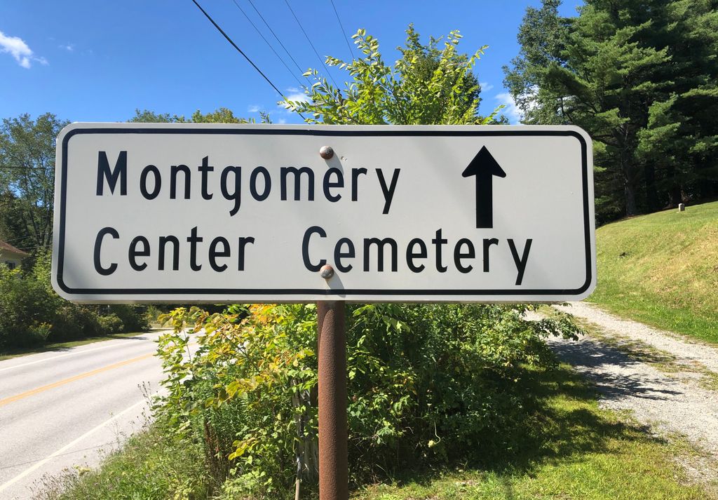
| Description | : | Montgomery Center cemetery has a lower and upper section. The lower section has the older burials, and upper has the new burials plus numerous burials done in the later 1800's. Both sections are in very good condition. Photographed May 2008, bjd. |
frequently asked questions (FAQ):
-
Where is Montgomery Center Cemetery?
Montgomery Center Cemetery is located at Montgomery, Franklin County ,Vermont ,USA.
-
Montgomery Center Cemetery cemetery's updated grave count on graveviews.com?
8 memorials
-
Where are the coordinates of the Montgomery Center Cemetery?
Latitude: 44.8826900
Longitude: -72.6129900
Nearby Cemetories:
1. Saint Isidore Catholic Cemetery
Franklin County, USA
Coordinate: 44.8800600, -72.6037000
2. Old Montgomery Cemetery
Montgomery, Franklin County, USA
Coordinate: 44.9004900, -72.6368500
3. Montgomery Village Cemetery
Montgomery, Franklin County, USA
Coordinate: 44.9020000, -72.6366600
4. Hill West Cemetery
Montgomery, Franklin County, USA
Coordinate: 44.8562480, -72.6572540
5. South Richford Cemetery
South Richford, Franklin County, USA
Coordinate: 44.9328200, -72.6514700
6. East Berkshire Congregational Cemetery
East Berkshire, Franklin County, USA
Coordinate: 44.9316200, -72.7037600
7. East Berkshire Episcopal Cemetery
East Berkshire, Franklin County, USA
Coordinate: 44.9312000, -72.7170600
8. East Enosburgh Cemetery
East Enosburg, Franklin County, USA
Coordinate: 44.8542560, -72.7352210
9. Richford Center Cemetery
Richford, Franklin County, USA
Coordinate: 44.9737800, -72.6502900
10. Enosburgh Center Cemetery
Enosburg Center, Franklin County, USA
Coordinate: 44.8720200, -72.7549000
11. Cook Cemetery
Bakersfield, Franklin County, USA
Coordinate: 44.8178400, -72.7310200
12. Stevens Ferry Cemetery
Enosburg, Franklin County, USA
Coordinate: 44.9209700, -72.7535500
13. Burroughs Family Cemetery
Belvidere, Lamoille County, USA
Coordinate: 44.7736702, -72.6120300
14. All Saints Catholic Cemetery
Richford, Franklin County, USA
Coordinate: 44.9886700, -72.6793300
15. Troy Street Cemetery
Richford, Franklin County, USA
Coordinate: 44.9913800, -72.6715400
16. Barnett Monument Cemetery
Richford, Franklin County, USA
Coordinate: 45.0011562, -72.6134585
17. West Jay Cemetery
Jay, Orleans County, USA
Coordinate: 44.9968990, -72.5509210
18. Hillside Cemetery
Richford, Franklin County, USA
Coordinate: 45.0017000, -72.6590100
19. Saint John the Baptist Cemetery New
Enosburg Falls, Franklin County, USA
Coordinate: 44.9026200, -72.7890600
20. East Richford Cemetery
East Richford, Franklin County, USA
Coordinate: 45.0111500, -72.5831400
21. North Hill Cemetery
Westfield, Orleans County, USA
Coordinate: 44.9056800, -72.4309800
22. Westfield Association Cemetery
Westfield, Orleans County, USA
Coordinate: 44.8793800, -72.4266900
23. Missisquoi Cemetery
Enosburg Falls, Franklin County, USA
Coordinate: 44.9091200, -72.7963700
24. Saint John the Baptist Cemetery Old
Enosburg Falls, Franklin County, USA
Coordinate: 44.9072600, -72.8012700


