
| Memorials | : | 0 |
| Location | : | Aylesworth, Marshall County, USA |
| Coordinate | : | 34.0377800, -96.6388900 |
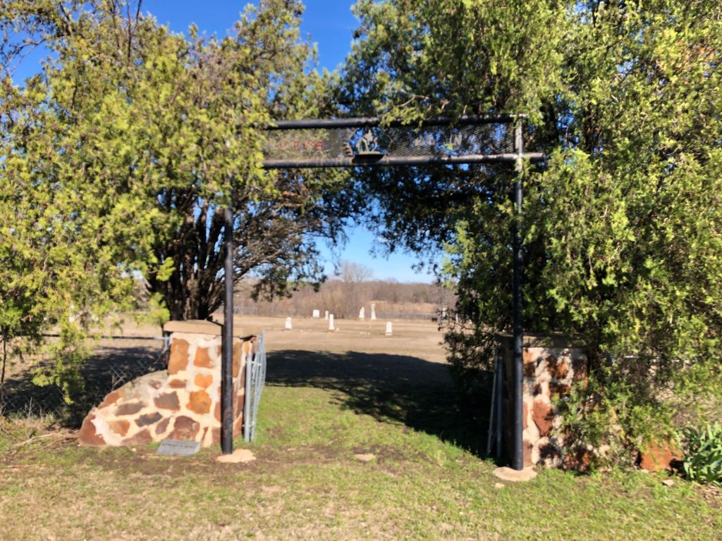
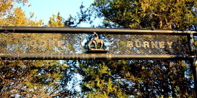
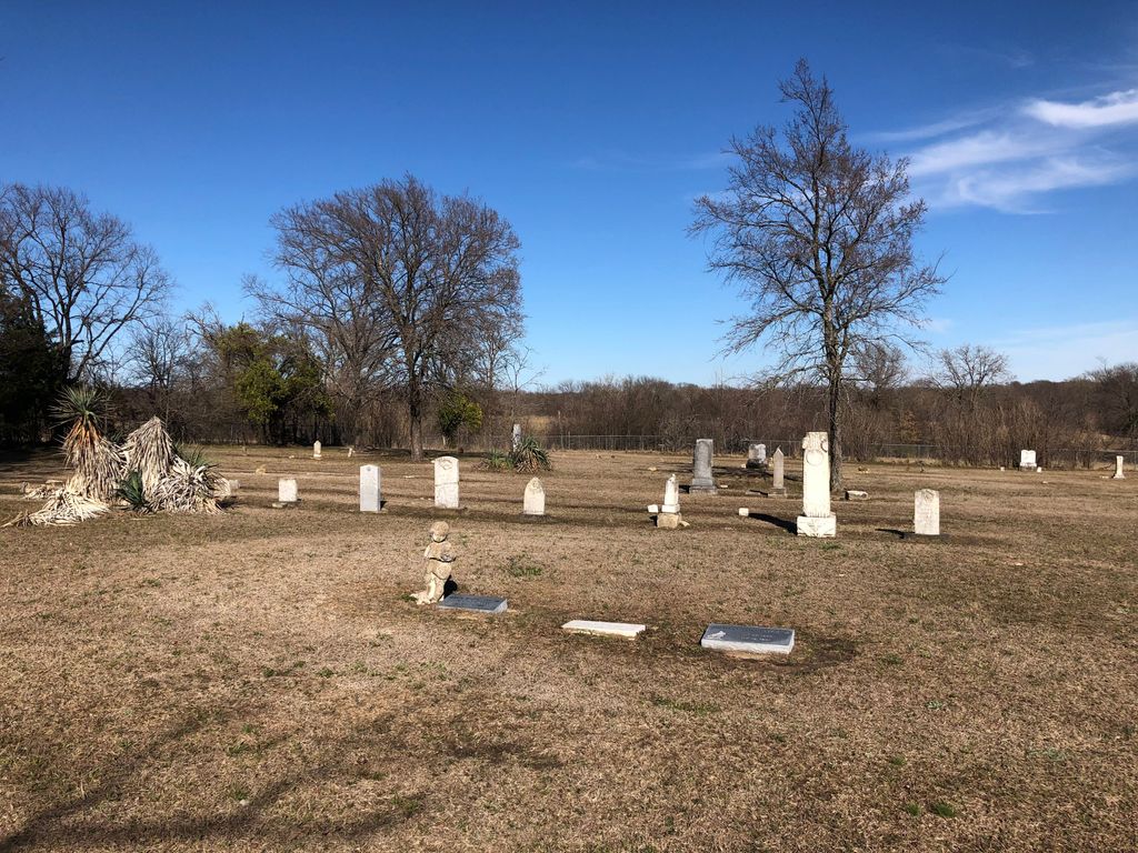
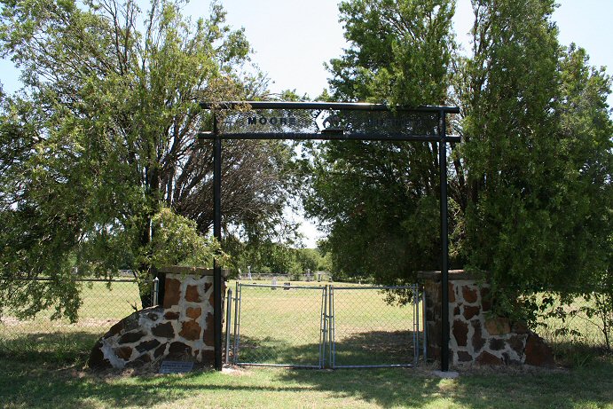
| Description | : | Moore Burney Cemetery is located appoximately three miles west and one-half mile north of Aylesworth in Section 13, Township 6 South, Range 6 East in Marshall County, Oklahoma. During the construction of Lake Texoma, several cemeteries were relocated. Some of the moved bodies were reinterred in the Moore Burney Cemetery. Two cemeteries that were moved to the Moore Burney Cemetery include: Moore Indian Cemetery - Section 17, Township 5 South, Range 7 East Old Burney Cemetery - Section 17, Township 6 South, Range 7 East |
frequently asked questions (FAQ):
-
Where is Moore Burney Cemetery?
Moore Burney Cemetery is located at Aylesworth, Marshall County ,Oklahoma ,USA.
-
Moore Burney Cemetery cemetery's updated grave count on graveviews.com?
0 memorials
-
Where are the coordinates of the Moore Burney Cemetery?
Latitude: 34.0377800
Longitude: -96.6388900
Nearby Cemetories:
1. Aylesworth Cemetery
Aylesworth, Marshall County, USA
Coordinate: 34.0275200, -96.6173600
2. Cliff Cemetery
Kingston, Marshall County, USA
Coordinate: 34.0317001, -96.6917038
3. Cumberland Cemetery
Cumberland, Marshall County, USA
Coordinate: 34.0707000, -96.5982300
4. Bald Knob Cemetery
Kingston, Marshall County, USA
Coordinate: 33.9967003, -96.6735992
5. Knob Hill Cemetery
Marshall County, USA
Coordinate: 33.9963303, -96.6745682
6. Kingston Cemetery
Kingston, Marshall County, USA
Coordinate: 34.0022300, -96.7175900
7. Hainline Cemetery
McBride, Marshall County, USA
Coordinate: 33.9444300, -96.6392400
8. Confederate Cemetery
Fort Washita, Bryan County, USA
Coordinate: 34.1030998, -96.5516968
9. Linn Cemetery
Linn, Marshall County, USA
Coordinate: 34.1349983, -96.6264038
10. Woodville Cemetery
McBride, Marshall County, USA
Coordinate: 33.9392014, -96.6369019
11. Fort Washita Post Cemetery
Fort Washita, Bryan County, USA
Coordinate: 34.1051800, -96.5456800
12. Colbert Family Cemetery
Fort Washita, Bryan County, USA
Coordinate: 34.1056600, -96.5455700
13. Madill Cemetery
Madill, Marshall County, USA
Coordinate: 34.0712200, -96.7574700
14. Old Woodville Cemetery
McBride, Marshall County, USA
Coordinate: 33.9343300, -96.6195300
15. Kingston Rural Cemetery
Kingston, Marshall County, USA
Coordinate: 33.9335814, -96.6189436
16. Mead Cemetery
Mead, Bryan County, USA
Coordinate: 33.9906006, -96.5243988
17. Woodberry Forest Cemetery
Madill, Marshall County, USA
Coordinate: 34.0755997, -96.7602997
18. Isom Springs Cemetery
McBride, Marshall County, USA
Coordinate: 33.9289017, -96.6727982
19. Love Cemetery
Bryan County, USA
Coordinate: 33.9522018, -96.5449982
20. Franklin Cemetery
Bryan County, USA
Coordinate: 33.9636002, -96.5222015
21. Bee Cemetery
Bee, Johnston County, USA
Coordinate: 34.1436005, -96.5571976
22. Harrison Cemetery
Mead, Bryan County, USA
Coordinate: 33.9797000, -96.4997600
23. Silo Restland Cemetery
Silo, Bryan County, USA
Coordinate: 34.0405900, -96.4785400
24. Oakland Cemetery
Oakland, Marshall County, USA
Coordinate: 34.1007800, -96.7833300