
| Memorials | : | 2 |
| Location | : | Mill Spring, Polk County, USA |
| Coordinate | : | 35.3141000, -82.0907500 |
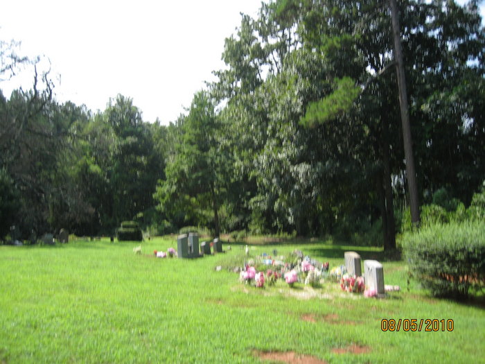
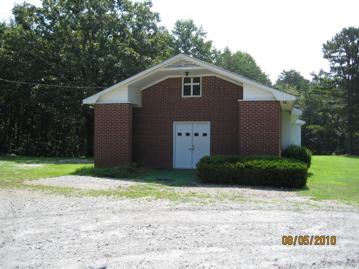
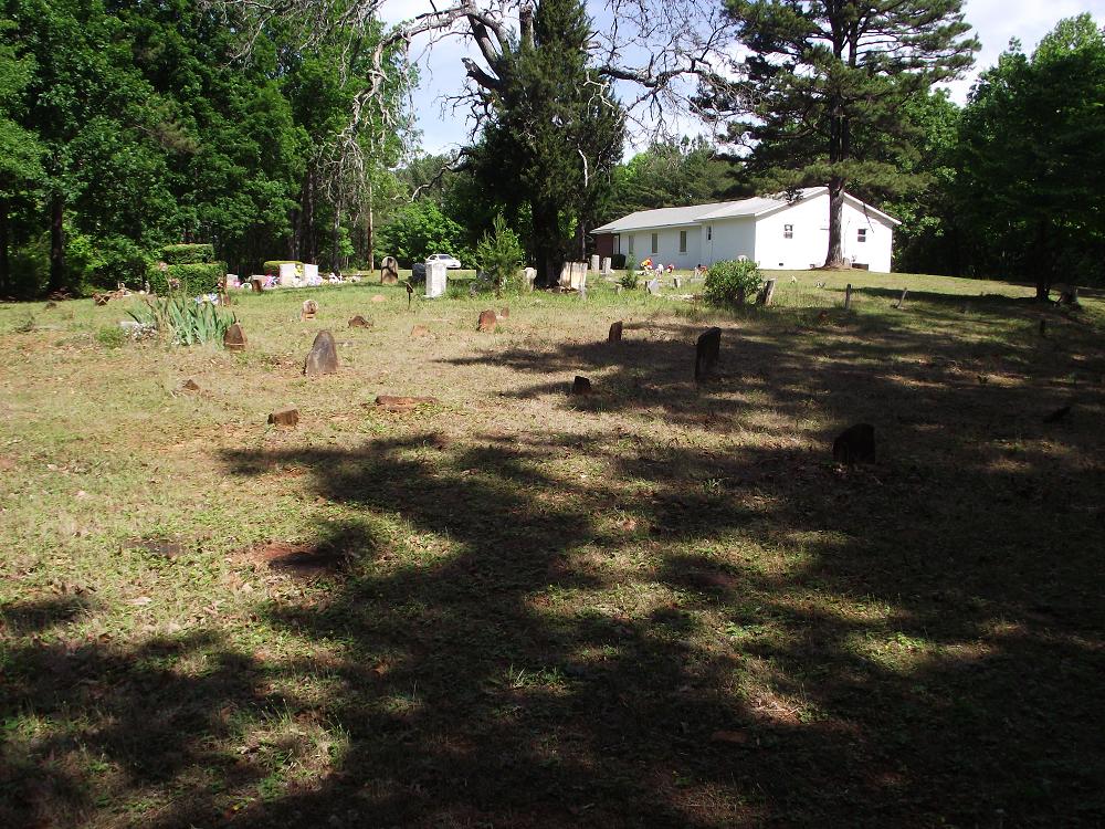
| Description | : | Moores Grove Baptist Church Pea Ridge Road Mill Spring, NC Telephone: (828) 894-5141 |
frequently asked questions (FAQ):
-
Where is Moores Grove Baptist Church Cemetery?
Moores Grove Baptist Church Cemetery is located at 209 Robertson Road Mill Spring, Polk County ,North Carolina ,USA.
-
Moores Grove Baptist Church Cemetery cemetery's updated grave count on graveviews.com?
2 memorials
-
Where are the coordinates of the Moores Grove Baptist Church Cemetery?
Latitude: 35.3141000
Longitude: -82.0907500
Nearby Cemetories:
1. Manus Chapel
Mill Spring, Polk County, USA
Coordinate: 35.3206400, -82.0967530
2. Pea Ridge Baptist Church Cemetery
Mill Spring, Polk County, USA
Coordinate: 35.3205900, -82.0996800
3. Byars Baptist Church Cemetery
Pea Ridge, Polk County, USA
Coordinate: 35.3250520, -82.1153570
4. Wheat Creek Baptist Cemetery
Mill Spring, Polk County, USA
Coordinate: 35.2878900, -82.0678900
5. Beulah Baptist Church Cemetery
Mill Spring, Polk County, USA
Coordinate: 35.2838800, -82.1125980
6. Pleasant Grove Baptist Church Cemetery
Polk County, USA
Coordinate: 35.3560982, -82.0905991
7. Gray's Chapel Cemetery
Rutherfordton, Rutherford County, USA
Coordinate: 35.3138150, -82.0380630
8. Lebanon Methodist Church Cemetery
Mill Spring, Polk County, USA
Coordinate: 35.3532710, -82.1189030
9. Taylor Plantation Cemetery
Rutherfordton, Rutherford County, USA
Coordinate: 35.3334464, -82.0399813
10. Faith Temple Baptist Church Cemetery
Mill Spring, Polk County, USA
Coordinate: 35.3227044, -82.1468833
11. Morris Cemetery
Rutherford County, USA
Coordinate: 35.3481960, -82.0460780
12. Dickey-Lynch Cemetery
Rutherford County, USA
Coordinate: 35.3612320, -82.0517680
13. Bethlehem United Methodist Cemetery
Mill Spring, Polk County, USA
Coordinate: 35.3015440, -82.1600930
14. Walker Cemetery
Rutherford County, USA
Coordinate: 35.3474428, -82.0281717
15. Mill Spring Baptist Church Cemetery
Mill Spring, Polk County, USA
Coordinate: 35.2964940, -82.1624300
16. Pleasant Hill Baptist Church Cemetery
Rutherfordton, Rutherford County, USA
Coordinate: 35.3468170, -82.0257410
17. Faith Baptist Church Cemetery
Mill Spring, Polk County, USA
Coordinate: 35.3013040, -82.1656650
18. New Salem CME Church Cemetery
Rutherfordton, Rutherford County, USA
Coordinate: 35.3576000, -82.0310890
19. Sandy Plains Presbyterian Church Cemetery
Tryon, Polk County, USA
Coordinate: 35.2485650, -82.0859570
20. Stony Knoll Cemetery
Mill Spring, Polk County, USA
Coordinate: 35.2908000, -82.1660600
21. Peniel Baptist Church Cemetery
Tryon, Polk County, USA
Coordinate: 35.2511250, -82.1258760
22. Big Level Baptist Church Cemetery
Mill Spring, Polk County, USA
Coordinate: 35.3632060, -82.1509230
23. Miller-Twitty Cemetery
Rutherford County, USA
Coordinate: 35.3287200, -82.0056400
24. Abrams Cemetery
Polk County, USA
Coordinate: 35.2430620, -82.0898340