
| Memorials | : | 33 |
| Location | : | Chelsea, Royal Borough of Kensington and Chelsea, England |
| Coordinate | : | 51.4824770, -0.1753010 |
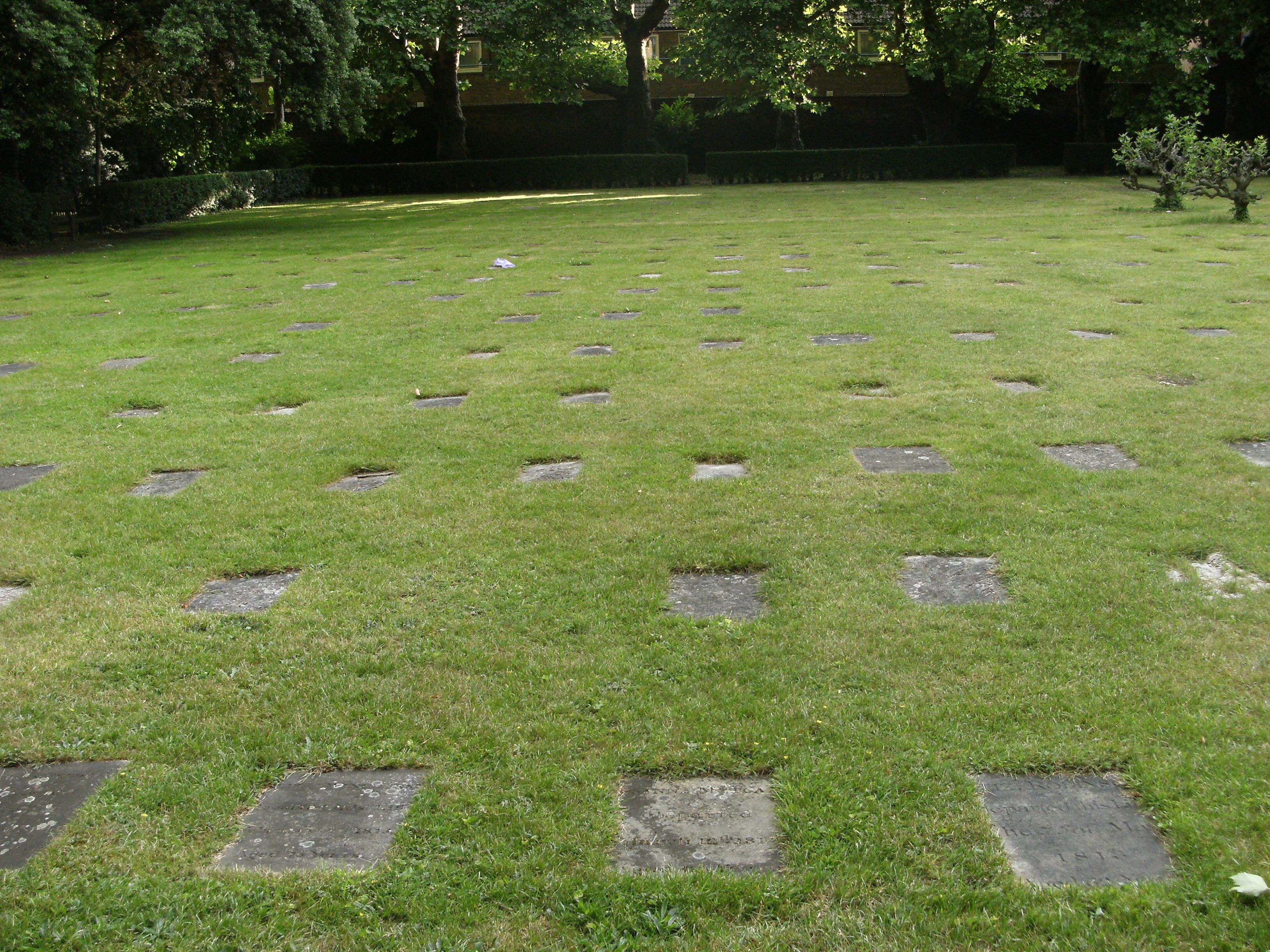
| Description | : | The Burial Ground is located in the grounds of Lindsey House in the Royal Borough of Kensington and Chelsea, just off Milman Street (near Moravian Place), near Cheyne Walk and Beaufort Street. Burials began at the burial ground in 1751. The ground was only lightly used, with deep burials. For this reason, it was specifically exempted from the Act for closing London cemeteries of 1855. Interments were stopped in 1888, although it may still be used for ashes. The Moravians generally call their burial grounds 'God's Acre'. The Fetter Lane Congregation of the Moravian Church is also known... Read More |
frequently asked questions (FAQ):
-
Where is Moravian Cemetery?
Moravian Cemetery is located at Chelsea, Royal Borough of Kensington and Chelsea ,Greater London ,England.
-
Moravian Cemetery cemetery's updated grave count on graveviews.com?
33 memorials
-
Where are the coordinates of the Moravian Cemetery?
Latitude: 51.4824770
Longitude: -0.1753010
Nearby Cemetories:
1. All Saints Churchyard
Chelsea, Royal Borough of Kensington and Chelsea, England
Coordinate: 51.4829865, -0.1709640
2. St Mary's Churchyard
Battersea, London Borough of Wandsworth, England
Coordinate: 51.4765340, -0.1755160
3. King’s Road Old Burial Ground
Chelsea, Royal Borough of Kensington and Chelsea, England
Coordinate: 51.4874000, -0.1696900
4. St. Lukes Graveyard
Chelsea, Royal Borough of Kensington and Chelsea, England
Coordinate: 51.4891530, -0.1692260
5. St. Mary The Boltons
Brompton, Royal Borough of Kensington and Chelsea, England
Coordinate: 51.4892000, -0.1841000
6. National Army Museum
Chelsea, Royal Borough of Kensington and Chelsea, England
Coordinate: 51.4862160, -0.1602510
7. Royal Hospital Chelsea Burial Ground
Chelsea, Royal Borough of Kensington and Chelsea, England
Coordinate: 51.4872600, -0.1580700
8. Brompton Cemetery
West Brompton, Royal Borough of Kensington and Chelsea, England
Coordinate: 51.4878670, -0.1939320
9. All Soul's Churchyard
Chelsea, Royal Borough of Kensington and Chelsea, England
Coordinate: 51.4926500, -0.1618090
10. St Marys Roman Catholic Church
Royal Borough of Kensington and Chelsea, England
Coordinate: 51.4932840, -0.1613680
11. Victoria and Albert Museum
Royal Borough of Kensington and Chelsea, England
Coordinate: 51.4966271, -0.1721437
12. Holy Trinity Brompton Churchyard
Knightsbridge, Royal Borough of Kensington and Chelsea, England
Coordinate: 51.4978570, -0.1699870
13. Kensington Gardens
Kensington, Royal Borough of Kensington and Chelsea, England
Coordinate: 51.5023994, -0.1777000
14. Saint Mary Abbots Churchyard
Kensington, Royal Borough of Kensington and Chelsea, England
Coordinate: 51.5023420, -0.1915820
15. St George the Martyr
Battersea, London Borough of Wandsworth, England
Coordinate: 51.4805000, -0.1388000
16. Battersea Rise Cemetery
Battersea, London Borough of Wandsworth, England
Coordinate: 51.4584150, -0.1703680
17. St. Paul's Churchyard
Clapham, London Borough of Lambeth, England
Coordinate: 51.4688160, -0.1402690
18. Westminster Cathedral
Westminster, City of Westminster, England
Coordinate: 51.4957870, -0.1394630
19. Fulham Palace Road Cemetery
Fulham, London Borough of Hammersmith and Fulham, England
Coordinate: 51.4805679, -0.2176690
20. All Saints Churchyard
Fulham, London Borough of Hammersmith and Fulham, England
Coordinate: 51.4685730, -0.2118310
21. St. Mary's Churchyard
Fulham, London Borough of Hammersmith and Fulham, England
Coordinate: 51.4938170, -0.2145830
22. Hyde Park Memorials
Westminster, City of Westminster, England
Coordinate: 51.5087160, -0.1634220
23. Margravine Cemetery
Hammersmith, London Borough of Hammersmith and Fulham, England
Coordinate: 51.4880570, -0.2186720
24. All Saints Churchyard
Wandsworth, London Borough of Wandsworth, England
Coordinate: 51.4575400, -0.1954190