| Memorials | : | 0 |
| Location | : | Indianapolis, Marion County, USA |
| Coordinate | : | 39.6462400, -86.0093700 |
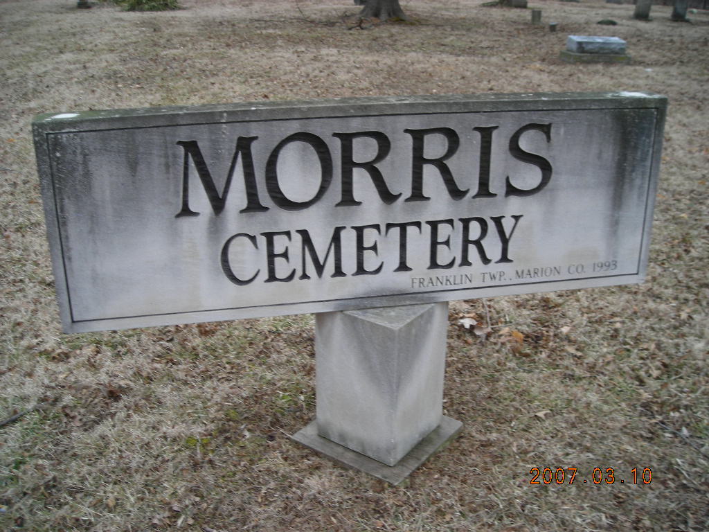
| Description | : | This Franklin Township cemetery was established on the David Morris farm about 1835. The earliest known grave marker is 1840). The last burial was in 1926. It was also referred to as "Knapp Cemetery". |
frequently asked questions (FAQ):
-
Where is Morris Cemetery?
Morris Cemetery is located at 8400 S. Knapp Road Indianapolis, Marion County ,Indiana ,USA.
-
Morris Cemetery cemetery's updated grave count on graveviews.com?
0 memorials
-
Where are the coordinates of the Morris Cemetery?
Latitude: 39.6462400
Longitude: -86.0093700
Nearby Cemetories:
1. Johnson Cemetery
Rocklane, Johnson County, USA
Coordinate: 39.6352234, -86.0033340
2. Huffman Cemetery
Rocklane, Johnson County, USA
Coordinate: 39.6322517, -85.9862366
3. Kemper Farm Cemetery
Marion County, USA
Coordinate: 39.6586838, -86.0382538
4. Nolin Cemetery
Johnson County, USA
Coordinate: 39.6221650, -86.0253040
5. Big Run Cemetery
Indianapolis, Marion County, USA
Coordinate: 39.6743160, -86.0182500
6. Acton Cemetery
Acton, Marion County, USA
Coordinate: 39.6539383, -85.9715805
7. Rubush-Joyce Cemetery
Acton, Marion County, USA
Coordinate: 39.6423800, -85.9621950
8. Rocklane Cemetery
Greenwood, Johnson County, USA
Coordinate: 39.6093178, -86.0136566
9. Parsley Cemetery
Acton, Marion County, USA
Coordinate: 39.6602570, -85.9646480
10. Stevens Cemetery
Rocklane, Johnson County, USA
Coordinate: 39.6065510, -86.0041200
11. Piner Cemetery
Indianapolis, Marion County, USA
Coordinate: 39.6665900, -86.0542800
12. Imel Cemetery
Rocklane, Johnson County, USA
Coordinate: 39.6057854, -85.9842834
13. Ebenezer Cemetery
Indianapolis, Marion County, USA
Coordinate: 39.6814380, -86.0462360
14. Billingsly Cemetery
Rocklane, Johnson County, USA
Coordinate: 39.5957985, -86.0305252
15. Adams-O'Neal Cemetery
Indianapolis, Marion County, USA
Coordinate: 39.7011670, -86.0178760
16. Pleasant View Cemetery
Pleasant View, Shelby County, USA
Coordinate: 39.6678009, -85.9431992
17. Orchard Hill Cemetery
Wanamaker, Marion County, USA
Coordinate: 39.7027540, -86.0067490
18. Founders Cemetery
Wanamaker, Marion County, USA
Coordinate: 39.7027779, -86.0077744
19. Fisher Cemetery
Wanamaker, Marion County, USA
Coordinate: 39.7041200, -86.0073700
20. Mount Zion Cemetery
Marion County, USA
Coordinate: 39.6730340, -86.0822930
21. Draper Cemetery
Greenwood, Johnson County, USA
Coordinate: 39.5853004, -86.0363846
22. Dake Cemetery
Shelby County, USA
Coordinate: 39.6310770, -85.9272270
23. Glade Cemetery
New Whiteland, Johnson County, USA
Coordinate: 39.5853004, -86.0425034
24. Joyce Cemetery
Shelby County, USA
Coordinate: 39.6766396, -85.9297638

