
| Memorials | : | 0 |
| Location | : | New Whiteland, Johnson County, USA |
| Coordinate | : | 39.5853004, -86.0425034 |
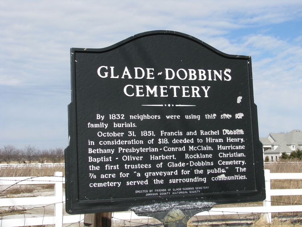
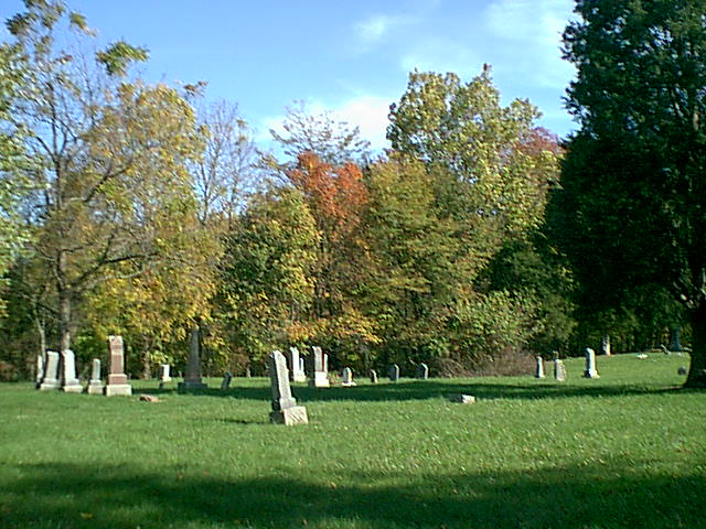
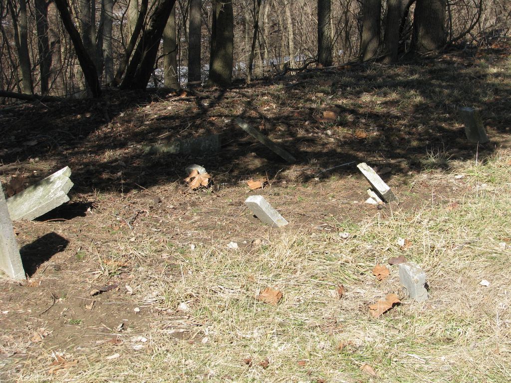
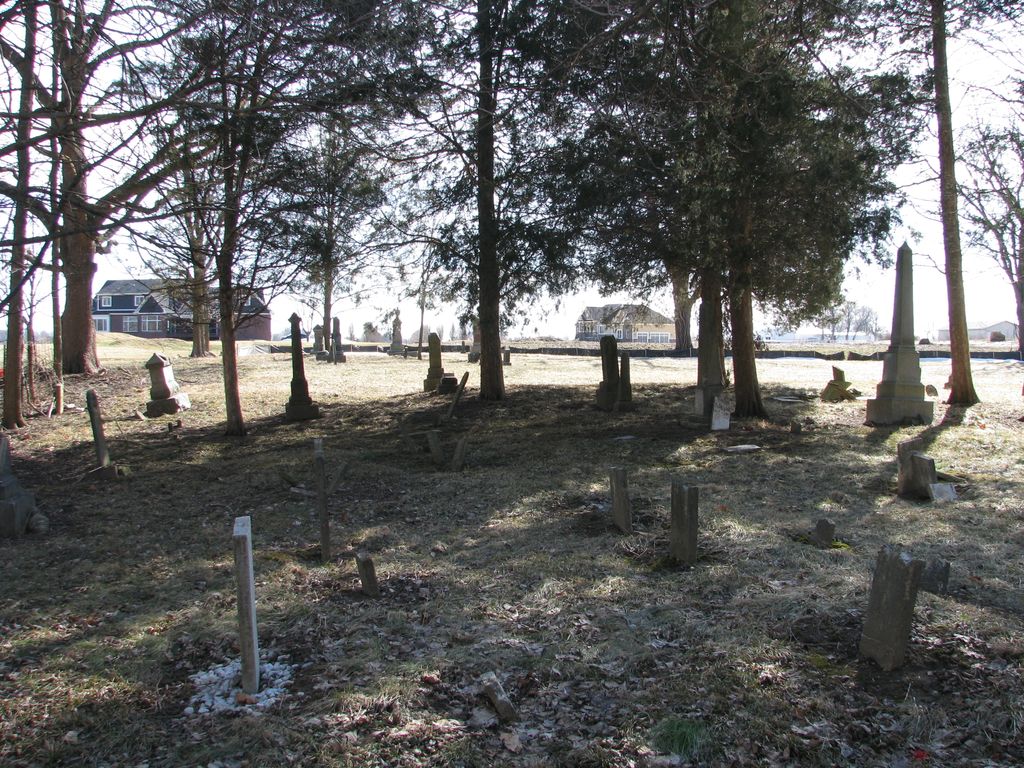
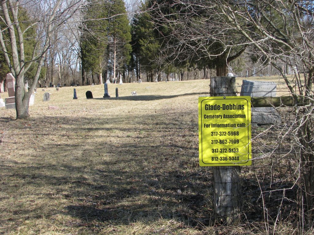
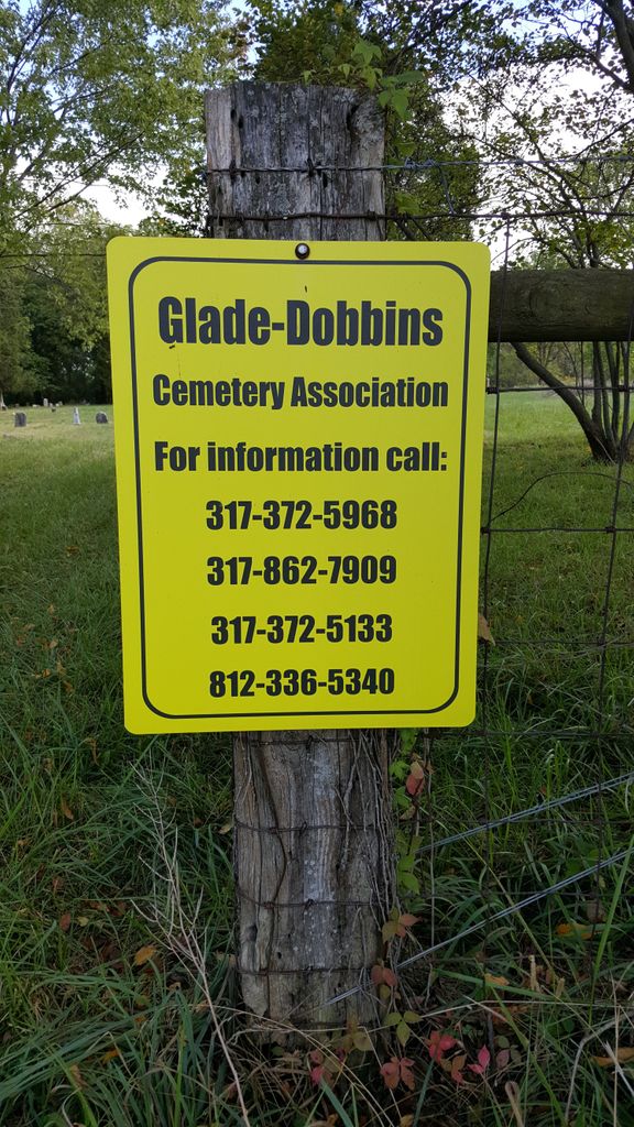
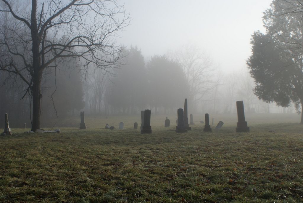
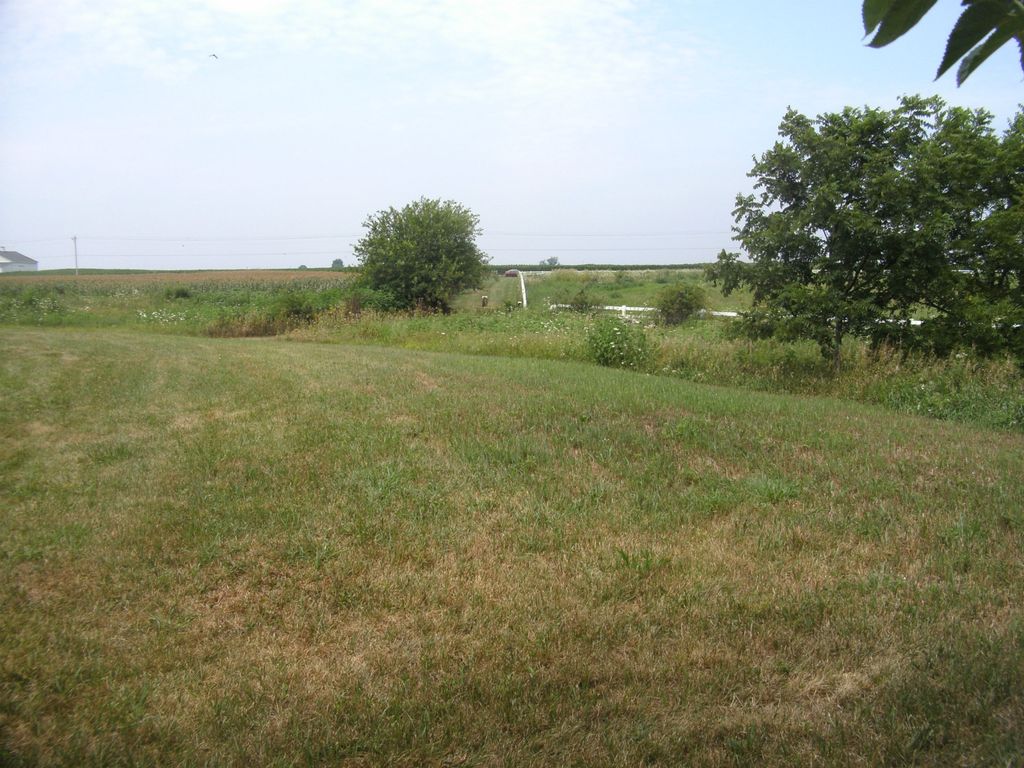
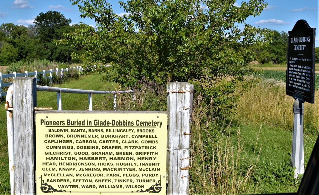
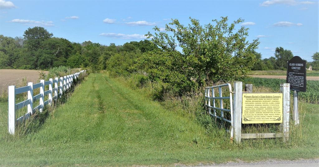
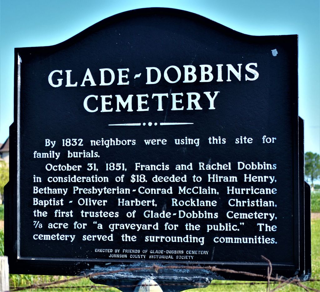
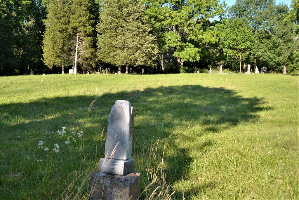
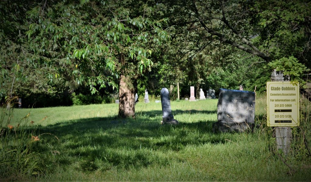
| Description | : | The cemetery is located in Clark Township (S half of the NW quadrant of the SW quadrant of Section 12 Township 13N Range 4E) about 800 feet east of N County Road 300 E about 0.2 miles south of its intersection with East Worthsville Road (E County Road 750 N). Indiana Cemetery Locations, Volume 1, published by the Indiana Genealogical Society (02 April 2005), gives the primary cemetery name as Glade Cemetery with an alternate name of Dobbins Cemetery. The cemetery is listed in the Cemetery and Burial Grounds Registry of the Indiana Department of Natural Resources (DNR)... Read More |
frequently asked questions (FAQ):
-
Where is Glade Cemetery?
Glade Cemetery is located at N County Road 300 E New Whiteland, Johnson County ,Indiana , 46184USA.
-
Glade Cemetery cemetery's updated grave count on graveviews.com?
0 memorials
-
Where are the coordinates of the Glade Cemetery?
Latitude: 39.5853004
Longitude: -86.0425034
Nearby Cemetories:
1. Draper Cemetery
Greenwood, Johnson County, USA
Coordinate: 39.5853004, -86.0363846
2. Billingsly Cemetery
Rocklane, Johnson County, USA
Coordinate: 39.5957985, -86.0305252
3. DeMott Cemetery
Whiteland, Johnson County, USA
Coordinate: 39.5601196, -86.0452576
4. Williams Cemetery
Johnson County, USA
Coordinate: 39.5654700, -86.0195400
5. Rocklane Cemetery
Greenwood, Johnson County, USA
Coordinate: 39.6093178, -86.0136566
6. Stevens Cemetery
Rocklane, Johnson County, USA
Coordinate: 39.6065510, -86.0041200
7. Nolin Cemetery
Johnson County, USA
Coordinate: 39.6221650, -86.0253040
8. Murphy Cemetery
Whiteland, Johnson County, USA
Coordinate: 39.5428030, -86.0746680
9. Imel Cemetery
Rocklane, Johnson County, USA
Coordinate: 39.6057854, -85.9842834
10. Brewer Cemetery
Whiteland, Johnson County, USA
Coordinate: 39.5463920, -86.0924590
11. Saint Thomas Episcopal Church Memorial Garden
Franklin, Johnson County, USA
Coordinate: 39.5359340, -86.0766060
12. Hurricane Cemetery
Franklin, Johnson County, USA
Coordinate: 39.5283012, -86.0355988
13. Johnson Cemetery
Rocklane, Johnson County, USA
Coordinate: 39.6352234, -86.0033340
14. MaGill-Patterson Cemetery
Needham, Johnson County, USA
Coordinate: 39.5366180, -86.0005040
15. Crittendon Cemetery
Whiteland, Johnson County, USA
Coordinate: 39.5275180, -86.0704190
16. Huffman Cemetery
Rocklane, Johnson County, USA
Coordinate: 39.6322517, -85.9862366
17. Noble Cemetery
Johnson County, USA
Coordinate: 39.6204414, -86.1118240
18. Greenwood Cemetery
Greenwood, Johnson County, USA
Coordinate: 39.6164830, -86.1167620
19. Morris Cemetery
Indianapolis, Marion County, USA
Coordinate: 39.6462400, -86.0093700
20. Pleasant Grove Cemetery
New Whiteland, Johnson County, USA
Coordinate: 39.5419006, -86.1149979
21. Patterson Cemetery
Urmeyville, Johnson County, USA
Coordinate: 39.5220100, -85.9941570
22. Kemper Farm Cemetery
Marion County, USA
Coordinate: 39.6586838, -86.0382538
23. Honey Creek United Methodist Cemetery
Greenwood, Johnson County, USA
Coordinate: 39.5775299, -86.1401978
24. Mozingo Cemetery
Johnson County, USA
Coordinate: 39.5300000, -85.9711000