| Memorials | : | 4 |
| Location | : | Stull, Douglas County, USA |
| Coordinate | : | 38.9425011, -95.4558029 |
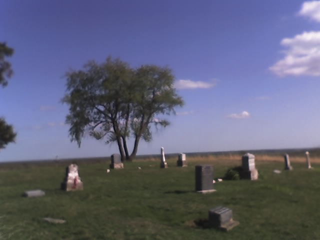
| Description | : | Location about 1 mile South of Stull, Douglas County, Kansas. On the N W Corner of E250th Rd & N 1400th Rd. A cemetery charter was drawn up on November 1, 1890, although there were burials here much earlier. The name "Mound" possibly given because it's located on a scenic Natural mound which offer a view of the Clinton Lake Dam about ten miles to the east. Mailing Address: 222 N 1537 Road Lecompton, KS 66050-4064 |
frequently asked questions (FAQ):
-
Where is Mound View Cemetery?
Mound View Cemetery is located at 244 N 1400 Road Stull, Douglas County ,Kansas ,USA.
-
Mound View Cemetery cemetery's updated grave count on graveviews.com?
4 memorials
-
Where are the coordinates of the Mound View Cemetery?
Latitude: 38.9425011
Longitude: -95.4558029
Nearby Cemetories:
1. Stull Cemetery
Stull, Douglas County, USA
Coordinate: 38.9714203, -95.4546204
2. Clinton Cemetery
Clinton, Douglas County, USA
Coordinate: 38.9136009, -95.4105988
3. Riggs Family Cemetery
Clinton, Douglas County, USA
Coordinate: 38.8949300, -95.4978100
4. Twin Mound Cemetery
Clinton, Douglas County, USA
Coordinate: 38.8692017, -95.4819031
5. Saint Peters Cemetery
Lecompton, Douglas County, USA
Coordinate: 39.0139885, -95.4941635
6. Richland Cemetery
Richland, Shawnee County, USA
Coordinate: 38.8767014, -95.5196991
7. Eastview Cemetery
Big Springs, Douglas County, USA
Coordinate: 39.0222015, -95.4858475
8. Zion Cemetery
Watson, Shawnee County, USA
Coordinate: 38.9861984, -95.5481033
9. Boles Cemetery
Shawnee County, USA
Coordinate: 38.8798400, -95.5307200
10. Jones Cemetery
Lawrence, Douglas County, USA
Coordinate: 38.8936950, -95.3620840
11. Borrowed Light Memorial Park
Lecompton, Douglas County, USA
Coordinate: 39.0246200, -95.4101100
12. Rock Creek Cemetery
Douglas County, USA
Coordinate: 38.8488998, -95.4561005
13. Klaus Family Cemetery
Lecompton, Douglas County, USA
Coordinate: 39.0354200, -95.4365400
14. Emmanuel Cemetery
Watson, Shawnee County, USA
Coordinate: 38.9719009, -95.5744019
15. Johnson Cemetery
Douglas County, USA
Coordinate: 38.8857700, -95.3545300
16. Pleasant Hill Cemetery
Berryton, Shawnee County, USA
Coordinate: 38.9103012, -95.5763016
17. Maple Grove Cemetery
Lecompton, Douglas County, USA
Coordinate: 39.0405998, -95.4231033
18. Bauer Cemetery
Topeka, Shawnee County, USA
Coordinate: 38.9864006, -95.5764008
19. Corpus Christi Catholic Church Columbarium
Lawrence, Douglas County, USA
Coordinate: 38.9572250, -95.3238450
20. Pioneer Cemetery
Lecompton, Douglas County, USA
Coordinate: 39.0378456, -95.3971863
21. Moore Grave Site
Lecompton, Douglas County, USA
Coordinate: 39.0449500, -95.3978300
22. Bald Eagle Cemetery
Lecompton, Douglas County, USA
Coordinate: 39.0461830, -95.3868310
23. Lyon Family Cemetery
Lawrence, Douglas County, USA
Coordinate: 38.9877440, -95.3166530
24. Shirley Cemetery
Lecompton, Douglas County, USA
Coordinate: 39.0583840, -95.4158740


