
| Memorials | : | 6 |
| Location | : | Lawrence, Douglas County, USA |
| Coordinate | : | 38.9877440, -95.3166530 |
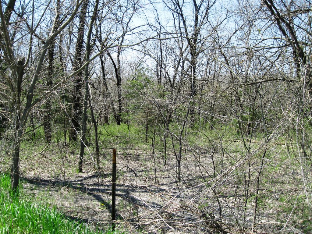
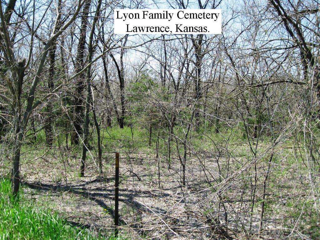
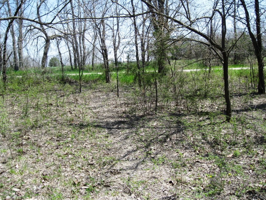
| Description | : | This cemetery was on the Lyon family's farm, which was west of Lawrence, Douglas County, Kansas. It has been neglected, but its graves have not been relocated. Reportedly, there are eight graves in it, but only seven of the people buried there have been identified. The eighth one probably contains the remains the dead infant of Catherine K. Lyon Adams Strong (1828–1877). The cemetery's approximate location is 1710 East 1000 Road, a.k.a. Queens Road. It is about two-and-a-half miles north of 6th Street, and west of the road. |
frequently asked questions (FAQ):
-
Where is Lyon Family Cemetery?
Lyon Family Cemetery is located at 1710 East 1000 Road, a.k.a. Queens Road Lawrence, Douglas County ,Kansas ,USA.
-
Lyon Family Cemetery cemetery's updated grave count on graveviews.com?
0 memorials
-
Where are the coordinates of the Lyon Family Cemetery?
Latitude: 38.9877440
Longitude: -95.3166530
Nearby Cemetories:
1. Davis Cemetery
Lawrence, Douglas County, USA
Coordinate: 38.9722500, -95.2831100
2. Corpus Christi Catholic Church Columbarium
Lawrence, Douglas County, USA
Coordinate: 38.9572250, -95.3238450
3. Lakeview Cemetery
Douglas County, USA
Coordinate: 39.0219100, -95.3164400
4. Adams Cemetery
Douglas County, USA
Coordinate: 38.9955400, -95.2509100
5. Pioneer Cemetery
Lawrence, Douglas County, USA
Coordinate: 38.9528008, -95.2611008
6. Holliday Cemetery
Williamstown, Jefferson County, USA
Coordinate: 39.0438995, -95.3386002
7. First Presbyterian Church Memorial Garden
Lawrence, Douglas County, USA
Coordinate: 38.9414900, -95.2641600
8. Dyche Hall Natural History Museum
Lawrence, Douglas County, USA
Coordinate: 38.9584800, -95.2434800
9. Trinity Episcopal Church Columbarium
Lawrence, Douglas County, USA
Coordinate: 38.9653893, -95.2373886
10. Maple Grove Cemetery
Lawrence, Douglas County, USA
Coordinate: 39.0018997, -95.2316971
11. Underwood Cemetery
Perry, Jefferson County, USA
Coordinate: 39.0661011, -95.3116989
12. Bald Eagle Cemetery
Lecompton, Douglas County, USA
Coordinate: 39.0461830, -95.3868310
13. Pioneer Cemetery
Lecompton, Douglas County, USA
Coordinate: 39.0378456, -95.3971863
14. Borrowed Light Memorial Park
Lecompton, Douglas County, USA
Coordinate: 39.0246200, -95.4101100
15. Moore Grave Site
Lecompton, Douglas County, USA
Coordinate: 39.0449500, -95.3978300
16. Mount Calvary Catholic Cemetery
Lawrence, Douglas County, USA
Coordinate: 38.9580002, -95.2139969
17. Memorial Park Cemetery
Lawrence, Douglas County, USA
Coordinate: 38.9552994, -95.2153015
18. Haskell Cemetery
Lawrence, Douglas County, USA
Coordinate: 38.9353790, -95.2284241
19. Oak Hill Cemetery
Lawrence, Douglas County, USA
Coordinate: 38.9589005, -95.2118988
20. Dutton Cemetery
Douglas County, USA
Coordinate: 38.8989800, -95.2790600
21. Maple Grove Cemetery
Lecompton, Douglas County, USA
Coordinate: 39.0405998, -95.4231033
22. Chester Cemetery
Williamstown, Jefferson County, USA
Coordinate: 39.0766780, -95.2572680
23. Jones Cemetery
Lawrence, Douglas County, USA
Coordinate: 38.8936950, -95.3620840
24. Marshall Cemetery
Douglas County, USA
Coordinate: 38.9040800, -95.2446700