| Memorials | : | 0 |
| Location | : | McBaine, Boone County, USA |
| Coordinate | : | 38.8762100, -92.4198600 |
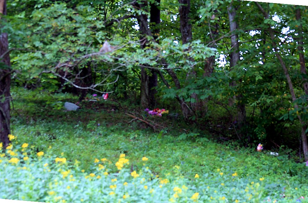
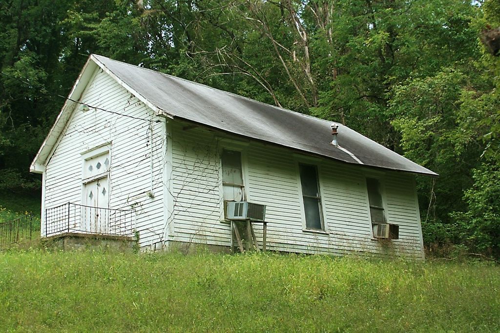
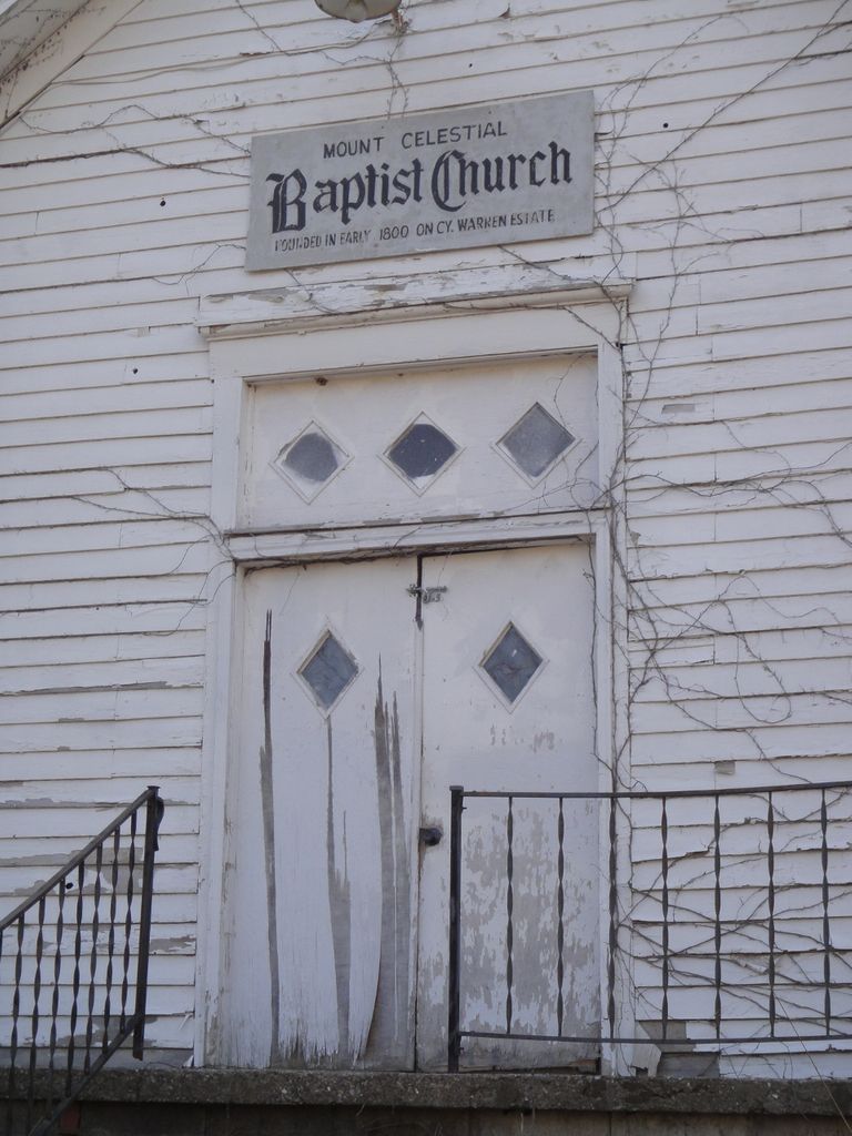
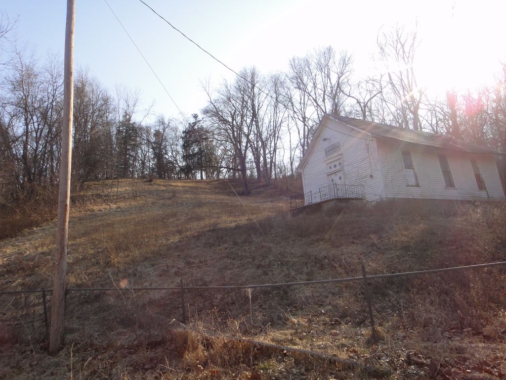
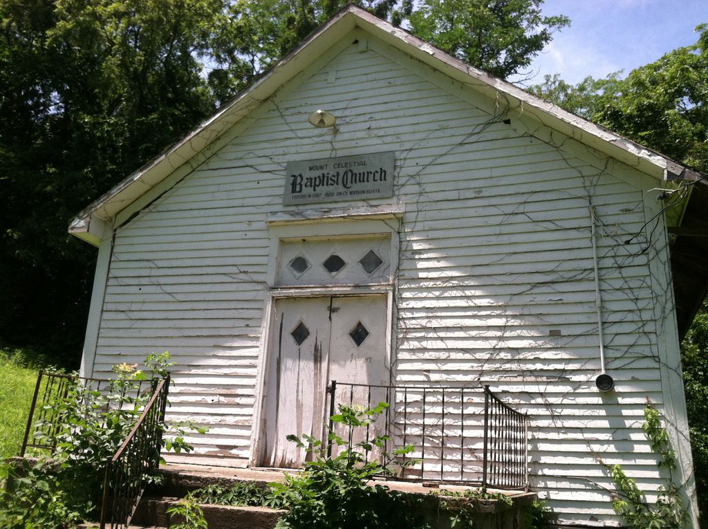
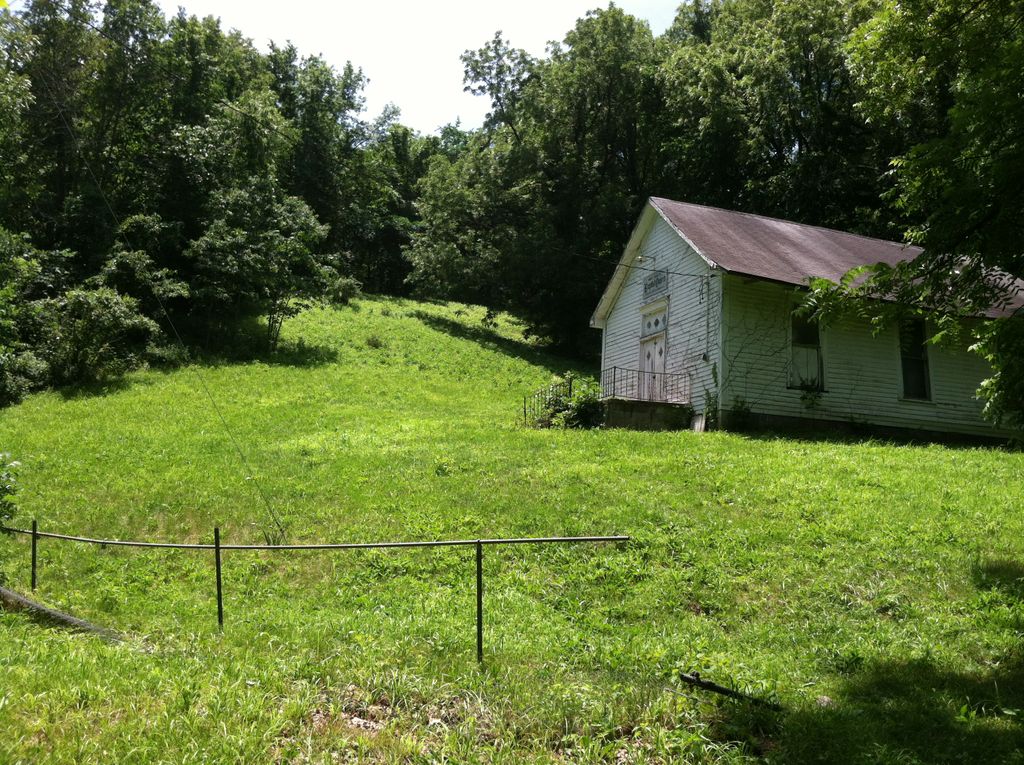
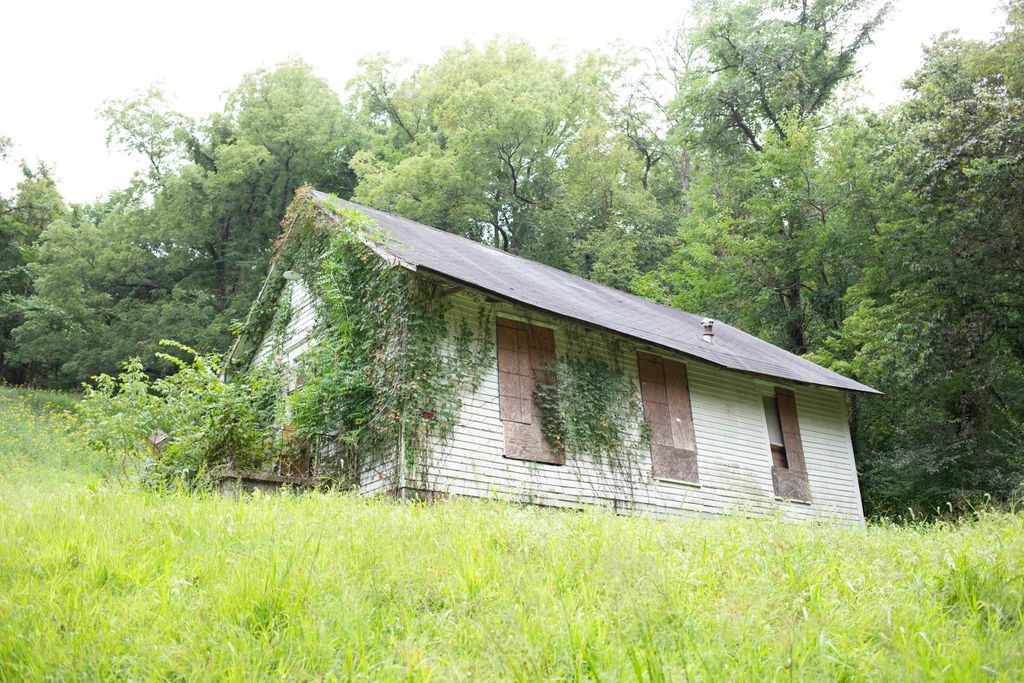
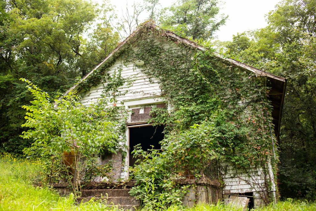
| Description | : | Mount Celestial Church (Near McBaine, Missouri) This is the former Mount Celestial Church and now is a rural abandoned building. The church has moved. Mount Celestial Missionary Baptist Church II is now at 1410 Grand Avenue, Columbia, Missouri. Mount Celestial Church Cemetery The cemetery is up a steep hill at the left rear of the abandoned building. Both the church and cemetery are on a hill which rises steeply from the road now accessible only on foot from the road. Since the location is near McBaine and the Missouri River, which in flood covers Mount Celestial Road, the... Read More |
frequently asked questions (FAQ):
-
Where is Mount Celestial Church Cemetery?
Mount Celestial Church Cemetery is located at 6551 S. Mount Celestial Road McBaine, Boone County ,Missouri , 65203-8705USA.
-
Mount Celestial Church Cemetery cemetery's updated grave count on graveviews.com?
0 memorials
-
Where are the coordinates of the Mount Celestial Church Cemetery?
Latitude: 38.8762100
Longitude: -92.4198600
Nearby Cemetories:
1. Conley Cemetery
Boone County, USA
Coordinate: 38.8885994, -92.4357986
2. Old Union Cemetery
Columbia, Boone County, USA
Coordinate: 38.8782100, -92.3829900
3. Samuel Cemetery
Boone County, USA
Coordinate: 38.8642006, -92.3713989
4. Pettigrew Cemetery
Moniteau County, USA
Coordinate: 38.8643990, -92.4747009
5. Hickam Cemetery
Lupus, Moniteau County, USA
Coordinate: 38.8391991, -92.4535980
6. Johnson Family Plot
Lupus, Moniteau County, USA
Coordinate: 38.8326200, -92.4505200
7. Mount Nebo Cemetery
Boone County, USA
Coordinate: 38.9239006, -92.4610977
8. Bethel-Hickam Cemetery
Columbia, Boone County, USA
Coordinate: 38.8911460, -92.3451840
9. Sprinkle Family Cemetery
Columbia, Boone County, USA
Coordinate: 38.9321100, -92.3854700
10. Hill-Beatty Cemetery
Lupus, Moniteau County, USA
Coordinate: 38.8437800, -92.4897500
11. Goodin Cemetery
Boone County, USA
Coordinate: 38.9406400, -92.4025000
12. Copps Chapel Cemetery
Moniteau County, USA
Coordinate: 38.8838100, -92.5042500
13. Fairview Cemetery
Columbia, Boone County, USA
Coordinate: 38.9354930, -92.3801810
14. Turner Family Cemetery # 1
Columbia, Boone County, USA
Coordinate: 38.8482600, -92.3344600
15. Renfrow Family Cemetery
Lupus, Moniteau County, USA
Coordinate: 38.8469000, -92.5054800
16. Mount Zion Cemetery
Jamestown, Moniteau County, USA
Coordinate: 38.8064200, -92.4506300
17. Valley Springs Cemetery
Columbia, Boone County, USA
Coordinate: 38.9486008, -92.4424973
18. Nashville Cemetery
Sapp, Boone County, USA
Coordinate: 38.8243484, -92.3498764
19. Jewell Cemetery
Columbia, Boone County, USA
Coordinate: 38.9199982, -92.3360977
20. Sugar Creek Cemetery
Huntsdale, Boone County, USA
Coordinate: 38.9455986, -92.4721985
21. Green Acres Cemetery
Columbia, Boone County, USA
Coordinate: 38.9457300, -92.4732400
22. Fortney Cemetery
Boone County, USA
Coordinate: 38.8786011, -92.3143997
23. Bethel Cemetery
Jamestown, Moniteau County, USA
Coordinate: 38.7975006, -92.4507980
24. Courtyard Memorial Garden
Columbia, Boone County, USA
Coordinate: 38.9418880, -92.3524030

