
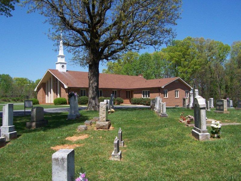
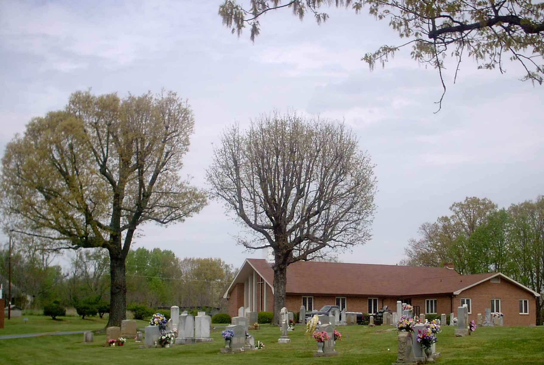
| Memorials | : | 270 |
| Location | : | Madison, Rockingham County, USA |
| Coordinate | : | 36.4283160, -80.0296580 |
| Description | : | From the intersection of Ayersville Road (NC Highway 704) and North Highway Street (US Highway 220 Business), travel 4.16 miles west on Ayersville Road (NC Highway 704); the church and cemetery will be on the right. |
frequently asked questions (FAQ):
-
Where is Mount Hermon United Methodist Church Cemetery?
Mount Hermon United Methodist Church Cemetery is located at 8011 NC Highway 704 Madison, Rockingham County ,North Carolina , 27025USA.
-
Mount Hermon United Methodist Church Cemetery cemetery's updated grave count on graveviews.com?
270 memorials
-
Where are the coordinates of the Mount Hermon United Methodist Church Cemetery?
Latitude: 36.4283160
Longitude: -80.0296580
Nearby Cemetories:
1. Nelson Family Cemetery
Madison, Rockingham County, USA
Coordinate: 36.4279320, -80.0294220
2. Freeman Family Cemetery
Stokes County, USA
Coordinate: 36.4265670, -80.0441620
3. Brim Cemetery
Dillard, Stokes County, USA
Coordinate: 36.4166420, -80.0466760
4. Community Baptist Church Cemetery
Mayodan, Rockingham County, USA
Coordinate: 36.4468920, -80.0295150
5. Gann Cemetery
Rockingham County, USA
Coordinate: 36.4311950, -80.0066800
6. Hunter Cemetery
Madison, Rockingham County, USA
Coordinate: 36.4405730, -80.0059740
7. Price Family Cemetery
Beaver Island, Stokes County, USA
Coordinate: 36.4147300, -80.0527180
8. Webster's Cemetery
Beaver Island, Stokes County, USA
Coordinate: 36.4137380, -80.0544640
9. Joyce Family Cemetery
Beaver Island, Stokes County, USA
Coordinate: 36.4505740, -80.0464350
10. Old Country Church
Madison, Rockingham County, USA
Coordinate: 36.4126015, -79.9987030
11. Goodwill Baptist Church Cemetery
Madison, Rockingham County, USA
Coordinate: 36.3947360, -80.0228310
12. Martin Cemetery
Ayersville, Rockingham County, USA
Coordinate: 36.4612240, -80.0172890
13. Clearview Baptist Church Cemetery
Mayodan, Rockingham County, USA
Coordinate: 36.4224170, -79.9843980
14. Martin View Church Cemetery
Mayodan, Rockingham County, USA
Coordinate: 36.4565269, -79.9994876
15. Oak Grove Baptist Church Cemetery
Dillard, Stokes County, USA
Coordinate: 36.4221080, -80.0841210
16. Beaver Island Baptist Church Cemetery
Rockingham County, USA
Coordinate: 36.4570007, -79.9870987
17. Cardwell Cemetery
Madison, Rockingham County, USA
Coordinate: 36.4063500, -79.9801730
18. Foy-Gibson Cemetery
Rockingham County, USA
Coordinate: 36.3852921, -80.0071640
19. Llewellyn Cemetery
Mayodan, Rockingham County, USA
Coordinate: 36.4502983, -79.9768982
20. Mayodan Municipal Cemetery
Mayodan, Rockingham County, USA
Coordinate: 36.4079090, -79.9749350
21. Griffin Family Cemetery
Rockingham County, USA
Coordinate: 36.4240720, -79.9679370
22. Mitchell Cemetery
Dillard, Stokes County, USA
Coordinate: 36.4114050, -80.0891200
23. Old Mayodan Municipal Cemetery
Mayodan, Rockingham County, USA
Coordinate: 36.4089300, -79.9704900
24. Mayodan Moravian God's Acre
Mayodan, Rockingham County, USA
Coordinate: 36.4084260, -79.9706940