
| Memorials | : | 26 |
| Location | : | Dillard, Stokes County, USA |
| Coordinate | : | 36.4221080, -80.0841210 |
| Description | : | From the intersection of NC Highway 772 and K-Fork Road, travel 0.14 miles north on NC Highway 772; the church and cemetery will be on the left. |
frequently asked questions (FAQ):
-
Where is Oak Grove Baptist Church Cemetery?
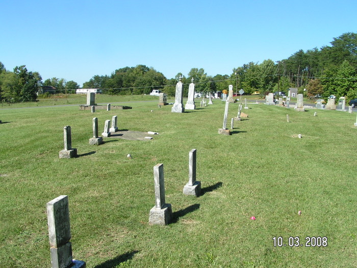
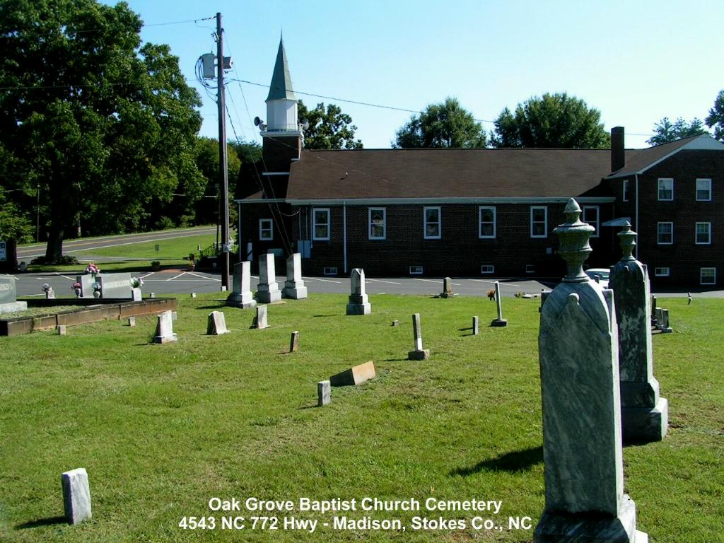
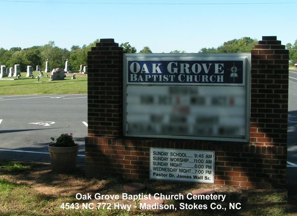
Oak Grove Baptist Church Cemetery is located at 4543 NC-772 Dillard, Stokes County ,North Carolina , 27025USA.
-
Oak Grove Baptist Church Cemetery cemetery's updated grave count on graveviews.com?
23 memorials
-
Where are the coordinates of the Oak Grove Baptist Church Cemetery?
Latitude: 36.4221080
Longitude: -80.0841210
Nearby Cemetories:
1. Reid Family Cemetery
Dodgetown, Stokes County, USA
Coordinate: 36.4185876, -80.0961361
2. Mitchell Cemetery
Dillard, Stokes County, USA
Coordinate: 36.4114050, -80.0891200
3. Flynt Cemetery
Dodgetown, Stokes County, USA
Coordinate: 36.4328156, -80.1025238
4. Mitchell Family Cemetery
Dillard, Stokes County, USA
Coordinate: 36.4058320, -80.1057440
5. Wilson Primitive Baptist Church Cemetery
Dodgetown, Stokes County, USA
Coordinate: 36.4141300, -80.1128090
6. Webster's Cemetery
Beaver Island, Stokes County, USA
Coordinate: 36.4137380, -80.0544640
7. Price Family Cemetery
Beaver Island, Stokes County, USA
Coordinate: 36.4147300, -80.0527180
8. Morton Family Cemetery
Dodgetown, Stokes County, USA
Coordinate: 36.4260800, -80.1177530
9. Brim Cemetery
Dillard, Stokes County, USA
Coordinate: 36.4166420, -80.0466760
10. Freeman Family Cemetery
Stokes County, USA
Coordinate: 36.4265670, -80.0441620
11. Fagg-Bennett Cemetery
Stokes County, USA
Coordinate: 36.4176300, -80.1310100
12. Joyce Family Cemetery
Beaver Island, Stokes County, USA
Coordinate: 36.4505740, -80.0464350
13. Heath Cemetery
Stokes County, USA
Coordinate: 36.3921100, -80.1222290
14. Mount Hermon United Methodist Church Cemetery
Madison, Rockingham County, USA
Coordinate: 36.4283160, -80.0296580
15. Nelson Family Cemetery
Madison, Rockingham County, USA
Coordinate: 36.4279320, -80.0294220
16. Bethesda United Methodist Church Cemetery
Dillard, Stokes County, USA
Coordinate: 36.3769560, -80.0688100
17. Community Baptist Church Cemetery
Mayodan, Rockingham County, USA
Coordinate: 36.4468920, -80.0295150
18. Delta United Methodist Church Cemetery
Delta, Stokes County, USA
Coordinate: 36.4739685, -80.1014786
19. Goodwill Baptist Church Cemetery
Madison, Rockingham County, USA
Coordinate: 36.3947360, -80.0228310
20. Davis Graveyard
Danbury Township, Stokes County, USA
Coordinate: 36.4035350, -80.1507440
21. Gann Cemetery
Rockingham County, USA
Coordinate: 36.4311950, -80.0066800
22. Brown Family Cemetery
Stokes County, USA
Coordinate: 36.3692390, -80.1321720
23. Hunter Cemetery
Madison, Rockingham County, USA
Coordinate: 36.4405730, -80.0059740
24. Martin Cemetery
Ayersville, Rockingham County, USA
Coordinate: 36.4612240, -80.0172890