
| Memorials | : | 1 |
| Location | : | Ripley, Payne County, USA |
| Coordinate | : | 36.0736008, -96.9141998 |
| Description | : | Located north of the Township of Ripley. Directions: turn south off of State Highway 51 onto Ripley Road. Follow this and then turn west onto 44th Street. The cemetery is located on the north side of 44th Street. |
frequently asked questions (FAQ):
-
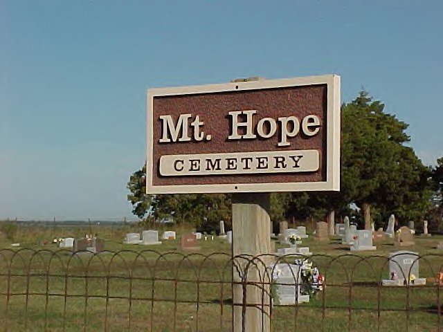
Where is Mount Hope Cemetery?
Mount Hope Cemetery is located at 44th Street Ripley, Payne County ,Oklahoma ,USA.
-
Mount Hope Cemetery cemetery's updated grave count on graveviews.com?
1 memorials
-
Where are the coordinates of the Mount Hope Cemetery?
Latitude: 36.0736008
Longitude: -96.9141998
Nearby Cemetories:
1. Shreve Family Cemetery
Stillwater, Payne County, USA
Coordinate: 36.0841170, -96.9622940
2. Ingalls Cemetery
Ingalls, Payne County, USA
Coordinate: 36.1021996, -96.8713989
3. Ripley Oak Park Cemetery
Ripley, Payne County, USA
Coordinate: 36.0219994, -96.8960037
4. Clayton Cemetery
Ripley, Payne County, USA
Coordinate: 36.0194016, -96.9441986
5. Dunkin Cemetery
Ripley, Payne County, USA
Coordinate: 36.0368996, -96.8375015
6. Bend Cemetery
Ripley, Payne County, USA
Coordinate: 36.0360985, -96.8371964
7. Glenwood Cemetery
Perkins, Payne County, USA
Coordinate: 36.0153008, -96.9985962
8. Bethel Cemetery
Glencoe, Payne County, USA
Coordinate: 36.1733017, -96.8902969
9. Parotte Cemetery
Cushing, Payne County, USA
Coordinate: 35.9706001, -96.8917007
10. Church of the Brethren Cemetery
Cushing, Payne County, USA
Coordinate: 35.9819870, -96.8372955
11. Fairlawn Cemetery
Stillwater, Payne County, USA
Coordinate: 36.1142006, -97.0421982
12. Sunset Memorial Gardens and Mausoleum
Clayton Township, Payne County, USA
Coordinate: 36.0461006, -97.0522003
13. HPUMC Memorial Garden
Stillwater, Payne County, USA
Coordinate: 36.1276600, -97.0412820
14. Union Cemetery
Cushing, Payne County, USA
Coordinate: 35.9998703, -96.8025360
15. Eberle Cemetery
West Point, Payne County, USA
Coordinate: 36.1885986, -96.8811035
16. Iowa Indian Cemetery
Perkins, Payne County, USA
Coordinate: 35.9528008, -96.9610977
17. First United Methodist Church Columbarium
Stillwater, Payne County, USA
Coordinate: 36.1150220, -97.0630450
18. New Zion Cemetery
Cushing, Payne County, USA
Coordinate: 36.0227290, -96.7680020
19. Fairlawn Cemetery
Cushing, Payne County, USA
Coordinate: 36.0197740, -96.7678360
20. Saint Andrews Episcopal Church Columbarium
Stillwater, Payne County, USA
Coordinate: 36.1192780, -97.0650558
21. Glencoe Cemetery
Glencoe, Payne County, USA
Coordinate: 36.2033005, -96.9347000
22. Oakdale Cemetery
Agra, Lincoln County, USA
Coordinate: 35.9338989, -96.8910980
23. Davidson Farm Cemetery
Agra, Lincoln County, USA
Coordinate: 35.9299900, -96.9277000
24. David Lewis Payne Gravesite
Stillwater, Payne County, USA
Coordinate: 36.1458588, -97.0690918