
| Memorials | : | 0 |
| Location | : | Ripley, Payne County, USA |
| Coordinate | : | 36.0368996, -96.8375015 |
| Description | : | Located South of State Highway 51, west of State Highway 18. Directions: take State Highway 18 South to Mehan Road, turn west on Mehan Road, turn south on Clay Road. The cemetery is located on the east side of Clay Road. |
frequently asked questions (FAQ):
-
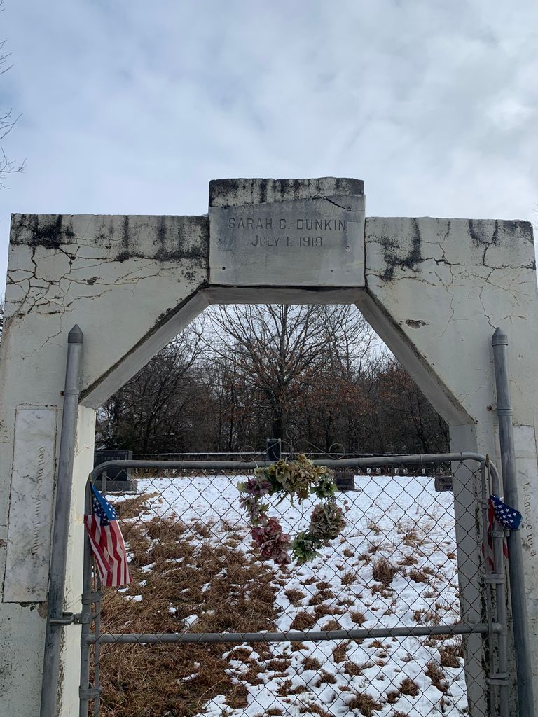
Where is Dunkin Cemetery?
Dunkin Cemetery is located at Clay Road Ripley, Payne County ,Oklahoma ,USA.
-
Dunkin Cemetery cemetery's updated grave count on graveviews.com?
0 memorials
-
Where are the coordinates of the Dunkin Cemetery?
Latitude: 36.0368996
Longitude: -96.8375015
Nearby Cemetories:
1. Bend Cemetery
Ripley, Payne County, USA
Coordinate: 36.0360985, -96.8371964
2. Union Cemetery
Cushing, Payne County, USA
Coordinate: 35.9998703, -96.8025360
3. Ripley Oak Park Cemetery
Ripley, Payne County, USA
Coordinate: 36.0219994, -96.8960037
4. Church of the Brethren Cemetery
Cushing, Payne County, USA
Coordinate: 35.9819870, -96.8372955
5. New Zion Cemetery
Cushing, Payne County, USA
Coordinate: 36.0227290, -96.7680020
6. Fairlawn Cemetery
Cushing, Payne County, USA
Coordinate: 36.0197740, -96.7678360
7. Ingalls Cemetery
Ingalls, Payne County, USA
Coordinate: 36.1021996, -96.8713989
8. Mount Hope Cemetery
Ripley, Payne County, USA
Coordinate: 36.0736008, -96.9141998
9. Parotte Cemetery
Cushing, Payne County, USA
Coordinate: 35.9706001, -96.8917007
10. Clayton Cemetery
Ripley, Payne County, USA
Coordinate: 36.0194016, -96.9441986
11. Flynn Cemetery
Agra, Lincoln County, USA
Coordinate: 35.9413986, -96.8375015
12. Silver Star Cemetery
Cushing, Payne County, USA
Coordinate: 35.9852982, -96.7305984
13. Lutheran Cemetery
Lincoln County, USA
Coordinate: 35.9343100, -96.7843700
14. Shreve Family Cemetery
Stillwater, Payne County, USA
Coordinate: 36.0841170, -96.9622940
15. Oakdale Cemetery
Agra, Lincoln County, USA
Coordinate: 35.9338989, -96.8910980
16. Harrell Cemetery
Cushing, Payne County, USA
Coordinate: 35.9706001, -96.7138977
17. Euchee Valley Memorial Park
Indian Township, Payne County, USA
Coordinate: 35.9839020, -96.6961060
18. Davidson Farm Cemetery
Agra, Lincoln County, USA
Coordinate: 35.9299900, -96.9277000
19. Iowa Indian Cemetery
Perkins, Payne County, USA
Coordinate: 35.9528008, -96.9610977
20. Glenwood Cemetery
Perkins, Payne County, USA
Coordinate: 36.0153008, -96.9985962
21. Henry Hunter Cemetery
Cushing, Payne County, USA
Coordinate: 35.9667015, -96.6864014
22. Greenwood Cemetery
Yale, Payne County, USA
Coordinate: 36.0443993, -96.6613998
23. Bethel Cemetery
Glencoe, Payne County, USA
Coordinate: 36.1733017, -96.8902969
24. Underwood Cemetery
Yale, Payne County, USA
Coordinate: 36.1086006, -96.6778030