
| Memorials | : | 1 |
| Location | : | Mount Moriah, Clay County, USA |
| Coordinate | : | 33.4212189, -85.6624603 |
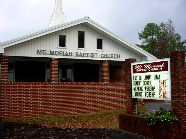
| Description | : | On Mt Moriah School House Road off Mt Moriah Road off Hiway 9 in Clay County, almost to the county line with Randolph County. |
frequently asked questions (FAQ):
-
Where is Mount Moriah Baptist Church Cemetery?
Mount Moriah Baptist Church Cemetery is located at Mount Moriah, Clay County ,Alabama ,USA.
-
Mount Moriah Baptist Church Cemetery cemetery's updated grave count on graveviews.com?
0 memorials
-
Where are the coordinates of the Mount Moriah Baptist Church Cemetery?
Latitude: 33.4212189
Longitude: -85.6624603

Nearby Cemetories:
1. Shiloh Primitive Baptist Cemetery
Delta, Clay County, USA
Coordinate: 33.4467010, -85.6532974
2. Delta Cemetery
Clay County, USA
Coordinate: 33.4383000, -85.6881000
3. Center West Baptist Church Cemetery
Center West, Randolph County, USA
Coordinate: 33.4443700, -85.6340900
4. Black's Chapel Cemetery
Barfield, Clay County, USA
Coordinate: 33.3786507, -85.6944733
5. Sellers Family Cemetery
Randolph County, USA
Coordinate: 33.4233620, -85.5982000
6. Christiana Baptist Church Cemetery
Randolph County, USA
Coordinate: 33.3677300, -85.6406200
7. New Hope Baptist Church Cemetery
Delta, Clay County, USA
Coordinate: 33.3742770, -85.7010980
8. Mount Olive Cemetery North
Delta, Clay County, USA
Coordinate: 33.4165410, -85.7318120
9. Open Door Baptist Church Cemetery
Delta, Clay County, USA
Coordinate: 33.4743860, -85.6932910
10. Liberty Church of Christ Cemetery
Liberty, Randolph County, USA
Coordinate: 33.3665000, -85.6212000
11. Fowler Cemetery
Randolph County, USA
Coordinate: 33.4113998, -85.5832977
12. Corinth Baptist Church Cemetery
Randolph County, USA
Coordinate: 33.4565800, -85.5922510
13. Providence Cemetery
Clay County, USA
Coordinate: 33.4077988, -85.7444000
14. Good Hope Cemetery
Clay County, USA
Coordinate: 33.4592000, -85.7333000
15. Bethel Cemetery
Delta, Clay County, USA
Coordinate: 33.4893990, -85.6841965
16. Pleasant Hill Cemetery
Clay County, USA
Coordinate: 33.3774986, -85.7319031
17. Ragan Chapel Cemetery
Clay County, USA
Coordinate: 33.4942017, -85.6830978
18. McCollum Baptist Church Cemetery
Lineville, Clay County, USA
Coordinate: 33.3452660, -85.6687200
19. Barfield Baptist Church Cemetery
Barfield, Clay County, USA
Coordinate: 33.3584557, -85.7161255
20. New Home United Methodist Church Cemetery
Foster Crossroad, Randolph County, USA
Coordinate: 33.4207573, -85.5600815
21. Lighthouse Independent Baptist Cemetery
Hollis Crossroads, Cleburne County, USA
Coordinate: 33.5084980, -85.6543850
22. Dinglers Chapel Con. Christian Church Cemetery
Randolph County, USA
Coordinate: 33.3327140, -85.6363720
23. Hepsabah Cemetery
Hollis Crossroads, Cleburne County, USA
Coordinate: 33.5008011, -85.6078033
24. Valley Grove Primitive Baptist Church Cemetery
Foster Crossroad, Randolph County, USA
Coordinate: 33.4184036, -85.5511703